- Elevation
- 1,511 m
- above sea level
- Local time
- UTC+09:00
- Asia/Tokyo · UTC+09:00
- Airports
- MMJ Shinshu-Matsumoto Airport67 km
- TOY Toyama Kitokito Airport68 km
About Kurai Yama
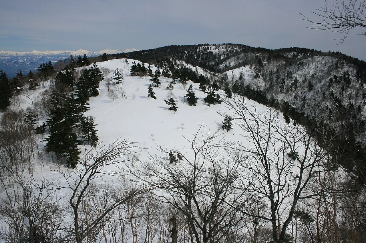
Kurai Yama is a mountain. Location: Gero-shi, Gifu. Elevation: 1,511 m.
Mt. Kurai (位山, Kurai(-san); lit. 'throne mountain') is located on the border of the cities of Takayama and Gero in Gifu Prefecture, Japan. The mountain also separates the watersheds of the northern and southern portions of the Hida region. The Jinzū River flows to the north and the Hida River flows to the south.
Source: Wikipedia · CC BY-SA 4.0
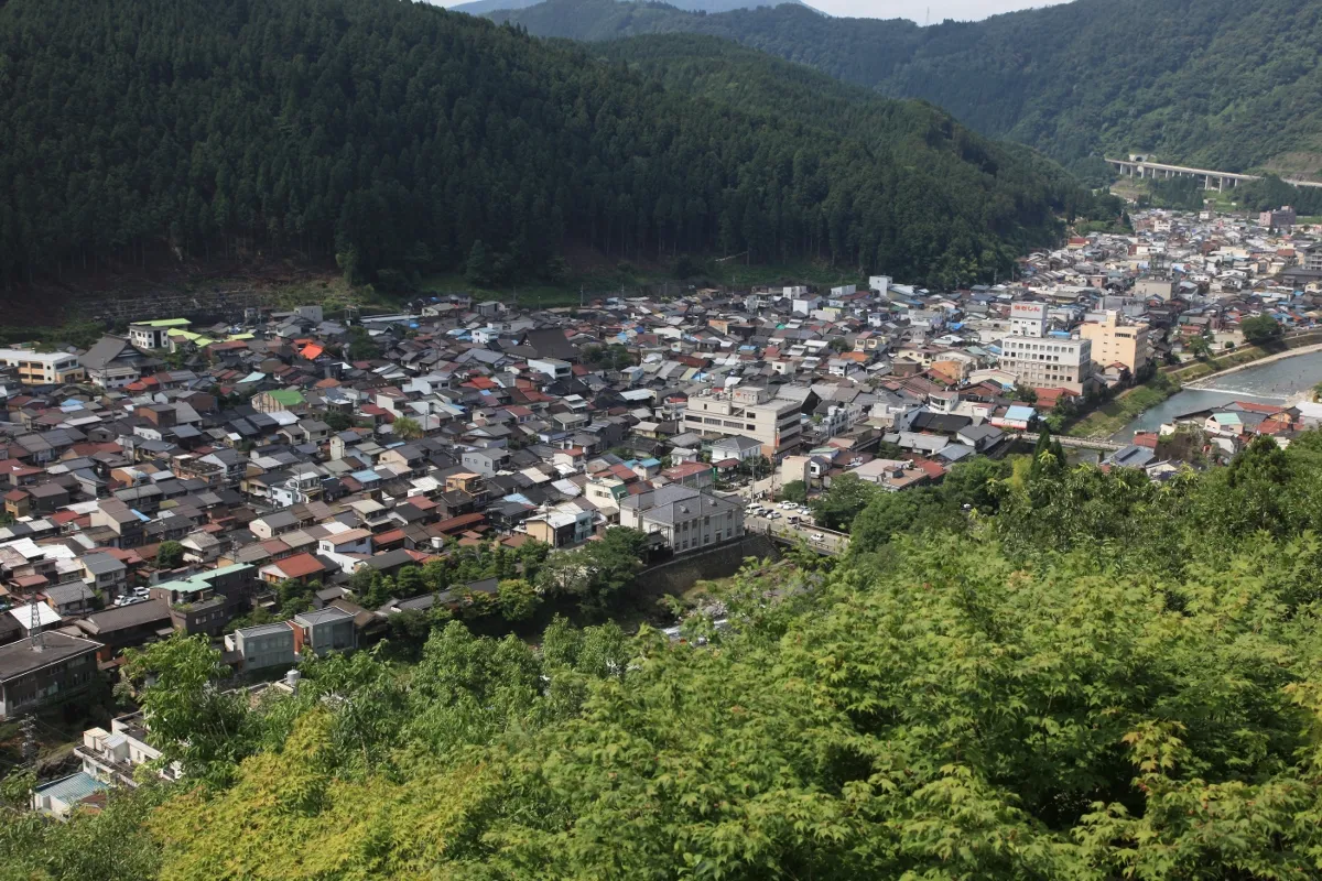
Photos of Kurai Yama
-

Alpsdake · CC BY-SA 4.0 -

Alpsdake · CC BY-SA 4.0 -

motoyoshi · CC BY-SA 3.0


Climate of Kurai Yama
Best months for sightseeingBest months for sightseeing: July–August.
This month · November
A wet month
Day 7° · Night -3° · Rain 102 mm
Better nearby cities in November
- Kofu · 130 km east17°
- Fujinomiya · 157 km southeast18°
- Fuji · 166 km southeast20°
- Hottest month
- August (day 23°)
- Coldest month
- January (night -11°)
- Wettest month
- September (257 mm)
- Driest month
- December (84 mm)
Bars: average monthly low and high temperature. Below: precipitation. Monthly averages for 1970–2000 at about 18 km resolution, adjusted for elevation. Highlighted months are mild and relatively dry. Source: WorldClim 2.1 (CC BY 4.0).
Show values as a table
| Month | Jan | Feb | Mar | Apr | May | Jun | Jul | Aug | Sep | Oct | Nov | Dec |
|---|---|---|---|---|---|---|---|---|---|---|---|---|
| Average high (°C) | -3° | -2° | 2° | 10° | 15° | 18° | 22° | 23° | 18° | 12° | 7° | 1° |
| Average low (°C) | -11° | -11° | -8° | -1° | 4° | 9° | 13° | 14° | 10° | 3° | -3° | -8° |
| Precipitation (mm) | 89 | 86 | 124 | 156 | 156 | 233 | 253 | 210 | 257 | 141 | 102 | 84 |
How to get to Kurai Yama
The nearest airport is Shinshu-Matsumoto Airport (MMJ), 67 km to the east as the crow flies. For international flights: Komatsu Airport / JASDF Komatsu Air Base (KMQ) (81 km). The nearest large city is Kani, 71 km to the south.
Airports
- Shinshu-Matsumoto Airport (MMJ) Matsumoto 67 kmeast
- Toyama Kitokito Airport (TOY) Toyama 68 kmnorth
- Komatsu Airport / JASDF Komatsu Air Base (KMQ) Kanazawa 81 kmnorthwest
Nearby large cities
- Kani Population: 102.1K 71 kmsouth
- Matsumoto Population: 241.1K 73 kmeast
- Toyama Population: 415.8K 74 kmnorth
- Kakamigahara Population: 144.5K 75 kmsouthwest
- Matsutō Population: 110.4K 78 kmnorthwest
Straight-line distances; road distances are longer. Airport data: OurAirports.
Day trips from Kurai Yama
Within 100 km: 4 historic and cultural sites, 41 natural sites, 19 lakes, rivers and coasts.
25–60 km20 places
- Mount Suisho Mountain 57 kmNE
- Mount Yakushi Mountain 57 kmNE
- Maze River River 43 kmS
- Hida-sammyaku Mountain 57 kmNE
60–100 km44 places
- Honshu Island 73 kmE
- Mount Senjō Mountain 96 kmE
- Mount Nokogiri Mountain 96 kmE
- Chausu-yama Mountain 61 kmSE
Straight-line distances.
Nearest towns and villages
Sources & licences
Data last updated: · 2 independent sources