- Local time
- UTC+09:00
- Asia/Tokyo · UTC+09:00
- Airports
- IWJ Iwami Airport56 km
- IZO Izumo Enmusubi Airport74 km
About Gōno-kawa
Gōno-kawa is a river. Location: Japan.
The Gōnokawa River (Japanese: 江の川(ごうのかわ/がわ), Hepburn: Gōnokawa/Gōnogawa) is a Class A river that runs through Hiroshima and Shimane prefectures in Japan. It is the largest river in the Chūgoku region. It is also called the Gōgawa River (江川(ごうかわ)) and, in Hiroshima, the Enokawa River (可愛川(えのかわ)). The mainstream originates from Mount Asa (阿佐山) located in Kitahiroshima, Hiroshima (former Geihoku).
Read more on Wikipedia Text: Wikipedia contributors · CC BY-SA 4.0 · shortened
At a glance
- Length
- 194 km
Source: Wikidata
Climate of Gōno-kawa
Best months for sightseeingBest months for sightseeing: May–June, September–October.
Bars: average monthly low and high temperature. Below: precipitation. Monthly averages for 1970–2000 at about 18 km resolution, adjusted for elevation. Highlighted months are mild and relatively dry. Source: WorldClim 2.1 (CC BY 4.0).
Show values as a table
| Month | Jan | Feb | Mar | Apr | May | Jun | Jul | Aug | Sep | Oct | Nov | Dec |
|---|---|---|---|---|---|---|---|---|---|---|---|---|
| Average high (°C) | 8° | 8° | 12° | 17° | 22° | 25° | 29° | 30° | 26° | 21° | 16° | 11° |
| Average low (°C) | 1° | 1° | 3° | 8° | 13° | 17° | 22° | 23° | 19° | 12° | 7° | 3° |
| Precipitation (mm) | 153 | 101 | 118 | 131 | 131 | 211 | 230 | 135 | 211 | 124 | 111 | 111 |
Other places to visit in this season: May June September October
Airports nearest to Gōno-kawa
- Iwami Airport (IWJ) Masuda 56 km
- Izumo Enmusubi Airport (IZO) Izumo 74 km
- Hiroshima Airport (HIJ) Hiroshima 92 km
Straight-line distance; airports with scheduled flights only. Source: OurAirports (public domain).
Nearest towns and villages
-
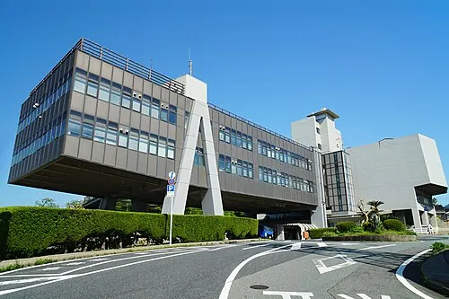 Gōtsuchō City, Gōtsu Shi2.9 km S
-
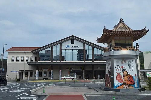 Hamada City, Hamada Shi21 km SW
-
Yunotsuchō-kohama Village, Ōda Shi13 km NE
-
Kawamoto Village, Ōchi Gun26 km E
-
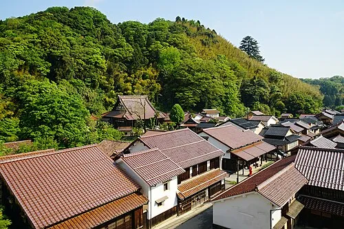 Ōdachō-ōda Town, Ōda Shi32 km NE
-
Ōnan Chō Municipality, Ōchi Gun31 km SE
More lakes, rivers and coasts in Japan
-
Eno-kawa River, Shimane1.3 km SE
-
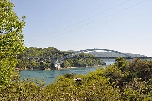 Ōmi Shima Island, Imabari114 km SE
-
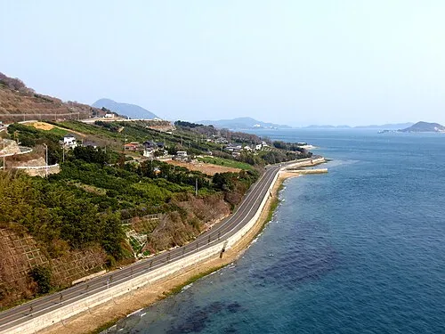 Ikuchi Jima Island, Hiroshima116 km SE
-
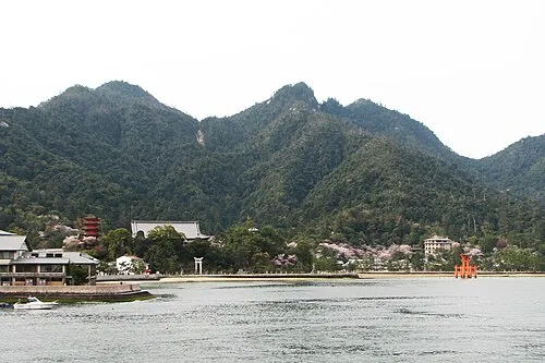 Itsuku Shima Island, Hiroshima85 km S
-
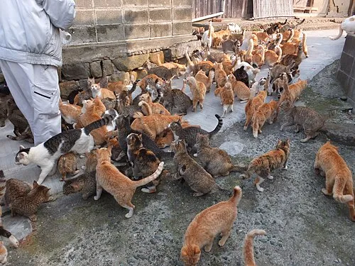 Ao Island Island, Japan146 km S
-
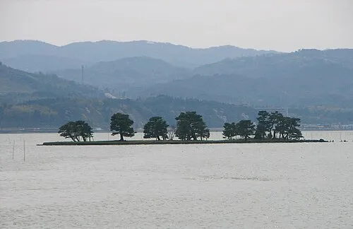 Shinji Ko Lake, Shimane81 km NE
Sources & licences
Data last updated: · 2 independent sources