Iwamizawa
Local name: 岩見沢市
Located in Iwamizawa Shi, Hokkaido Coordinates: 43°12′01″ N 141°45′35″ E
- Population
- 85,107
- 85.1K
- Elevation
- 17 m
- above sea level
- Local time
- UTC+09:00
- Asia/Tokyo · UTC+09:00
- Airports
- OKD Sapporo Okadama Airport32 km
- CTS New Chitose Airport48 km
About Iwamizawa
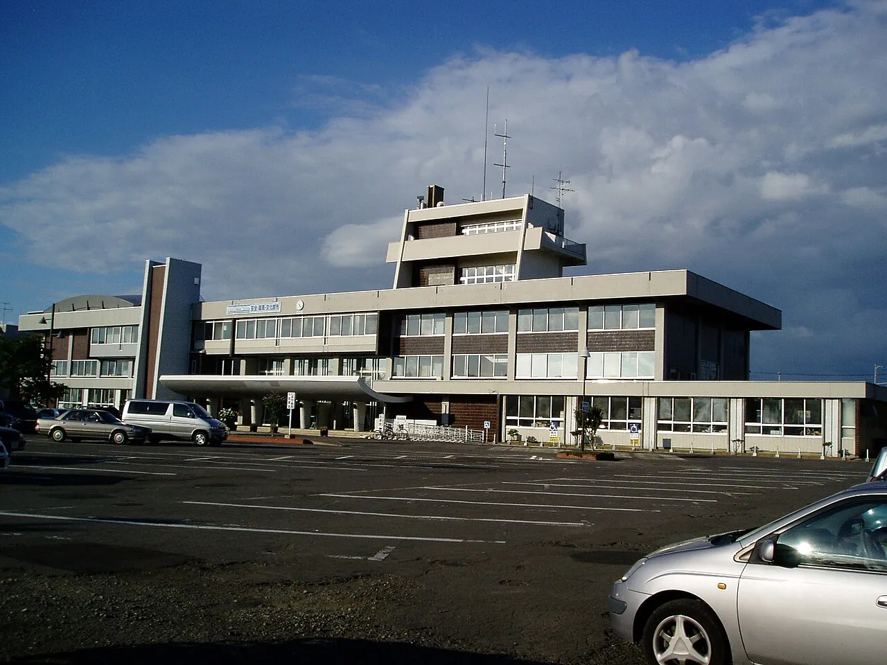
Iwamizawa is a city. Location: Iwamizawa Shi, Hokkaido. Population: 85,107. Elevation: 17 m.
Iwamizawa (岩見沢市, Iwamizawa-shi; Japanese pronunciation: [ì.β̞ä́.mʲí.(d͡)zä̀.β̞ä̀, -(d͡)zä́.β̞ä́.ɕì]) is a city in Sorachi Subprefecture, Hokkaido, Japan. It is the capital of Sorachi Subprefecture. As of July 31, 2023, the city had an estimated population of 75,949 and the density of 158 persons per km2. The total area is 481.02 km2 (186 sq mi). On March 27, 2006, the town of Kurisawa, and the village of Kita (both from Sorachi District, Sorachi Subprefecture) merged into Iwamizawa.
Source: Wikipedia · CC BY-SA 4.0
Photos of Iwamizawa
-

林美友 · CC BY-SA 4.0 -

林美友 · CC BY-SA 4.0 -

heriheri · CC BY 3.0 -

SelEle-MS · CC BY-SA 3.0 -

SelEle-MS · CC BY-SA 3.0


Travel notes for Iwamizawa
From Wikivoyage
Iwamizawa (岩見沢) is a city in Hokkaido's Central Circuit. Capital city of Sorachi Subprefecture.
Understand+
Tourist information site:
The local tourist association has a multilingual guide site.
Get in+
Iwamizawa is located on the Hakodate main train line between Asahikawa and Sapporo. It also forms one end of the Muroran train line heading down to the coast at Tomakomai. Both regular and express trains connect Sapporo and Iwamizawa. You can just buy a regular train ticket and if you end up boarding an express, the conductor will sell you an express surcharge ticket separately.
Source: Wikivoyage · CC BY-SA 4.0 · abridged
Places bordering Iwamizawa
- Ebetsu
- Mikasa
- Bibai
- Yūbari
- Kuriyama
- Naganuma
- Tsukigata
- Nanporo Chō
- Shinshinotsu Mura
Twin towns and sister cities of Iwamizawa
- Pocatello· United States
- Canby· United States
Source: Wikidata. Only places with a page on this site are shown.
Population of Iwamizawa over time
| 2010 | 90,145 | |
|---|---|---|
| 2015 | 84,499 | |
| 2020 | 79,361 |
Censuses and official estimates; source: Wikidata.
Climate of Iwamizawa
Best months for sightseeingBest months for sightseeing: June–September.
This month · November
A wet month
Day 7° · Night -1° · Rain 116 mm
- Hottest month
- August (day 25°)
- Coldest month
- January (night -11°)
- Wettest month
- August (151 mm)
- Driest month
- March (58 mm)
Bars: average monthly low and high temperature. Below: precipitation. Monthly averages for 1970–2000 at about 18 km resolution, adjusted for elevation. Highlighted months are mild and relatively dry. Source: WorldClim 2.1 (CC BY 4.0).
Show values as a table
| Month | Jan | Feb | Mar | Apr | May | Jun | Jul | Aug | Sep | Oct | Nov | Dec |
|---|---|---|---|---|---|---|---|---|---|---|---|---|
| Average high (°C) | -3° | -2° | 3° | 10° | 17° | 20° | 24° | 25° | 22° | 15° | 7° | 1° |
| Average low (°C) | -11° | -10° | -6° | 1° | 7° | 11° | 16° | 17° | 12° | 5° | -1° | -7° |
| Precipitation (mm) | 100 | 76 | 58 | 63 | 69 | 73 | 100 | 151 | 135 | 113 | 116 | 120 |
Other places to visit in this season: June July August September
How to get to Iwamizawa
The nearest airport is Sapporo Okadama Airport (OKD), 32 km to the west as the crow flies. For international flights: New Chitose Airport (CTS) (48 km). The nearest large city is Ebetsu, 20 km to the southwest.
Airports
- Sapporo Okadama Airport (OKD) Sapporo 32 kmwest
- New Chitose Airport (CTS) Sapporo 48 kmsouth
- Asahikawa Airport (AKJ) Higashikagura 76 kmnortheast
Nearby large cities
- Ebetsu Population: 134K 20 kmsouthwest
- Sapporo Population: 2M 36 kmsouthwest
- Otaru Population: 115.3K 62 kmwest
- Tomakomai Population: 174.8K 64 kmsouth
- Asahikawa Population: 333.5K 80 kmnortheast
Straight-line distances; road distances are longer. Airport data: OurAirports.
Day trips from Iwamizawa
Within 100 km: 3 historic and cultural sites, 31 natural sites, 11 lakes, rivers and coasts.
0–25 km3 places
- Yūbari River River 17 kmSW
- Toyohira River River 21 kmW
- Chitose River River 25 kmSW
25–60 km10 places
- Zenibako River River 49 kmW
- Mount Monbetsu Mountain 55 kmSW
- Mount Ashibetsu Mountain 43 kmE
- Mount Shokanbetsu Mountain 60 kmN
60–100 km32 places
- Hokkaido Island 99 kmE
- Kuttara-ko Lake 91 kmSW
- Saru River River 80 kmS
- Mount Tomamu Mountain 70 kmE
Straight-line distances.
Iwamizawa and similar cities
Side by side with cities of similar size in the same country: population, elevation and climate.
| Measure | Iwamizawa | Sekimachi | Komae | Moriyama |
|---|---|---|---|---|
| Population | 85.1K | 85.3K | 84.8K | 85.5K |
| Elevation | 17 m | 51 m | 28 m | 92 m |
| Summer day (hottest month) | 25° | 31° | 31° | 31° |
| Winter night (coldest month) | -11° | -1° | 0° | 0° |
| Annual rainfall | 1,174 mm | 2,087 mm | 1,545 mm | 1,634 mm |
| Best months | Jun–Sep | May–Jun, Oct | May–Jun, Oct | May–Jun, Sep–Oct |
| Distance | — | 953 km | 861 km | 1,031 km |
Climate values are 1970–2000 monthly averages; straight-line distance.
Nearby attractions & nature
Everything nearby-
 Toyohira River River, Japan21 km W
-
Yūbari River River, Japan17 km SW
-
 Chitose River River, Japan25 km SW
Sources & licences
Data last updated: · 2 independent sources