
- Elevation
- 635 m
- above sea level
- Local time
- UTC+09:00
- Asia/Tokyo · UTC+09:00
- Airports
- OIR Okushiri Airport62 km
- HKD Hakodate Airport125 km
About Matsumae Ōshima
Matsumae Ōshima is an island. Location: Hokkaido, Japan.
Ōshima (大島; lit. Big Island) is an uninhabited island in the Sea of Japan, 50 kilometers (31 mi) west of Matsumae town and therefore the westernmost point of Hokkaido. It is part of the town of Matsumae in Oshima Subprefecture in Hokkaido, Japan. To distinguish Ōshima from other islands with the same name, it is sometimes known as Oshima Ōshima (渡島大島) or Matsumae Ōshima (松前大島). At 9.73 square kilometers (3.76 sq mi), Ōshima is the largest uninhabited island under Japanese sovereignty.
Source: Wikipedia · CC BY-SA 4.0
At a glance
- Length
- 4 km
- Area
- 9.7 km²
Source: Wikidata
Climate of Matsumae Ōshima
Best months for sightseeingBest months for sightseeing: July–September.
This month · November
A wet month
Day 6° · Night 1° · Rain 121 mm
- Hottest month
- August (day 21°)
- Coldest month
- January (night -6°)
- Wettest month
- September (170 mm)
- Driest month
- March (82 mm)
Bars: average monthly low and high temperature. Below: precipitation. Monthly averages for 1970–2000 at about 18 km resolution, adjusted for elevation. Highlighted months are mild and relatively dry. Source: WorldClim 2.1 (CC BY 4.0).
Show values as a table
| Month | Jan | Feb | Mar | Apr | May | Jun | Jul | Aug | Sep | Oct | Nov | Dec |
|---|---|---|---|---|---|---|---|---|---|---|---|---|
| Average high (°C) | -3° | -3° | 1° | 7° | 12° | 16° | 19° | 21° | 18° | 13° | 6° | 0° |
| Average low (°C) | -6° | -5° | -3° | 2° | 6° | 11° | 15° | 17° | 14° | 8° | 1° | -3° |
| Precipitation (mm) | 107 | 84 | 82 | 93 | 101 | 104 | 155 | 153 | 170 | 120 | 121 | 114 |
How to get to Matsumae Ōshima
The nearest airport is Okushiri Airport (OIR), 62 km to the north as the crow flies. For international flights: Hakodate Airport (HKD) (125 km). The nearest large city is Hakodate, 118 km to the east.
Airports
- Okushiri Airport (OIR) Okushiri Island 62 kmnorth
- Hakodate Airport (HKD) Hakodate 125 kmeast
- Aomori Airport (AOJ) Aomori 141 kmsoutheast
Nearby large cities
- Hakodate Population: 275.7K 118 kmeast
- Hirosaki Population: 168.7K 138 kmsoutheast
- Aomori Population: 298.4K 139 kmsoutheast
- Akita Population: 307.7K 209 kmsouth
- Hachinohe Population: 239K 212 kmsoutheast
Straight-line distances; road distances are longer. Airport data: OurAirports.
More lakes, rivers and coasts in Japan
-
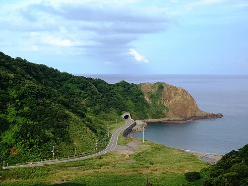 Okushiri Island Island, Okushiri Chō72 km N
-
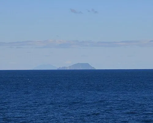 Kojima Island Island, Hokkaido41 km SE
-
Amanogawa River River, Hokkaido70 km NE
-
Tokoro River River, Hokkaido136 km NE
Sources & licences
Data last updated: · 2 independent sources