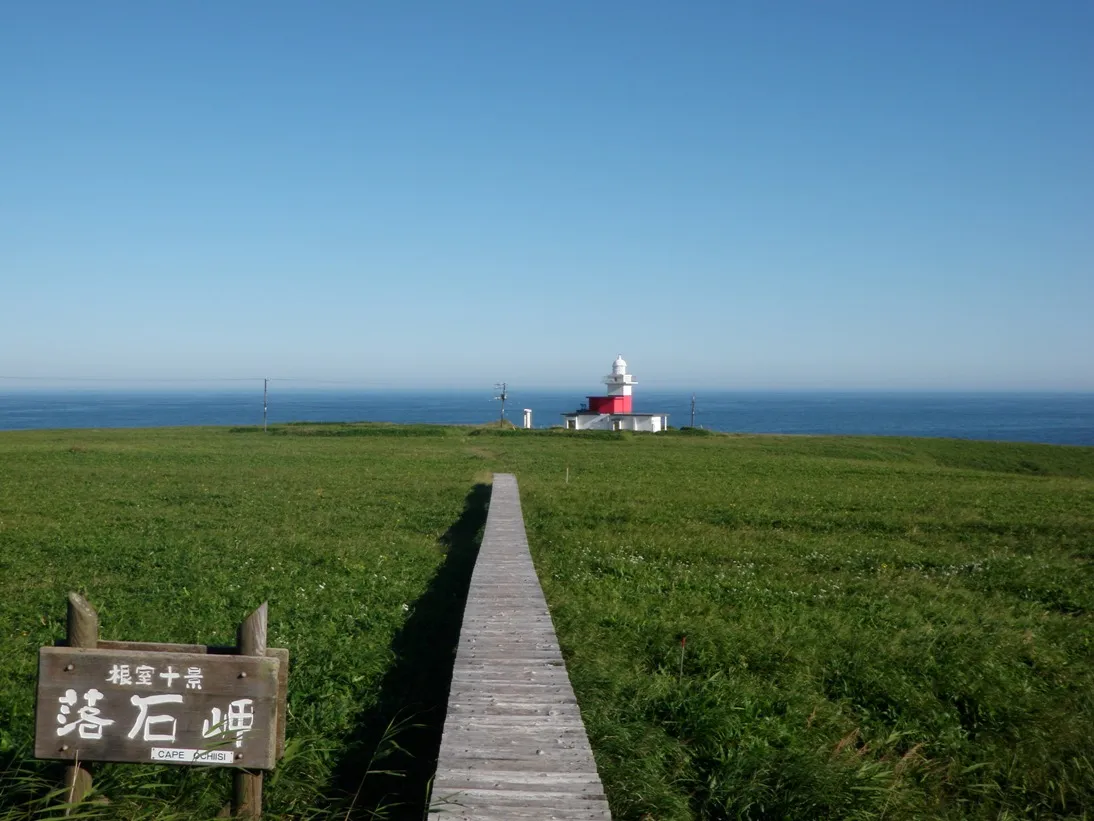
- Population
- 31,223
- 31.2K
- Elevation
- 24 m
- above sea level
- Local time
- UTC+09:00
- Asia/Tokyo · UTC+09:00
- Airports
- SHB Nakashibetsu Airport57 km
- KUH Kushiro Airport117 km
About Nemuro
Nemuro is a city. Location: Nemuro-shi, Hokkaido. Population: 31,223. Elevation: 24 m. The best months to visit are July–September. The nearest airport is Nakashibetsu Airport (57 km). Nearby sights include Benten-jima and Nemuro Hantō.
Photos of Nemuro
-

Animataru · CC BY-SA 4.0 -

Animataru · CC BY-SA 4.0 -

RJD · CC BY 3.0 -

Mister0124 · CC BY-SA 4.0 -

松岡博文 · CC BY 3.0


Travel notes for Nemuro
From Wikivoyage
Nemuro (根室市 Nemuro-shi) is a city in Hokkaido, and the easternmost city in Japan. It is famous for its seafood, dairy industry, bird-watching, and wild nature preserves.
Understand+
The local tourist association has a multilingual guide site (including Russian!).
Get in+
By train:
1 Nemuro Station (根室駅). (updated Sep 2025) is the terminus of the Nemuro Main Line and the easternmost railway station in Japan. Service is sparse: There are only 5 trains daily from Kushiro and, apart from the once daily rapid Hanasaki (2h), all are local services (2h 30min). Do note that Higashi-Nemuro Station, the former easternmost station in Japan, was closed in March 2025.
By plane:
Nakashibetsu Airport (SHB IATA) has shuttle service from Sapporo (Chitose) and Tokyo (Haneda). Kushiro Airport also has flights from Sapporo and Tokyo, and with more flights, it may be more convenient.
Source: Wikivoyage · CC BY-SA 4.0 · abridged
Climate of Nemuro
Best months for sightseeingBest months for sightseeing: July–September.
This month · November
A cold month
Day 8° · Night 2° · Rain 99 mm
- Hottest month
- August (day 20°)
- Coldest month
- February (night -7°)
- Wettest month
- September (162 mm)
- Driest month
- February (41 mm)
Bars: average monthly low and high temperature. Below: precipitation. Monthly averages for 1970–2000 at about 18 km resolution, adjusted for elevation. Highlighted months are mild and relatively dry. Source: WorldClim 2.1 (CC BY 4.0).
Show values as a table
| Month | Jan | Feb | Mar | Apr | May | Jun | Jul | Aug | Sep | Oct | Nov | Dec |
|---|---|---|---|---|---|---|---|---|---|---|---|---|
| Average high (°C) | -1° | -1° | 1° | 6° | 11° | 13° | 17° | 20° | 18° | 14° | 8° | 3° |
| Average low (°C) | -7° | -7° | -5° | 0° | 4° | 8° | 12° | 15° | 13° | 8° | 2° | -3° |
| Precipitation (mm) | 60 | 41 | 61 | 79 | 103 | 88 | 100 | 117 | 162 | 124 | 99 | 65 |
How to get to Nemuro
The nearest airport is Nakashibetsu Airport (SHB), 57 km to the northwest as the crow flies. The nearest large city is Kushiro, 105 km to the west.
Airports
- Nakashibetsu Airport (SHB) Nakashibetsu 57 kmnorthwest
- Kushiro Airport (KUH) Kushiro 117 kmwest
- Memanbetsu Airport (MMB) Ōzora 130 kmnorthwest
Nearby large cities
- Kushiro Population: 167.9K 105 kmwest
- Kitami Population: 119.1K 146 kmwest
- Obihiro Population: 166.5K 198 kmwest
- Asahikawa Population: 333.5K 264 kmwest
- Ebetsu Population: 134K 328 kmwest
Straight-line distances; road distances are longer. Airport data: OurAirports.
Day trips from Nemuro
Within 100 km: 21 natural sites, 7 lakes, rivers and coasts.
0–25 km3 places
- Benten-jima Island 2 kmN
- Nemuro Hantō Natural site 8 kmNE
- Nemuro-wan Natural site 10 kmW
25–60 km2 places
- Shibetsu River River 53 kmNW
- Kenbokke Tō Island 49 kmSW
60–100 km23 places
- Setsuri Gawa River 99 kmW
- Daikoku Island Island 70 kmSW
- Kamuinupuri Mountain 87 kmW
- Shibetsu Dake Mountain 80 kmNW
Straight-line distances.
Nearby attractions & nature
Everything nearby-
Benten-jima Island, Japan2 km N
-
 Nemuro Hantō Natural site, Hokkaido7.5 km NE
-
Nemuro-wan Natural site, Hokkaido10 km W
Sources & licences
Data last updated: