- Elevation
- 36 m
- above sea level
- Local time
- UTC+09:00
- Asia/Tokyo · UTC+09:00
- Airports
- SHB Nakashibetsu Airport62 km
- KUH Kushiro Airport124 km
About Nemuro Hantō
Nemuro Hantō is a natural site. Location: Hokkaido, Japan.
The Nemuro Peninsula (根室半島 Nemuro-hantō) is a peninsula which extends from the east coast of Hokkaidō, Japan. It is some 30 kilometres (19 mi) long and 8 kilometres (5.0 mi) wide, and forms part of Nemuro City. Cape Nosappu at its tip is the easternmost point of Hokkaidō. The northern coastline is on Nemuro Bay, while the south faces the Pacific Ocean. Islands of the Habomai (Khabomai) Archipelago, administered by Russia but claimed by Japan, extend eastward from the peninsula.
Source: Wikipedia · CC BY-SA 4.0
Climate of Nemuro Hantō
Best months for sightseeingBest months for sightseeing: July–September.
This month · November
A wet month
Day 8° · Night 2° · Rain 100 mm
- Hottest month
- August (day 20°)
- Coldest month
- February (night -8°)
- Wettest month
- September (160 mm)
- Driest month
- February (43 mm)
Bars: average monthly low and high temperature. Below: precipitation. Monthly averages for 1970–2000 at about 18 km resolution, adjusted for elevation. Highlighted months are mild and relatively dry. Source: WorldClim 2.1 (CC BY 4.0).
Show values as a table
| Month | Jan | Feb | Mar | Apr | May | Jun | Jul | Aug | Sep | Oct | Nov | Dec |
|---|---|---|---|---|---|---|---|---|---|---|---|---|
| Average high (°C) | -1° | -2° | 1° | 6° | 11° | 13° | 17° | 20° | 18° | 14° | 8° | 2° |
| Average low (°C) | -8° | -8° | -5° | 0° | 4° | 7° | 11° | 14° | 13° | 8° | 2° | -4° |
| Precipitation (mm) | 64 | 43 | 62 | 80 | 102 | 85 | 98 | 116 | 160 | 123 | 100 | 68 |
How to get to Nemuro Hantō
The nearest airport is Nakashibetsu Airport (SHB), 62 km to the northwest as the crow flies. The nearest large city is Kushiro, 113 km to the west.
Airports
- Nakashibetsu Airport (SHB) Nakashibetsu 62 kmnorthwest
- Kushiro Airport (KUH) Kushiro 124 kmwest
- Memanbetsu Airport (MMB) Ōzora 134 kmnorthwest
Nearby large cities
- Kushiro Population: 167.9K 113 kmwest
- Kitami Population: 119.1K 152 kmwest
- Obihiro Population: 166.5K 206 kmwest
- Asahikawa Population: 333.5K 270 kmwest
- Ebetsu Population: 134K 335 kmwest
Straight-line distances; road distances are longer. Airport data: OurAirports.
Nearest towns and villages
-
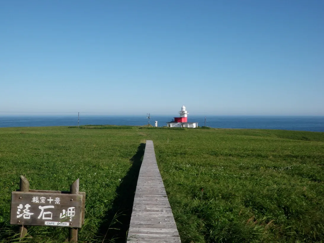 Nemuro City, Nemuro-shi7.5 km SW
-
bekkai Village, Betsukai Chō44 km W
-
Betsukai Chō Municipality, Notsuke-gun52 km W
-
Shibetsu Town, Shibetsu Chō55 km NW
-
Hamanaka Chō Municipality, Akkeshi-gun51 km SW
-
Nakashibetsu Town, Nakashibetsu Chō60 km W
Nearby attractions & nature
Everything nearby-
Benten-jima Island, Japan6.9 km W
-
 Nemuro-wan Natural site, Hokkaido17 km W
More nature in Japan
-
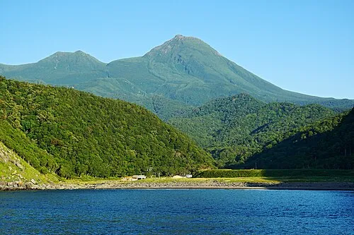 Rausu Dake Mountain, Rausu Chō91 km NW
-
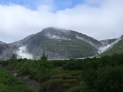 Mount Iō Mountain, Teshikaga Chō103 km W
-
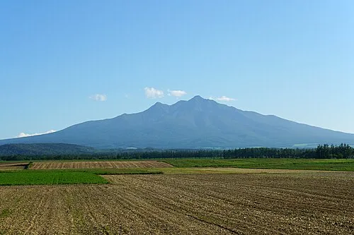 Shari Dake Mountain, Shari Chō89 km NW
-
 Mount Samakke Nupuri Mountain, Nakashibetsu Chō84 km NW
-
Mount Sashirui Mountain, Rausu Chō93 km NW
-
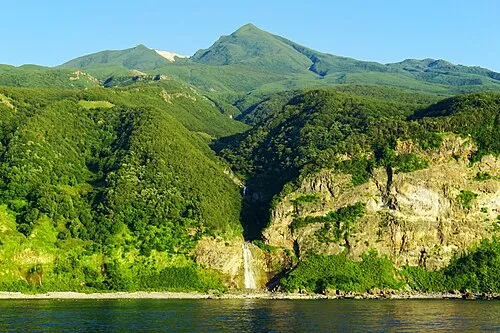 Mount Iō Mountain, Shari Chō96 km NW
Sources & licences
Data last updated: · 2 independent sources