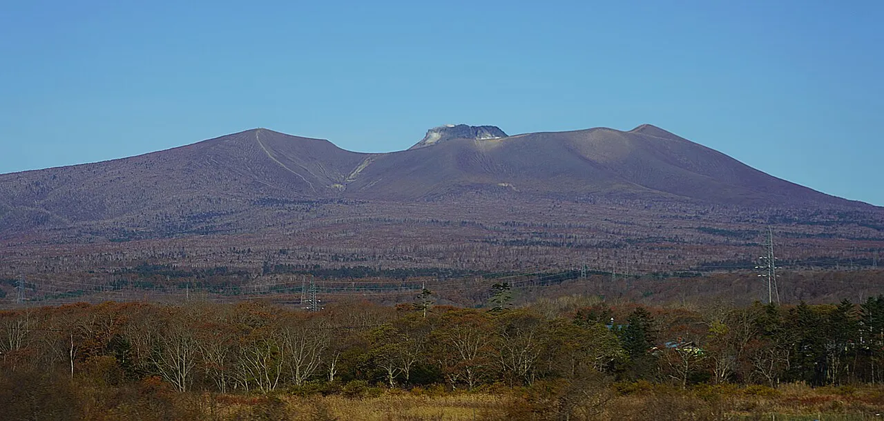
- Elevation
- 1,041 m
- above sea level
- Local time
- UTC+09:00
- Asia/Tokyo · UTC+09:00
- Airports
- CTS New Chitose Airport27 km
- OKD Sapporo Okadama Airport48 km
About Mount Tarumae
Mount Tarumae is a mountain. Location: Tomakomai Shi, Hokkaido. Elevation: 1,041 m.
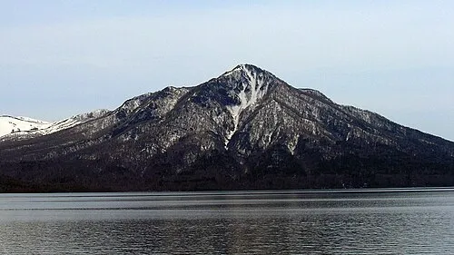
Mount Tarumae (樽前山, Tarumae-zan) is located in the Shikotsu-Toya National Park in Hokkaidō, Japan. It is located near both Tomakomai and Chitose towns and can be seen clearly from both. It is on the shores of Lake Shikotsu, a caldera lake. Tarumae is a 1,041 metre active andesitic stratovolcano, with a lava dome.
Source: Wikipedia · CC BY-SA 4.0
Photos of Mount Tarumae
-

Planet Labs, Inc · CC BY-SA 4.0 -

Andrey Grushnikov · CC BY 2.0 -

Koda6029 · CC BY-SA 4.0 -

Koda6029 · CC BY-SA 4.0 -

Susan Spann · CC BY-SA 4.0


Climate of Mount Tarumae
This month · November
A wet month
Day 2° · Night -6° · Rain 109 mm
- Hottest month
- August (day 18°)
- Coldest month
- January (night -15°)
- Wettest month
- August (180 mm)
- Driest month
- February (66 mm)
Bars: average monthly low and high temperature. Below: precipitation. Monthly averages for 1970–2000 at about 18 km resolution, adjusted for elevation. Highlighted months are mild and relatively dry. Source: WorldClim 2.1 (CC BY 4.0).
Show values as a table
| Month | Jan | Feb | Mar | Apr | May | Jun | Jul | Aug | Sep | Oct | Nov | Dec |
|---|---|---|---|---|---|---|---|---|---|---|---|---|
| Average high (°C) | -7° | -6° | -3° | 3° | 8° | 12° | 16° | 18° | 14° | 9° | 2° | -4° |
| Average low (°C) | -15° | -15° | -11° | -5° | 0° | 5° | 10° | 11° | 7° | 0° | -6° | -11° |
| Precipitation (mm) | 80 | 66 | 69 | 80 | 92 | 91 | 132 | 180 | 161 | 118 | 109 | 89 |
How to get to Mount Tarumae
The nearest airport is New Chitose Airport (CTS), 27 km to the east as the crow flies. The nearest large city is Tomakomai, 19 km to the east.
Airports
- New Chitose Airport (CTS) Sapporo 27 kmeast
- Sapporo Okadama Airport (OKD) Sapporo 48 kmnorth
- Hakodate Airport (HKD) Hakodate 112 kmsouthwest
Nearby large cities
- Tomakomai Population: 174.8K 19 kmeast
- Sapporo Population: 2M 43 kmnorth
- Ebetsu Population: 134K 49 kmnorth
- Otaru Population: 115.3K 64 kmnorthwest
- Hakodate Population: 275.7K 114 kmsouthwest
Straight-line distances; road distances are longer. Airport data: OurAirports.
Day trips from Mount Tarumae
Within 100 km: 2 historic and cultural sites, 17 natural sites, 13 lakes, rivers and coasts.
0–25 km4 places
- Mount Fuppushi Mountain 4 kmN
- Mount Morappu Mountain 8 kmN
- Mount Monbetsu Mountain 11 kmN
- Mount Eniwa Mountain 14 kmNW
25–60 km13 places
- Kuttara-ko Lake 26 kmSW
- Saru River River 55 kmE
- Yūbari River River 51 kmN
- Toyohira River River 51 kmN
60–100 km15 places
- Tokoro River River 86 kmSW
- Mount E Mountain 99 kmS
- Niikappu River River 84 kmSE
- Nukabira Yama Mountain 93 kmE
Straight-line distances.
Nearest towns and villages
-
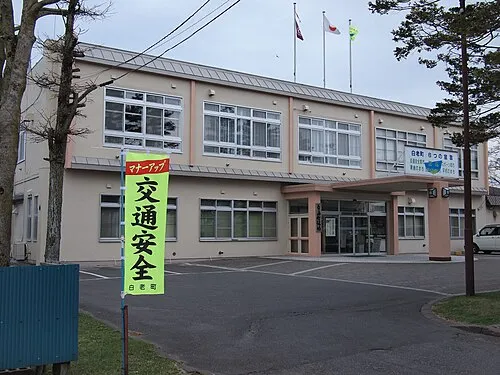 Shiraoi Town, Shiraoi Chō15 km S
-
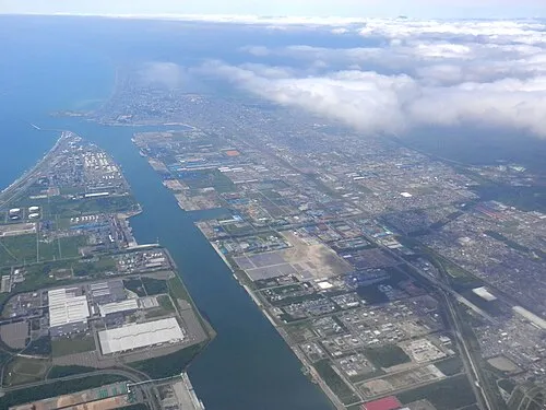 Tomakomai City, Tomakomai Shi19 km E
-
Shiraoi Chō Municipality, Shiraoi-gun16 km SW
-
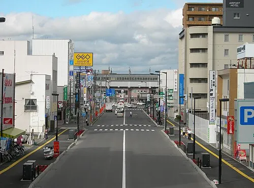 Chitose City, Chitose Shi27 km NE
-
Kiyota Ku Municipality, Sapporo-shi31 km N
-
 Noboribetsu City, Noboribetsu Shi31 km SW
Nearby attractions & nature
Everything nearby-
 Mount Fuppushi Mountain, Chitose Shi3.9 km N
-
Mount Morappu Mountain, Chitose Shi7.5 km N
-
Mount Monbetsu Mountain, Chitose Shi11 km N
-
 Mount Eniwa Mountain, Chitose Shi14 km NW
Sources & licences
Data last updated: · 2 independent sources