- Local time
- UTC+09:00
- Asia/Tokyo · UTC+09:00
- Airports
- KMQ Komatsu Airport / JASDF Komatsu Air Base12 km
- TOY Toyama Kitokito Airport66 km
About Tedori River
Tedori River is a river. Location: Ishikawa, Japan.
The Tedori River (手取川, Tedorigawa) is a Class A river in southern Ishikawa Prefecture in the Hokuriku region of Japan. The river originates on Hakusan, the highest peak in the Hakusan National Park on the border between Ishikawa and Gifu Prefecture, and flows in a generally northern direction to the Sea of Japan. The river is used extensively for irrigation, and for the generation of hydroelectric power. The Battle of Tedorigawa was fought on the banks of the river in 1577.
Read more on Wikipedia Text: Wikipedia contributors · CC BY-SA 4.0 · shortened
At a glance
- Length
- 72 km
Source: Wikidata
Climate of Tedori River
Best months for sightseeingBest months for sightseeing: May–June, September–October.
Bars: average monthly low and high temperature. Below: precipitation. Monthly averages for 1970–2000 at about 18 km resolution, adjusted for elevation. Highlighted months are mild and relatively dry. Source: WorldClim 2.1 (CC BY 4.0).
Show values as a table
| Month | Jan | Feb | Mar | Apr | May | Jun | Jul | Aug | Sep | Oct | Nov | Dec |
|---|---|---|---|---|---|---|---|---|---|---|---|---|
| Average high (°C) | 6° | 7° | 10° | 17° | 21° | 24° | 28° | 30° | 26° | 21° | 15° | 10° |
| Average low (°C) | 0° | 0° | 2° | 8° | 13° | 17° | 22° | 23° | 18° | 12° | 7° | 3° |
| Precipitation (mm) | 216 | 153 | 141 | 140 | 148 | 197 | 212 | 141 | 234 | 157 | 187 | 215 |
Other places to visit in this season: May June September October
Airports nearest to Tedori River
- Komatsu Airport / JASDF Komatsu Air Base (KMQ) Kanazawa 12 km
- Toyama Kitokito Airport (TOY) Toyama 66 km
- Noto Satoyama Airport (NTQ) Wajima 99 km
Straight-line distance; airports with scheduled flights only. Source: OurAirports (public domain).
Nearest towns and villages
Nearby attractions & nature
Everything nearby-
Kakehashi River River, Japan8.8 km S
-
Asano River River, Ishikawa22 km NE
-
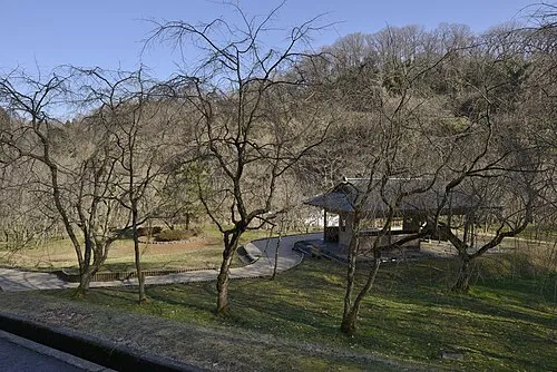 Mount Utatsu Mountain, Kanazawa20 km NE
More lakes, rivers and coasts in Japan
-
 Noto Jima Island, Ishikawa84 km NE
-
 Mitsuke Jima Island, Ishikawa122 km NE
Sources & licences
Data last updated: · 2 independent sources