Mitsuke Jima
Local name: 見附島
Located in Ishikawa, Japan Coordinates: 37°23′47″ N 137°14′50″ E

- Elevation
- 1 m
- above sea level
- Local time
- UTC+09:00
- Asia/Tokyo · UTC+09:00
- Airports
- NTQ Noto Satoyama Airport28 km
- TOY Toyama Kitokito Airport83 km
About Mitsuke Jima
Mitsuke Jima is an island. Location: Ishikawa, Japan.
Mitsukejima (Japanese: 見附島) is an uninhabited island in Takadate-cho, Suzu, Ishikawa, Japan. Due to its shape, it is also known as Gunkanjima (軍艦島; Battleship Island), which is also the common name given to Hashima Island in Nagasaki Prefecture. According to folklore, the island was given the name "Mitsukejima" by the Buddhist monk, scholar, and artist Kūkai, who was the first to discover the island while travelling from Sado Island.
Read more on Wikipedia Text: Wikipedia contributors · CC BY-SA 4.0 · shortened
At a glance
- Length
- 0.2 km
- Area
- 0.1 ha
Source: Wikidata
Climate of Mitsuke Jima
Best months for sightseeingBest months for sightseeing: May–June, September.
Bars: average monthly low and high temperature. Below: precipitation. Monthly averages for 1970–2000 at about 18 km resolution, adjusted for elevation. Highlighted months are mild and relatively dry. Source: WorldClim 2.1 (CC BY 4.0).
Show values as a table
| Month | Jan | Feb | Mar | Apr | May | Jun | Jul | Aug | Sep | Oct | Nov | Dec |
|---|---|---|---|---|---|---|---|---|---|---|---|---|
| Average high (°C) | 5° | 5° | 9° | 15° | 20° | 23° | 27° | 29° | 25° | 20° | 14° | 8° |
| Average low (°C) | 0° | -1° | 2° | 7° | 11° | 16° | 21° | 22° | 18° | 12° | 6° | 2° |
| Precipitation (mm) | 239 | 162 | 131 | 111 | 119 | 156 | 190 | 163 | 233 | 170 | 231 | 264 |
Airports nearest to Mitsuke Jima
- Noto Satoyama Airport (NTQ) Wajima 28 km
- Toyama Kitokito Airport (TOY) Toyama 83 km
- Sado Airport (SDS) Sado 127 km
Straight-line distance; airports with scheduled flights only. Source: OurAirports (public domain).
Nearest towns and villages
-
Ushitsu Town, Noto Chō13 km SW
-
Noto Chō Municipality, Hōsu Gun15 km SW
-
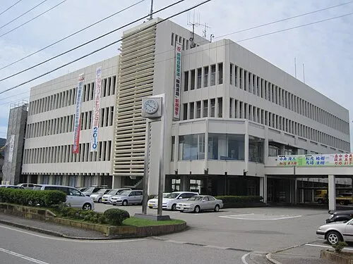 Wajima City, Wajima Shi31 km W
-
Anamizu Machi Municipality, Hōsu Gun33 km SW
-
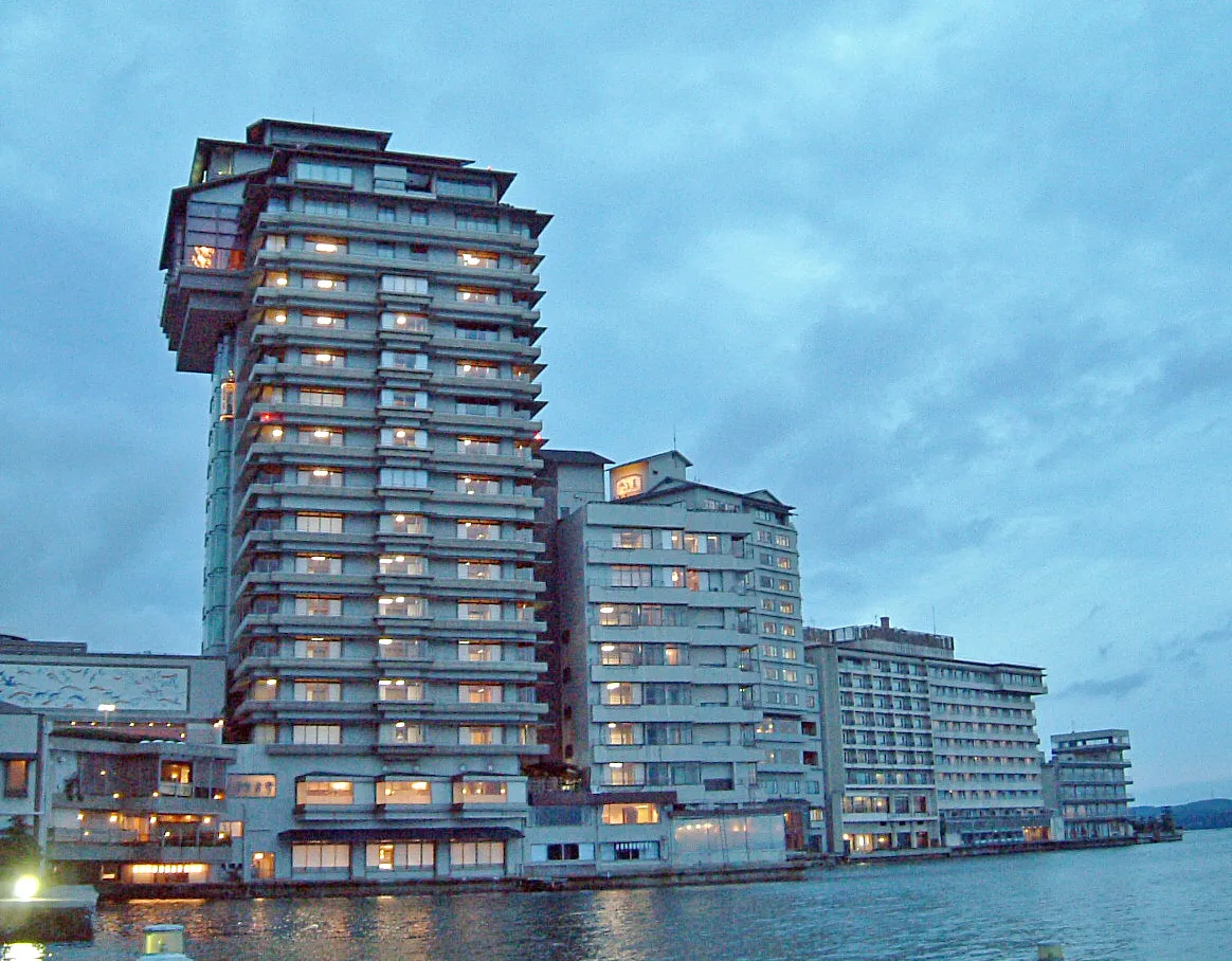 Nanao City, Nanao Shi46 km SW
-
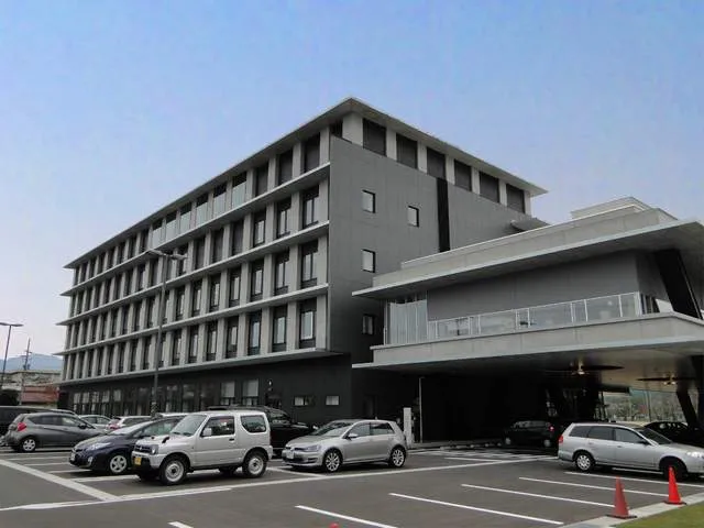 Kurobe-shi City, Kurobe Shi58 km S
More lakes, rivers and coasts in Japan
-
 Noto Jima Island, Ishikawa38 km SW
-
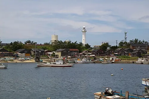 Hegura Jima Island, Ishikawa58 km NW
-
Asano River River, Ishikawa100 km SW
-
Tedori River River, Ishikawa122 km SW
Sources & licences
Data last updated: · 2 independent sources