Hachimantai
Local name: 八幡平市
Located in Hachimantai Shi, Iwate Coordinates: 39°53′59″ N 141°07′48″ E
- Population
- 25,076
- 25.1K
- Elevation
- 228 m
- above sea level
- Local time
- UTC+09:00
- Asia/Tokyo · UTC+09:00
- Airports
- HNA Iwate Hanamaki Airport52 km
- ONJ Odate Noshiro Airport72 km
About Hachimantai
Hachimantai is a city. Location: Hachimantai Shi, Iwate. Population: 25,076. Elevation: 228 m.
Hachimantai (八幡平市, Hachimantai-shi) is a city located in Iwate Prefecture, Japan. As of 1 April 2020, the city had an estimated population of 25,076, and a population density of 29 persons per km2 in 10,531 households. The total area of the city is 862.30 square kilometres (332.94 sq mi).
Source: Wikipedia · CC BY-SA 4.0
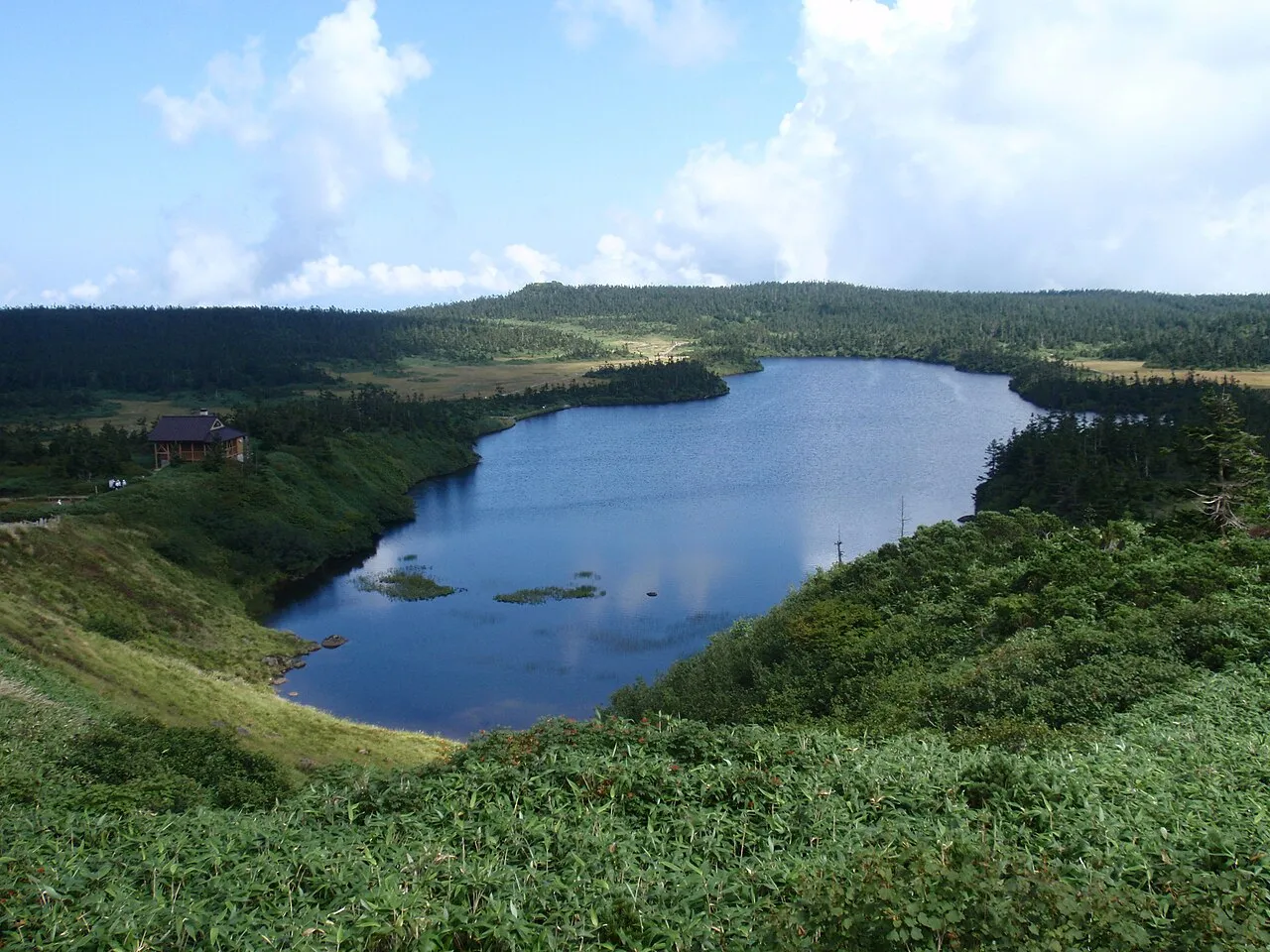
Photos of Hachimantai
-

掬茶 · CC BY-SA 4.0 -

らんで · CC BY-SA 4.0 -

らんで · CC BY 4.0 -

TANAKA Juuyoh · CC BY 2.0 -

kiwa dokokano · CC BY-SA 3.0


Travel notes for Hachimantai
From Wikivoyage
Hachimantai (八幡平市) is a city in northwestern Iwate Prefecture. The area draws visitors for skiing in winter and hiking in summer, and there are also numerous onsen hot springs, many of which accept day guests.
Understand+
Hachimantai is a large volcanic plateau straddling Iwate and Akita prefectures, all of it mountainous and thinly populated. The administrative city of Hachimantai, the product of numerous local council mergers, covers the Iwate side. This means both that many places on the Hachimantai plateau are not within city limits, and that there isn't really an obvious "city center". The closest is the stretch between Ōbuke (大更) and Nishine (西根), two of the many merged towns, but the city hall is plunked in the middle of rice paddies further west near Tairadate (平館).
Hachimantai also has many hot springs, which mostly cluster around the 1 Higashi-Hachimantai Onsenkyō (東八幡平温泉郷) area some 15 km west of the town center. Locally, the higashi (east) is often dropped, but there's another cluster of Hachimantai hot springs on the Akita side of the mountains.
Hachimantai city Sightseeing Association (八幡平市観光協会), 1-28 Kashiwadai, ☏ +81 195-78-3500.
Climate:
It snows a lot in Hachimantai: the ski resorts get around 12 meters of the white stuff in an average year. January daytime highs average -3°C, while August climbs up 28°C.
Tourist information site:
The local tourist association has a partly multilingual guide site.
Get in+
By train:
Hachimantai is served by the JR Hanawa Line between Morioka and Odate. Counterintuitively, the station for Hachimantai town is 1 Ōbuke, while Hachimantai station is the neighboring city of Kazuno. There's also a station called Matsuo-Hachimantai (松尾八幡平駅), in the middle of nowhere some 10 km north of town.
By bus:
Iwate Kenpoku Bus has roughly hourly buses from Morioka to Ōbuke and 2 Tairadate station (1 hr, ¥930), some of which continue west into the mountains through Higashi-Hachimantai Onsenkyō up to Matsukawa Onsen and, in summer only, Toshichi Onsen.
Source: Wikivoyage · CC BY-SA 4.0 · abridged
Places bordering Hachimantai
- Morioka
- Ninohe
- Takizawa-shi
- Iwate Machi
- Shizukuishi
- Ichinohe
- Hanawa
- Semboku-shi
- Takko
Twin towns and sister cities of Hachimantai
- Miyako· Japan
- Nago Shi· Japan
Source: Wikidata. Only places with a page on this site are shown.
Population of Hachimantai over time
| 2010 | 28,680 | |
|---|---|---|
| 2015 | 26,355 | |
| 2021 | 23,742 |
Censuses and official estimates; source: Wikidata.
Climate of Hachimantai
Best months for sightseeingBest months for sightseeing: May–July, September.
This month · November
A wet month
Day 10° · Night 1° · Rain 103 mm
- Hottest month
- August (day 27°)
- Coldest month
- January (night -7°)
- Wettest month
- August (173 mm)
- Driest month
- February (72 mm)
Bars: average monthly low and high temperature. Below: precipitation. Monthly averages for 1970–2000 at about 18 km resolution, adjusted for elevation. Highlighted months are mild and relatively dry. Source: WorldClim 2.1 (CC BY 4.0).
Show values as a table
| Month | Jan | Feb | Mar | Apr | May | Jun | Jul | Aug | Sep | Oct | Nov | Dec |
|---|---|---|---|---|---|---|---|---|---|---|---|---|
| Average high (°C) | 0° | 1° | 5° | 13° | 19° | 22° | 26° | 27° | 22° | 17° | 10° | 4° |
| Average low (°C) | -7° | -7° | -3° | 3° | 8° | 13° | 18° | 19° | 14° | 7° | 1° | -4° |
| Precipitation (mm) | 81 | 72 | 86 | 94 | 94 | 118 | 172 | 173 | 168 | 111 | 103 | 93 |
Other places to visit in this season: May June July September
How to get to Hachimantai
The nearest airport is Iwate Hanamaki Airport (HNA), 52 km to the south as the crow flies. The nearest large city is Morioka, 22 km to the south.
Airports
- Iwate Hanamaki Airport (HNA) Hanamaki 52 kmsouth
- Odate Noshiro Airport (ONJ) Kitaakita 72 kmnorthwest
- Akita Airport (AXT) Akita 84 kmwest
Nearby large cities
- Morioka Population: 290.7K 22 kmsouth
- Hachinohe Population: 239K 74 kmnortheast
- Ōshū Population: 112.9K 85 kmsouth
- Akita Population: 307.7K 89 kmwest
- Hirosaki Population: 168.7K 95 kmnorthwest
Straight-line distances; road distances are longer. Airport data: OurAirports.
Day trips from Hachimantai
Within 100 km: 4 historic and cultural sites, 8 natural sites, 16 lakes, rivers and coasts.
0–25 km4 places
- Iwate San Mountain 12 kmSW
- Mount Hachimantai Natural site 25 kmW
- Shizukuishi River River 24 kmS
- Mount Himekami Mountain 12 kmSE
25–60 km7 places
- Arata River River 44 kmNE
- Sarugaishi River River 56 kmS
- Kinu Gawa River 56 kmS
- Anano River River 53 kmS
60–100 km17 places
- Kuji River River 66 kmNE
- Lake Ogarawa Lake 100 kmN
- Oirase River River 83 kmN
- Mabechi River River 78 kmNE
Straight-line distances.
Nearby attractions & nature
Everything nearby-
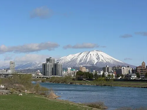 Iwate San Mountain, Iwate-gun12 km SW
-
Mount Himekami Mountain, Morioka Shi12 km SE
-
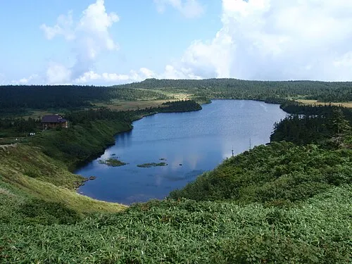 Mount Hachimantai Natural site, Japan25 km W
-
Shizukuishi River River, Iwate24 km S
Sources & licences
Data last updated: · 2 independent sources