Mount Hachimantai
Local name: 八幡平
Located in Japan Coordinates: 39°57′00″ N 140°51′00″ E
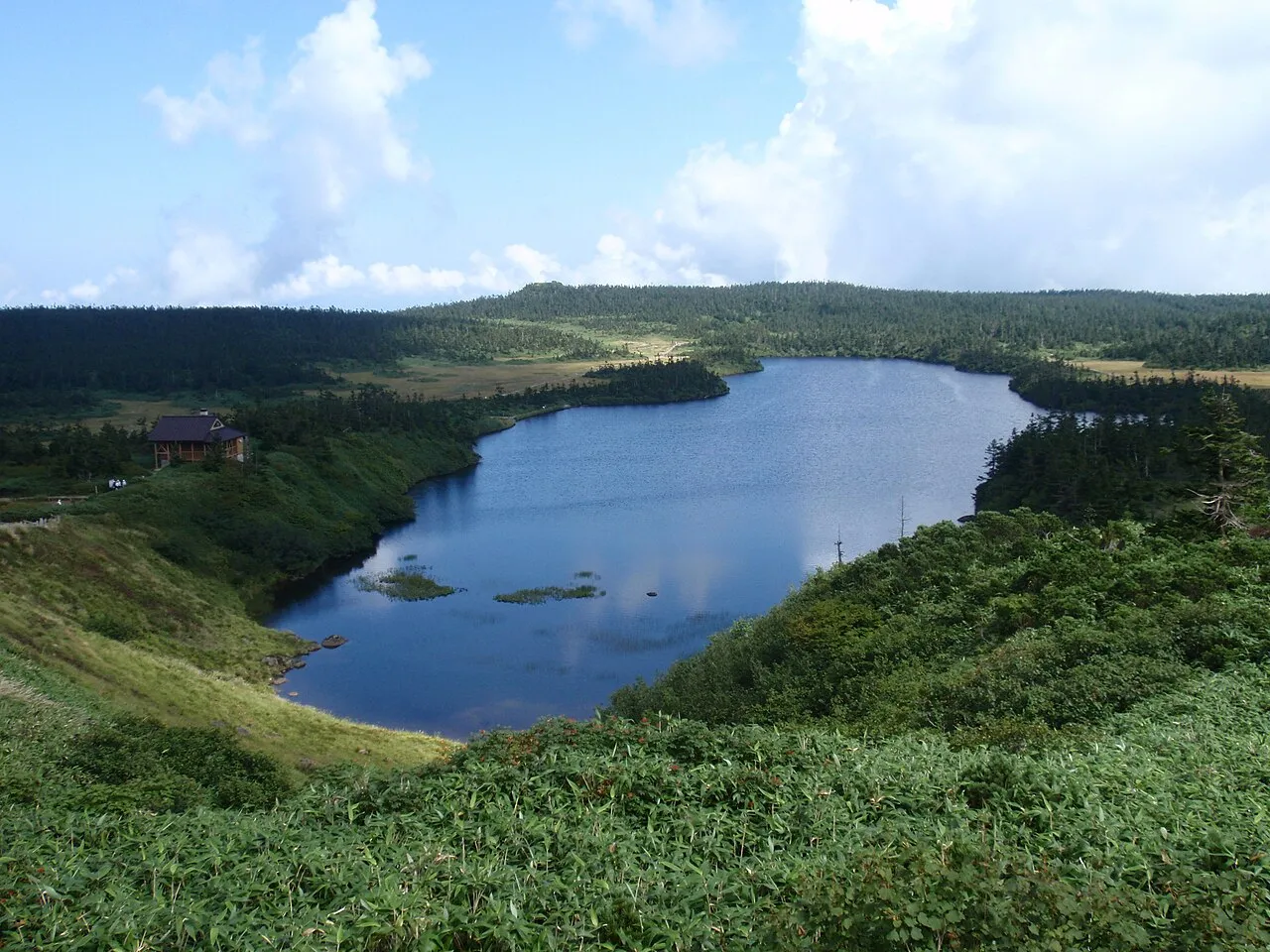
- Elevation
- 1,613 m
- above sea level
- Local time
- UTC+09:00
- Asia/Tokyo · UTC+09:00
- Airports
- ONJ Odate Noshiro Airport49 km
- HNA Iwate Hanamaki Airport63 km
About Mount Hachimantai
Mount Hachimantai is a natural site. Location: Japan.
Mount Hachimantai (八幡平, Hachimantai) is the highest peak of a group of stratovolcanos distributed around the Hachimantai plateau in the Ōu Mountains in northern Honshū, Japan. This volcanic plateau is part of the Nasu Volcanic Zone and straddles the border between the Iwate Prefecture and Akita Prefecture. The volcano is listed as one of the 100 Famous Japanese Mountains, and forms part of the Towada-Hachimantai National Park.
Read more on Wikipedia Text: Wikipedia contributors · CC BY-SA 4.0 · shortened
Climate of Mount Hachimantai
Best months for sightseeingBest months for sightseeing: August.
Bars: average monthly low and high temperature. Below: precipitation. Monthly averages for 1970–2000 at about 18 km resolution, adjusted for elevation. Highlighted months are mild and relatively dry. Source: WorldClim 2.1 (CC BY 4.0).
Show values as a table
| Month | Jan | Feb | Mar | Apr | May | Jun | Jul | Aug | Sep | Oct | Nov | Dec |
|---|---|---|---|---|---|---|---|---|---|---|---|---|
| Average high (°C) | -8° | -7° | -4° | 3° | 10° | 14° | 18° | 19° | 14° | 9° | 2° | -5° |
| Average low (°C) | -15° | -15° | -12° | -5° | 0° | 5° | 10° | 11° | 6° | -1° | -6° | -11° |
| Precipitation (mm) | 90 | 81 | 95 | 113 | 112 | 138 | 191 | 205 | 189 | 127 | 116 | 100 |
Other places to visit in this season: August
Airports nearest to Mount Hachimantai
- Odate Noshiro Airport (ONJ) Kitaakita 49 km
- Iwate Hanamaki Airport (HNA) Hanamaki 63 km
- Akita Airport (AXT) Akita 66 km
Straight-line distance; airports with scheduled flights only. Source: OurAirports (public domain).
Nearest towns and villages
-
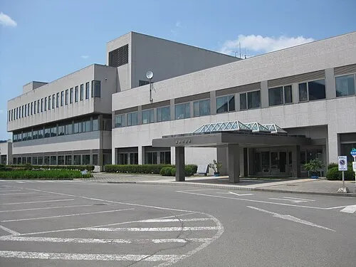 Hanawa Town, Kazuno Shi26 km N
-
 Hachimantai City, Hachimantai Shi25 km E
-
Shizukuishi Chō Municipality, Iwate-gun28 km S
-
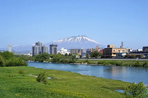 Morioka City, Morioka Shi38 km SE
-
 Shizukuishi Town, Shizukuishi Chō31 km S
-
Semboku City, Semboku-shi28 km S
Nearby attractions & nature
Everything nearby-
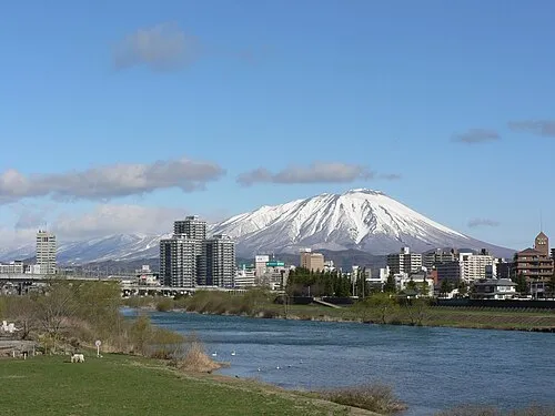 Iwate San Mountain, Iwate-gun17 km SE
-
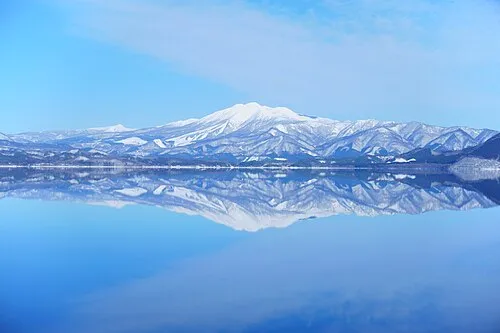 Mount Akita-Komagatake Mountain, Japan21 km S
More nature in Japan
-
Mount Himekami Mountain, Morioka Shi36 km E
-
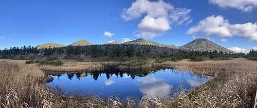 Hakkōda San Mountain, Aomori79 km N
-
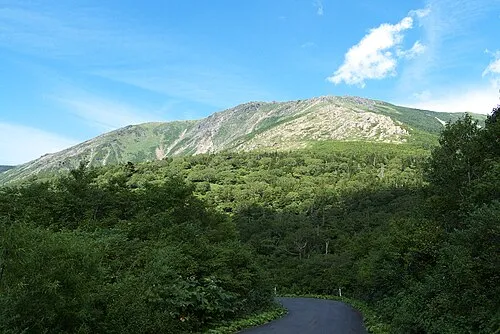 Hayachine Mountain, Miyako Shi69 km SE
-
 Mount Iwaki Mountain, Aomori91 km NW
-
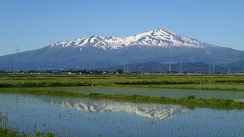 Mount Chōkai Mountain, Yuza Machi117 km SW
-
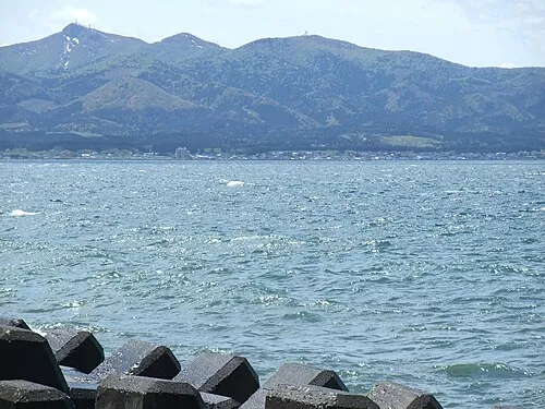 Eboshi-dake Mountain, Tōhoku Machi99 km N
Sources & licences
Data last updated: · 2 independent sources