Cape Sata
Located in Minamiōsumi Chō, Kimotsuki Gun Coordinates: 30°59′40″ N 130°39′37″ E
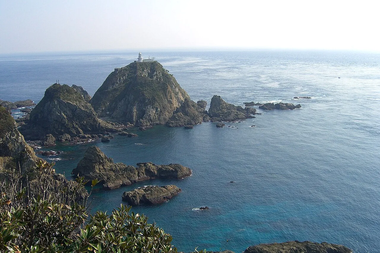
- Elevation
- 1 m
- above sea level
- Local time
- UTC+09:00
- Asia/Tokyo · UTC+09:00
- Airports
- TNE New Tanegashima Airport54 km
- KUM Yakushima Airport67 km
About Cape Sata
Cape Sata is a natural site. Location: Minamiōsumi Chō, Kimotsuki Gun.
Cape Sata (佐多岬, Sata Misaki) is a cape at the southern tip of the Ōsumi Peninsula of Kyūshū island, Japan. It is the southernmost point of the island, and therefore of the overall Japanese Home Islands (Hokkaidō, Honshū, Shikoku, and Kyūshū), just south of 31 degrees latitude. It belongs to the town of Minamiōsumi, Kagoshima Prefecture. It is within the borders of the Kirishima-Kinkōwan National Park, in the town of Minamiōsumi.
Source: Wikipedia · CC BY-SA 4.0
Photos of Cape Sata
-

Raita Futo from Tokyo, Japan · CC BY 2.0 -

Raita Futo from Tokyo, Japan · CC BY 2.0 -

Unknown author Unknown author · CC BY 4.0 -

KimonBerlin · CC BY-SA 2.0 -

KimonBerlin · CC BY-SA 2.0


Climate of Cape Sata
Best months for sightseeingBest months for sightseeing: April–June, October–November.
This month · November
A good month to visit
Day 20° · Night 13° · Rain 122 mm
- Hottest month
- August (day 30°)
- Coldest month
- January (night 6°)
- Wettest month
- June (433 mm)
- Driest month
- December (99 mm)
Bars: average monthly low and high temperature. Below: precipitation. Monthly averages for 1970–2000 at about 18 km resolution, adjusted for elevation. Highlighted months are mild and relatively dry. Source: WorldClim 2.1 (CC BY 4.0).
Show values as a table
| Month | Jan | Feb | Mar | Apr | May | Jun | Jul | Aug | Sep | Oct | Nov | Dec |
|---|---|---|---|---|---|---|---|---|---|---|---|---|
| Average high (°C) | 13° | 13° | 16° | 20° | 23° | 26° | 29° | 30° | 28° | 24° | 20° | 15° |
| Average low (°C) | 6° | 7° | 9° | 13° | 17° | 20° | 24° | 24° | 22° | 18° | 13° | 8° |
| Precipitation (mm) | 107 | 133 | 179 | 227 | 287 | 433 | 248 | 187 | 219 | 138 | 122 | 99 |
Other places to visit in this season: April May June October November
How to get to Cape Sata
The nearest airport is New Tanegashima Airport (TNE), 54 km to the southeast as the crow flies. For international flights: Kagoshima Airport (KOJ) (90 km). The nearest large city is Kanoya, 47 km to the northeast.
Airports
- New Tanegashima Airport (TNE) Tanegashima 54 kmsoutheast
- Yakushima Airport (KUM) Yakushima 67 kmsouth
- Kagoshima Airport (KOJ) Kagoshima 90 kmnorth
Nearby large cities
- Kanoya Population: 101.1K 47 kmnortheast
- Kagoshima Population: 595K 64 kmnorth
- Kirishima Population: 123.2K 83 kmnorth
- Miyakonojō Population: 161.1K 91 kmnortheast
- Miyazaki Population: 401.3K 125 kmnortheast
Straight-line distances; road distances are longer. Airport data: OurAirports.
Day trips from Cape Sata
Within 100 km: 7 natural sites, 14 lakes, rivers and coasts.
0–25 km1 place
- Kaimondake Volcano Mountain 24 kmNW
25–60 km12 places
- Tanega Shima Island 55 kmSE
- Iō-jima Island 42 kmSW
- Take-shima Island 30 kmSW
- Mage Shima Island 34 kmSE
60–100 km8 places
- Ōsumi-shotō Island 63 kmSW
- Yaku-shima Island 75 kmS
- Yakushima Mountain 75 kmS
- Kuro Shima Island 72 kmW
Straight-line distances.
Nearest towns and villages
-
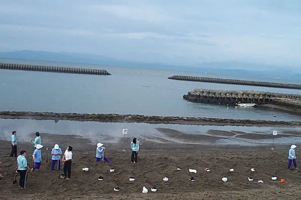 Ibusuki City, Ibusuki Shi27 km N
-
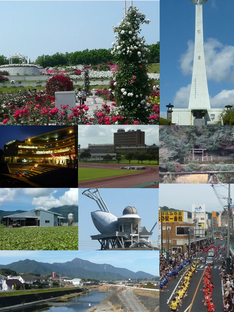 Kanoya City, Kanoya Shi47 km NE
-
Kinkō Chō Municipality, Kimotsuki Gun31 km NE
-
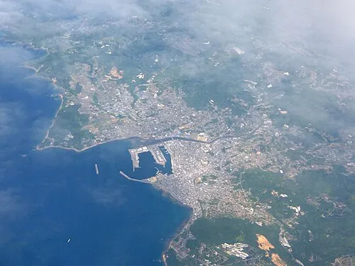 Makurazaki City, Makurazaki Shi45 km NW
-
 Kaseda-shirakame Town, Minamisatsuma Shi57 km NW
-
 Tarumizu City, Tarumizu Shi54 km N
Sources & licences
Data last updated: · 2 independent sources