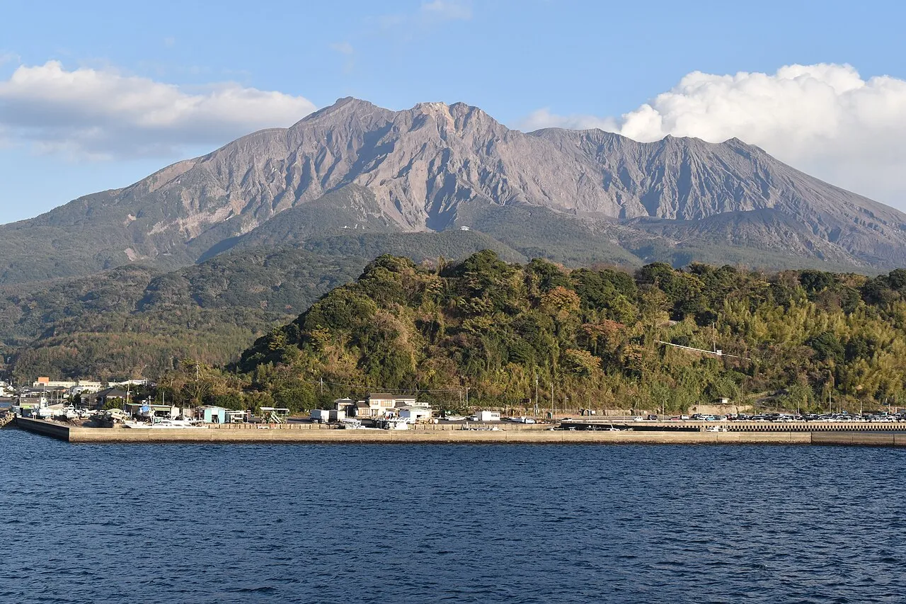
- Population
- 1,564,175
- 1.6M
- Elevation
- 142 m
- above sea level
- Local time
- UTC+09:00
- Asia/Tokyo · UTC+09:00
- Places inside
- 59
- listed under Kagoshima
- Airports
- KOJ Kagoshima Airport35 km
- KMI Miyazaki Airport53 km
About Kagoshima
Kagoshima is a region. Location: Japan. Population: 1,564,175.
Kagoshima Prefecture (鹿児島県, Kagoshima-ken; Japanese pronunciation: [kä̀.ɡó̞.ɕí.mä́(.kè̞ɴ̀), -ŋó̞-], locally [kä̀.ɡó̞ɕ.mä̀, -ɡò̞ɕ.mä́.kè̞ɴ̀]) is a prefecture of Japan located on the island of Kyushu and the Ryukyu Islands. Kagoshima Prefecture has a population of 1,527,019 (1 February 2025) and has a geographic area of 9,187 km2 (3,547 sq mi). Kagoshima Prefecture borders Kumamoto Prefecture to the north and Miyazaki Prefecture to the northeast.
Read more on Wikipedia Text: Wikipedia contributors · CC BY-SA 4.0 · shortened
Places bordering Kagoshima
Twin towns and sister cities of Kagoshima
- Georgia· United States
- Gifu· Japan
Source: Wikidata. Only places with a page on this site are shown.
Climate of Kagoshima
Best months for sightseeingBest months for sightseeing: May–June, October.
Bars: average monthly low and high temperature. Below: precipitation. Monthly averages for 1970–2000 at about 18 km resolution, adjusted for elevation. Highlighted months are mild and relatively dry. Source: WorldClim 2.1 (CC BY 4.0).
Show values as a table
| Month | Jan | Feb | Mar | Apr | May | Jun | Jul | Aug | Sep | Oct | Nov | Dec |
|---|---|---|---|---|---|---|---|---|---|---|---|---|
| Average high (°C) | 11° | 12° | 15° | 20° | 23° | 26° | 30° | 30° | 27° | 23° | 18° | 13° |
| Average low (°C) | 1° | 2° | 6° | 11° | 15° | 19° | 23° | 23° | 20° | 14° | 9° | 3° |
| Precipitation (mm) | 73 | 112 | 162 | 233 | 265 | 446 | 379 | 308 | 241 | 132 | 97 | 70 |
Airports nearest to Kagoshima
- Kagoshima Airport (KOJ) Kagoshima 35 km
- Miyazaki Airport (KMI) Miyazaki 53 km
- New Tanegashima Airport (TNE) Tanegashima 110 km
Straight-line distance; airports with scheduled flights only. Source: OurAirports (public domain).
Places in Kagoshima
59 places- 1 Kagoshima Shi 609.2K
- 2 Kirishima Shi 128.2K
- 3 Amami Islands 121.3K
- 4 Kanoya Shi 105.6K
- 5 Satsuma-sendai Shi 99.1K
- 6 Aira Shi 76K
- 7 Amami Ōshima 66K
- 8 Ōshima-gun 62.1K
- 9 Izumi Shi 55.9K
- 10 Hioki Shi 50.8K
- 11 Ōsumi-shotō 46.5K
- 12 Amami Shi 45.7K
- 13 Ibusuki Shi 43.9K
- 14 Soo Shi 39.4K
- 15 Minamikyushu Shi 38.5K
- 16 Minamisatsuma Shi 37.4K
- 17 Kimotsuki Gun 33.9K
- 18 Shibushi-shi 33.5K
- 19 Ichiki-kushikino Shi 30.2K
- 20 Isa Shi 28.7K
- 21 Tokunoshima Island 27K
- 22 Kumage-gun 24.6K
- 23 Makurazaki Shi 23.4K
- 24 Akune Shi 22.6K
- 25 Tarumizu Shi 16.7K
- 26 Nishinoomote Shi 16.6K
- 27 Yaku-shima 13.2K
- 28 Yakushima 13.2K
- 29 Soo Gun 12.2K
- 30 Aira Gun 11.4K
- 31 Yoronjima 6K
- 32 Tokara-rettō 740
- 33 Uke Island 200
- 34 Kuchinoerabu-jima 147
- 35 Nakano Shima 146
- 36 Iō-jima 139
- 37 Yoro Jima 70
- 38 Akuseki-shima 59
Bar: population relative to the most populous place in this list.
-
Gaja-shima Island
-
Chiringa Shima Island
-
Den Shima Island
-
Izumi-gun District
-
Kagoshima-gun District
-
Kagoshima Wan Natural site
-
Kaimondake Volcano Mountain
-
Kakeroma Jima Island
-
Kikai Shima Island
-
Kirishima Yama Mountain
-
Kiyama Island Island
-
Lake Ikeda Lake
-
Mage Shima Island
-
Ōsumi Peninsula Natural site
-
Sakura Jima Island
-
Satsuma Gun District
-
Satsuma Peninsula Natural site
-
Satsunan Islands Island
-
Shōwa’iō Jima Island
-
Sukomo Banare Island
-
Yubanare Island Island
Largest cities and towns
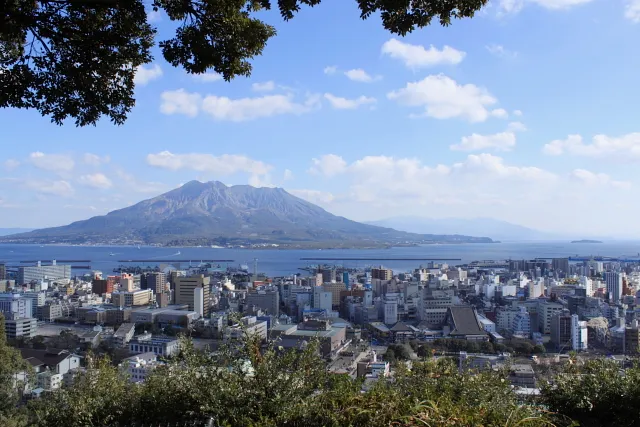
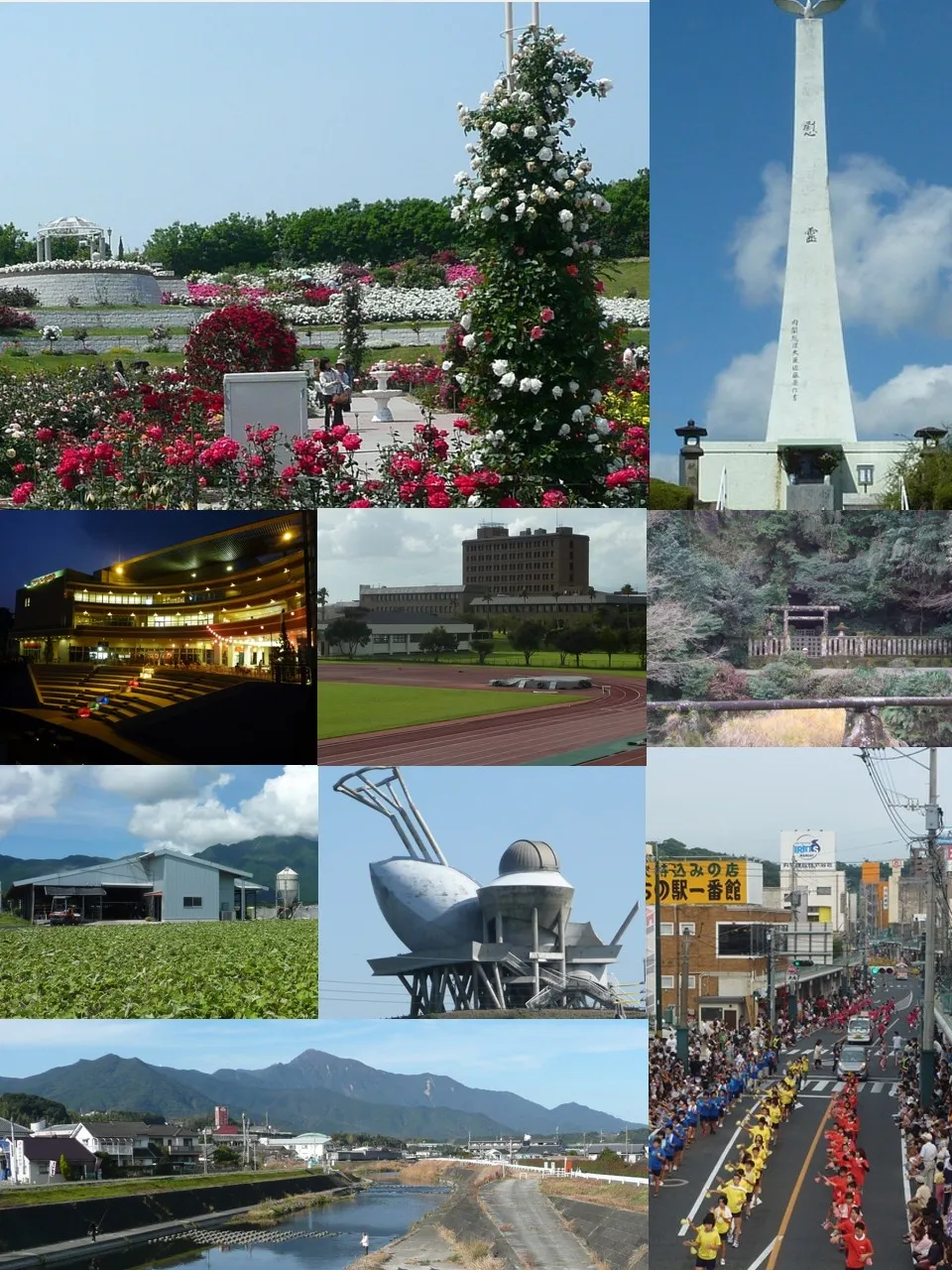
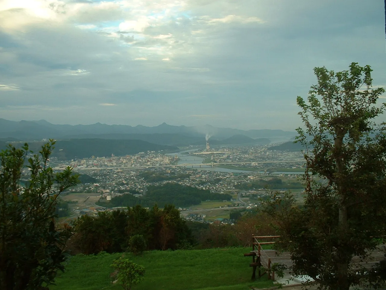
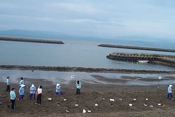
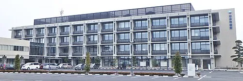
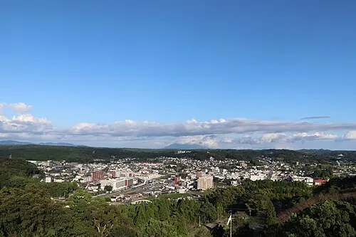
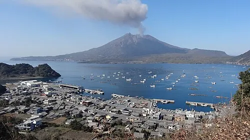
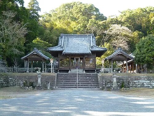
Nature and heritage in Kagoshima
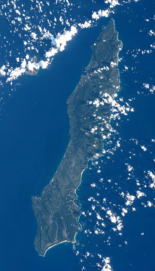

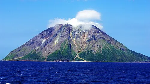
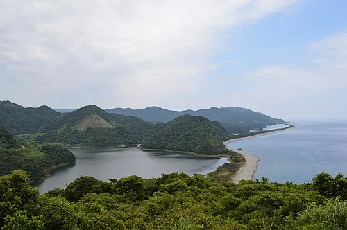
Other regions in Japan
-
 Miyazaki Region, Japan73 km NE
-
Miyakonojō Shi District, Miyazaki25 km N
-
Miyazaki District, Miyazaki55 km NE
-
Kushima Shi District, Miyazaki28 km SE
-
Ebino-shi District, Miyazaki50 km N
-
Nichinan Shi District, Miyazaki33 km E
Sources & licences
Data last updated: · 2 independent sources