Ōsumi Peninsula
Local name: 大隅半島
Located in Kagoshima, Japan Coordinates: 31°20′00″ N 130°55′00″ E

- Elevation
- 40 m
- above sea level
- Local time
- UTC+09:00
- Asia/Tokyo · UTC+09:00
- Airports
- KOJ Kagoshima Airport55 km
- KMI Miyazaki Airport79 km
About Ōsumi Peninsula
Ōsumi Peninsula is a natural site. Location: Kagoshima, Japan.
The Ōsumi Peninsula (大隅半島, Ōsumi Hantō) projects south from the Japanese island of Kyūshū and includes the southernmost point on the island, Cape Sata. Its east coast lies on the Pacific Ocean, while to the west it faces the Satsuma Peninsula across Kagoshima Bay. Politically it is part of Kagoshima Prefecture. Lava erupted in 1914 by Sakurajima (previously an island) made a land connection with the northwest of the Ōsumi Peninsula.
Read more on Wikipedia Text: Wikipedia contributors · CC BY-SA 4.0 · shortened
Climate of Ōsumi Peninsula
Best months for sightseeingBest months for sightseeing: April–June, October–November.
Bars: average monthly low and high temperature. Below: precipitation. Monthly averages for 1970–2000 at about 18 km resolution, adjusted for elevation. Highlighted months are mild and relatively dry. Source: WorldClim 2.1 (CC BY 4.0).
Show values as a table
| Month | Jan | Feb | Mar | Apr | May | Jun | Jul | Aug | Sep | Oct | Nov | Dec |
|---|---|---|---|---|---|---|---|---|---|---|---|---|
| Average high (°C) | 12° | 13° | 16° | 20° | 24° | 26° | 30° | 31° | 28° | 24° | 19° | 14° |
| Average low (°C) | 3° | 4° | 8° | 12° | 16° | 20° | 24° | 24° | 21° | 16° | 11° | 5° |
| Precipitation (mm) | 91 | 129 | 183 | 242 | 294 | 467 | 365 | 283 | 249 | 150 | 118 | 90 |
Other places to visit in this season: April May June October November
Airports nearest to Ōsumi Peninsula
- Kagoshima Airport (KOJ) Kagoshima 55 km
- Miyazaki Airport (KMI) Miyazaki 79 km
- New Tanegashima Airport (TNE) Tanegashima 81 km
Straight-line distance; airports with scheduled flights only. Source: OurAirports (public domain).
Nearest towns and villages
-
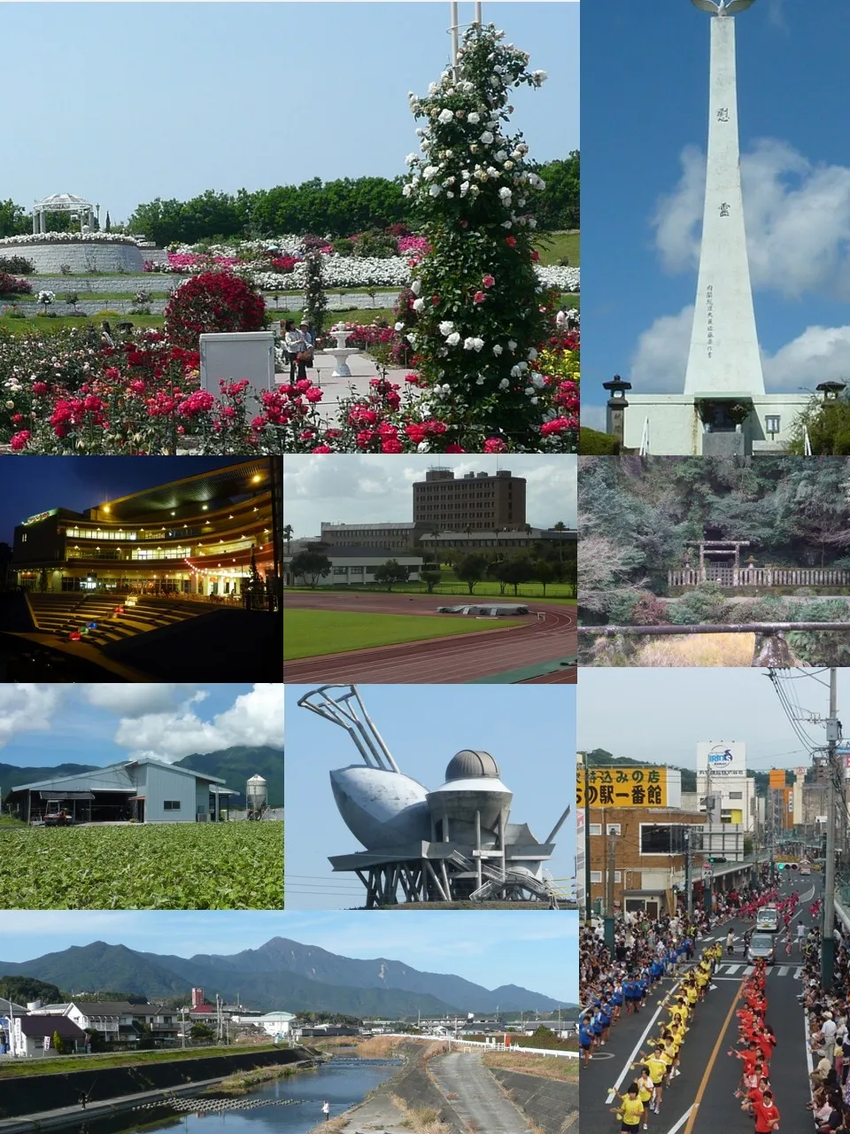 Kanoya City, Kanoya Shi8.4 km NW
-
Higashikushira Chō Municipality, Kimotsuki Gun8.8 km NE
-
Kimotsuki Chō Municipality, Kimotsuki Gun10 km SE
-
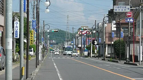 Ōsaki Town, Ōsaki Chō14 km NE
-
Ōsaki Chō Municipality, Soo Gun13 km NE
-
Kinkō Chō Municipality, Kimotsuki Gun14 km SW
More nature in Japan
-
 Kaimondake Volcano Mountain, Kagoshima41 km SW
-
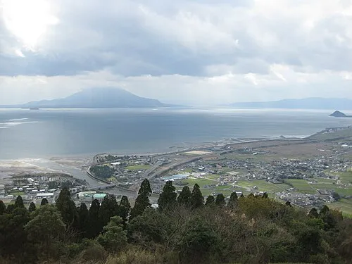 Kagoshima Wan Natural site, Kagoshima28 km W
-
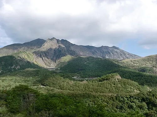 Sakurajima Mountain, Kagoshima Shi38 km NW
-
Yakushima Mountain, Kagoshima118 km S
-
 Satsuma Peninsula Natural site, Kagoshima48 km W
-
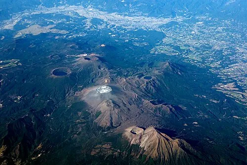 Kirishima Yama Mountain, Kagoshima64 km N
Sources & licences
Data last updated: · 2 independent sources