Kuchinoerabu-jima
Local name: 口永良部島
Located in Kagoshima, Japan Coordinates: 30°27′29″ N 130°12′57″ E
- Elevation
- 475 m
- above sea level
- Local time
- UTC+09:00
- Asia/Tokyo · UTC+09:00
- Population
- 147
- 147
- Airports
- KUM Yakushima Airport43 km
- TNE New Tanegashima Airport76 km
About Kuchinoerabu-jima
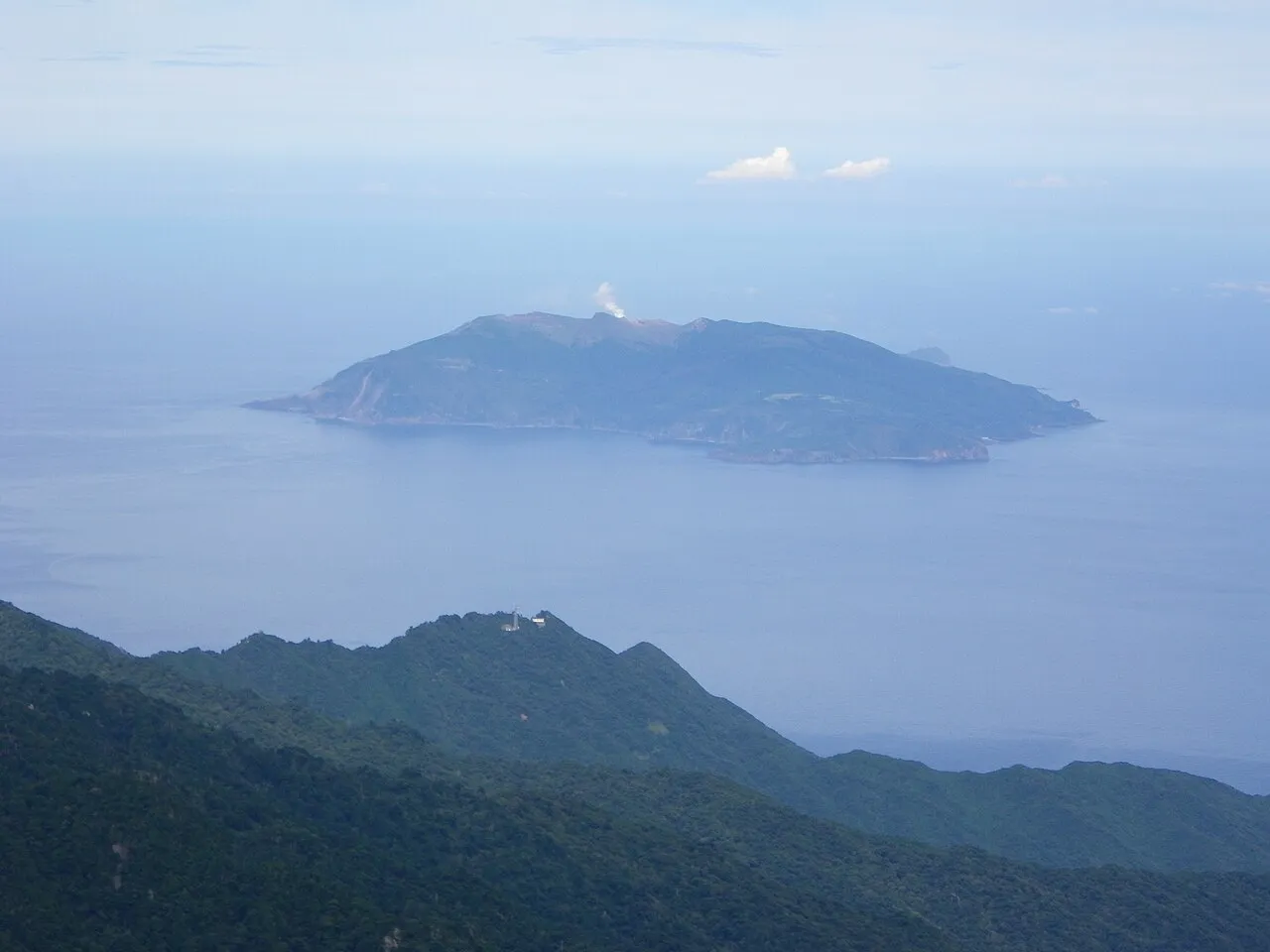
Kuchinoerabu-jima is an island. Location: Kagoshima, Japan. Population: 147.
Kuchinoerabu-jima (口永良部島), is one of the Satsunan Islands, usually classed with the Ōsumi Islands belonging to Kagoshima Prefecture, Japan. The island, 38.04 km2 (14.69 sq mi) in area, has a population of 147. The island can only be reached by boat as it has no airport. There is regular ferry service with Yakushima, which is about 15 km to the east. Travel time is approximately 1 hour. The islanders are dependent mainly on fishing, agriculture and seasonal tourism.
Source: Wikipedia · CC BY-SA 4.0
Climate of Kuchinoerabu-jima
Best months for sightseeingBest months for sightseeing: May–July, September–October.
This month · November
A wet month
Day 17° · Night 12° · Rain 150 mm
Better nearby cities in November
- Kanoya · 119 km northeast19°
- Kagoshima · 127 km north19°
- Kirishima · 152 km north19°
- Hottest month
- August (day 27°)
- Coldest month
- January (night 5°)
- Wettest month
- June (522 mm)
- Driest month
- December (116 mm)
Bars: average monthly low and high temperature. Below: precipitation. Monthly averages for 1970–2000 at about 18 km resolution, adjusted for elevation. Highlighted months are mild and relatively dry. Source: WorldClim 2.1 (CC BY 4.0).
Show values as a table
| Month | Jan | Feb | Mar | Apr | May | Jun | Jul | Aug | Sep | Oct | Nov | Dec |
|---|---|---|---|---|---|---|---|---|---|---|---|---|
| Average high (°C) | 11° | 11° | 14° | 18° | 21° | 24° | 27° | 27° | 25° | 22° | 17° | 13° |
| Average low (°C) | 5° | 6° | 8° | 12° | 15° | 18° | 22° | 22° | 20° | 16° | 12° | 7° |
| Precipitation (mm) | 166 | 156 | 170 | 228 | 315 | 522 | 200 | 236 | 233 | 158 | 150 | 116 |
Other places to visit in this season: May June July September October
How to get to Kuchinoerabu-jima
The nearest airport is Yakushima Airport (KUM), 43 km to the east as the crow flies. For international flights: Kagoshima Airport (KOJ) (157 km). The nearest large city is Kanoya, 119 km to the northeast.
Airports
- Yakushima Airport (KUM) Yakushima 43 kmeast
- New Tanegashima Airport (TNE) Tanegashima 76 kmeast
- Kagoshima Airport (KOJ) Kagoshima 157 kmnorth
Nearby large cities
- Kanoya Population: 101.1K 119 kmnortheast
- Kagoshima Population: 595K 127 kmnorth
- Kirishima Population: 123.2K 151 kmnorth
- Miyakonojō Population: 161.1K 163 kmnortheast
- Miyazaki Population: 401.3K 198 kmnortheast
Straight-line distances; road distances are longer. Airport data: OurAirports.
Nearest towns and villages
-
Yakushima Chō Municipality, Kumage-gun30 km SE
-
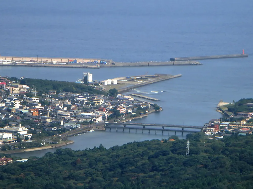 Miyanoura Town, Yakushima Chō34 km E
-
Mishima Mura Municipality, Kagoshima-gun38 km N
More lakes, rivers and coasts in Japan
-
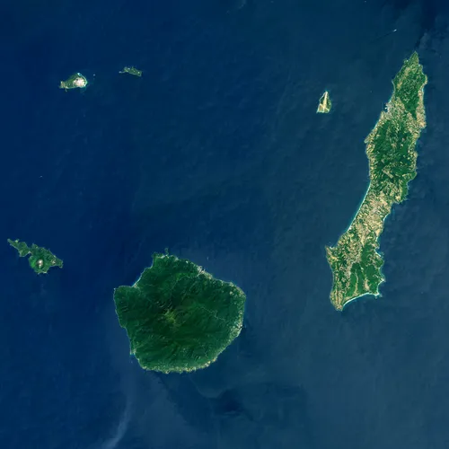 Ōsumi-shotō Island, Kagoshima17 km N
-
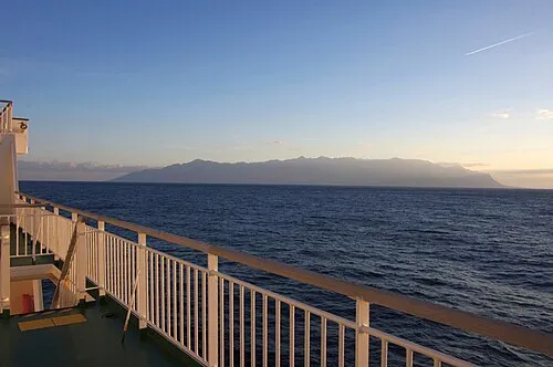 Yaku-shima Island, Kagoshima31 km SE
-
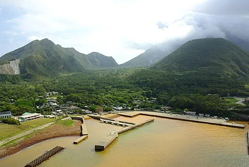 Iō-jima Island, Kagoshima38 km N
-
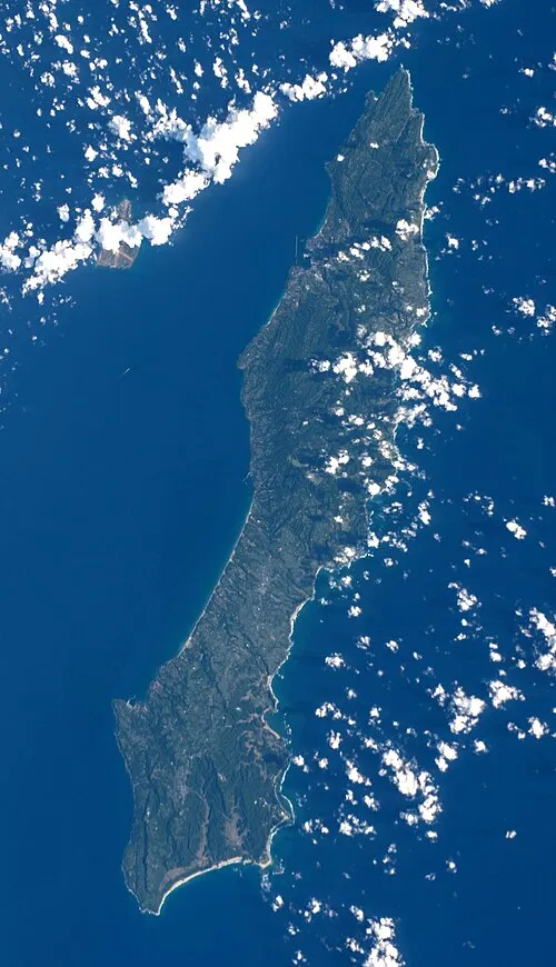 Tanega Shima Island, Nakatane Chō76 km E
-
Shōwa’iō Jima Island, Kagoshima40 km N
-
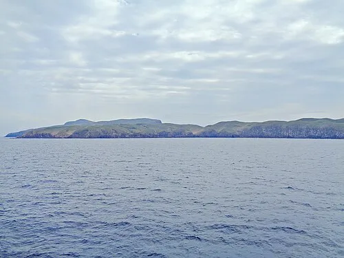 Take-shima Island, Mishima Mura44 km NE
Sources & licences
Data last updated: · 2 independent sources