Tanega Shima
Local name: 種子島
Located in Nakatane Chō, Kumage-gun Coordinates: 30°35′42″ N 130°59′43″ E
- Elevation
- 216 m
- above sea level
- Local time
- UTC+09:00
- Asia/Tokyo · UTC+09:00
- Population
- 33,000
- 33K
- Airports
- TNE New Tanegashima Airport1 km
- KUM Yakushima Airport40 km
About Tanega Shima
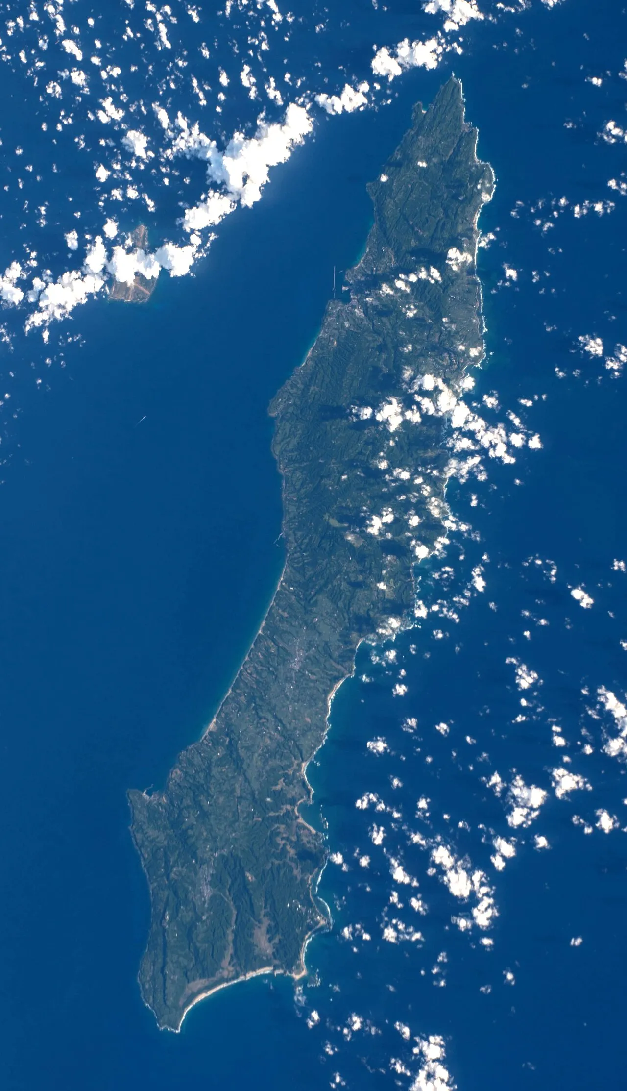
Tanega Shima is an island. Location: Nakatane Chō, Kumage-gun. Population: 33,000.
Tanegashima (種子島; Japanese pronunciation: [tä̀.né̞.ɡä́.ɕì.mä̀, tä̀.né̞.ŋä́-, tä́.nè̞.ɡä̀-, tä́.nè̞.ŋä̀-]) is one of the Ōsumi Islands belonging to Kagoshima Prefecture, Japan. The island, 444.99 km2 (171.81 sq mi) in area, is the second largest of the Ōsumi Islands, and has a population of 33,000 people. Access to the island is by ferry, or by air to New Tanegashima Airport. Administratively, the island is divided into the city, Nishinoomote, and the two towns, Nakatane and Minamitane.
Source: Wikipedia · CC BY-SA 4.0
At a glance
- Length
- 58 km
- Area
- 444 km²
Source: Wikidata
Photos of Tanega Shima
-

Earth Science and Remote Sensing Unit , Lyndon B. Johnson Space Center · Public domain -

Earth Science and Remote Sensing Unit , Lyndon B. Johnson Space Center · Public domain -

Earth Science and Remote Sensing Unit , Lyndon B. Johnson Space Center · Public domain


Travel notes for Tanega Shima
From Wikivoyage
Tanegashima (種子島) is an island in Kagoshima prefecture, south of Kyushu. It is home to the Tanegashima Space Center, the premier space launch site of the country.
Understand+
Tanegashima has two claims to fame. In 1543, Portuguese explorer Mendes Pinto found his way there and introduced firearms to the Japanese, and for a long time thereafter arquebuses were known as tanegashima in Japanese. These days, though, the main attraction is Tanegashima Space Center, JAXA's main spaceport.
Tourist Information Site:
#tanetabi is the local tourist association's multilingual guide site.
Get in+
By plane:
1 New Tanegashima Airport (TNE IATA). Has five flights daily from Kagoshima (30 min) and one flight daily from Osaka-Itami (1 hr 20 min), all on Japan Air Commuter, a JAL subsidiary.
A taxi to Nishi-no-omote costs about ¥6000.
By ferry:
The "Toppy" (トッピー) and "Rocket" (ロケット) Jetfoil ferries (formerly two separate companies) can be taken from Kagoshima; 4-6 of them take 1 hr 35 min, one of them takes 2 hours and stops in Isubuki, and one takes 3 hr 15 min and stops in Yakushima on its way back to Kagoshima. They cost ¥7100 (as of Dec 2016, -50% for kids, small discount for return tickets). Regular ferry as well as jet foil ferry services are cancelled in case of bad weather (waves more than 3 meters high). It is also better to make a reservation at least the day before, some boats can be fully booked.
Timetables are available on this page (Japanese; Kagoshima: 鹿児島, Tanegashima: 種子島). Before your departure, you can see the traffic situation on this other page . The important kanjis are: "通常" (normal traffic) and "条件付" (under condition).
2 Ferry Toppy and Rocket Nishinoomote Terminal, 49-1 Nishimachi, Nishinoomote, ☏ +81 997221224. (updated Apr 2022)
The Princess Wakasa car ferry runs once daily (3.5 hours, ¥3,700 in standard class, -50% for children up to 12 years, small discount for return tickets).
Source: Wikivoyage · CC BY-SA 4.0 · abridged
Climate of Tanega Shima
Best months for sightseeingBest months for sightseeing: April–June, October.
This month · November
A wet month
Day 19° · Night 12° · Rain 165 mm
Better nearby cities in November
- Kanoya · 89 km north19°
- Kagoshima · 116 km north19°
- Miyakonojō · 127 km north18°
- Hottest month
- August (day 29°)
- Coldest month
- January (night 5°)
- Wettest month
- June (463 mm)
- Driest month
- December (127 mm)
Bars: average monthly low and high temperature. Below: precipitation. Monthly averages for 1970–2000 at about 18 km resolution, adjusted for elevation. Highlighted months are mild and relatively dry. Source: WorldClim 2.1 (CC BY 4.0).
Show values as a table
| Month | Jan | Feb | Mar | Apr | May | Jun | Jul | Aug | Sep | Oct | Nov | Dec |
|---|---|---|---|---|---|---|---|---|---|---|---|---|
| Average high (°C) | 12° | 13° | 16° | 20° | 23° | 25° | 29° | 29° | 27° | 23° | 19° | 14° |
| Average low (°C) | 5° | 5° | 8° | 13° | 16° | 19° | 23° | 23° | 21° | 17° | 12° | 6° |
| Precipitation (mm) | 131 | 169 | 246 | 280 | 352 | 463 | 265 | 233 | 291 | 194 | 165 | 127 |
Other places to visit in this season: April May June October
How to get to Tanega Shima
The nearest airport is New Tanegashima Airport (TNE), 1 km to the north as the crow flies. For international flights: Kagoshima Airport (KOJ) (137 km). The nearest large city is Kanoya, 89 km to the north.
Airports
- New Tanegashima Airport (TNE) Tanegashima 1 kmnorth
- Yakushima Airport (KUM) Yakushima 40 kmsouthwest
- Kagoshima Airport (KOJ) Kagoshima 137 kmnorth
Nearby large cities
- Kanoya Population: 101.1K 89 kmnorth
- Kagoshima Population: 595K 116 kmnorth
- Miyakonojō Population: 161.1K 126 kmnorth
- Kirishima Population: 123.2K 129 kmnorth
- Miyazaki Population: 401.3K 152 kmnorth
Straight-line distances; road distances are longer. Airport data: OurAirports.
Day trips from Tanega Shima
Within 100 km: 6 natural sites, 10 lakes, rivers and coasts.
0–25 km1 place
- Mage Shima Island 21 kmNW
25–60 km4 places
- Yaku-shima Island 56 kmSW
- Yakushima Mountain 56 kmSW
- Take-shima Island 59 kmNW
- Cape Sata Natural site 55 kmNW
60–100 km11 places
- Ōsumi-shotō Island 78 kmW
- Kuchinoerabu-jima Island 76 kmW
- Iō-jima Island 71 kmW
- Lake Ikeda Lake 82 kmNW
Straight-line distances.
Nearest towns and villages
-
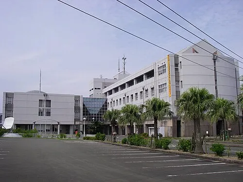 Nishinoomote City, Nishinoomote Shi15 km N
-
 Minamitane Chō Municipality, Kumage-gun22 km S
-
 Yakushima Chō Municipality, Kumage-gun55 km SW
-
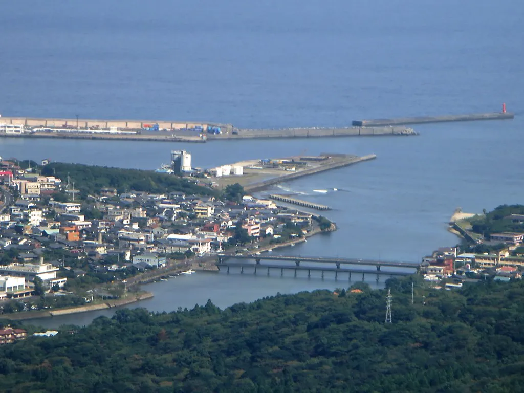 Miyanoura Town, Yakushima Chō45 km SW
Sources & licences
Data last updated: · 2 independent sources