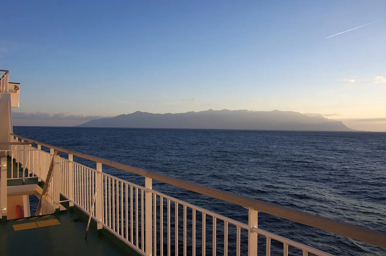
- Elevation
- 1,742 m
- above sea level
- Local time
- UTC+09:00
- Asia/Tokyo · UTC+09:00
- Population
- 13,178
- 13.2K
- Airports
- KUM Yakushima Airport16 km
- TNE New Tanegashima Airport56 km
About Yaku-shima
Yaku-shima is an island. Location: Kagoshima, Japan. Population: 13,178.
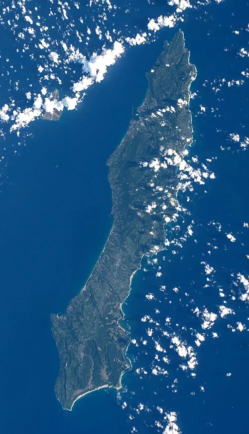
Yakushima (屋久島) is one of the Ōsumi Islands in Kagoshima Prefecture, Japan. The island, 504.88 km2 (194.94 sq mi) in area, has a population of 11,858. It is accessible by hydrofoil ferry, car ferry, or by air to Yakushima Airport. The island is part of the town (chō) of Yakushima, which includes the neighbouring island of Kuchinoerabujima. 42% of the island is within the borders of the Yakushima National Park.
Read more on Wikipedia Text: Wikipedia contributors · CC BY-SA 4.0 · shortened
At a glance
- Heritage designation
- World Heritage Site, Ramsar site, Wilderness Area
- Length
- 28 km
- Area
- 504 km²
Source: Wikidata
Climate of Yaku-shima
Best months for sightseeingBest months for sightseeing: July–August.
Bars: average monthly low and high temperature. Below: precipitation. Monthly averages for 1970–2000 at about 18 km resolution, adjusted for elevation. Highlighted months are mild and relatively dry. Source: WorldClim 2.1 (CC BY 4.0).
Show values as a table
| Month | Jan | Feb | Mar | Apr | May | Jun | Jul | Aug | Sep | Oct | Nov | Dec |
|---|---|---|---|---|---|---|---|---|---|---|---|---|
| Average high (°C) | 3° | 4° | 6° | 10° | 14° | 16° | 20° | 20° | 18° | 14° | 10° | 5° |
| Average low (°C) | -3° | -2° | 0° | 4° | 8° | 11° | 14° | 14° | 12° | 8° | 4° | -1° |
| Precipitation (mm) | 152 | 183 | 245 | 289 | 380 | 523 | 338 | 309 | 291 | 199 | 180 | 138 |
Airports nearest to Yaku-shima
- Yakushima Airport (KUM) Yakushima 16 km
- New Tanegashima Airport (TNE) Tanegashima 56 km
- Kagoshima Airport (KOJ) Kagoshima 164 km
Straight-line distance; airports with scheduled flights only. Source: OurAirports (public domain).
Nearest towns and villages
-
Yakushima Chō Municipality, Kumage-gun1.5 km N
-
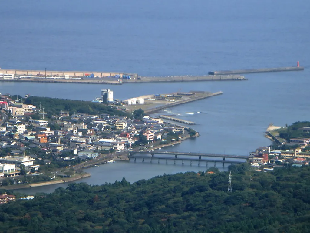 Miyanoura Town, Yakushima Chō12 km NE
-
Minamitane Chō Municipality, Kumage-gun40 km E
-
Nakatane Chō Municipality, Kumage-gun50 km NE
-
Mishima Mura Municipality, Kagoshima-gun54 km N
More lakes, rivers and coasts in Japan
-
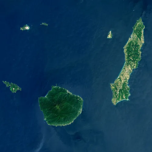 Ōsumi-shotō Island, Kagoshima43 km NW
-
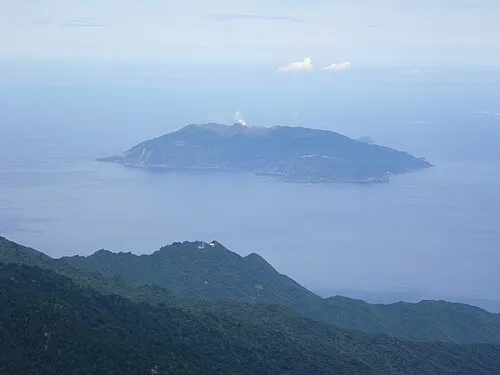 Kuchinoerabu-jima Island, Kagoshima31 km NW
-
 Tanega Shima Island, Nakatane Chō56 km NE
-
 Iō-jima Island, Kagoshima54 km N
-
 Take-shima Island, Mishima Mura53 km N
-
Shōwa’iō Jima Island, Kagoshima54 km N
Sources & licences
Data last updated: · 2 independent sources