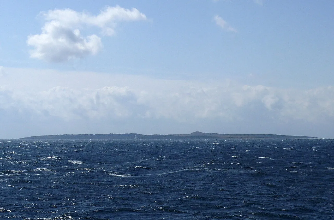
- Elevation
- 29 m
- above sea level
- Local time
- UTC+09:00
- Asia/Tokyo · UTC+09:00
- Airports
- TNE New Tanegashima Airport20 km
- KUM Yakushima Airport44 km
About Mage Shima
Mage Shima is an island. Location: Kagoshima, Japan.
Mageshima (馬毛島), is an eight square kilometre Japanese island forming part of the Satsunan Islands, which are usually classed with the Ōsumi Islands. It belongs to Kagoshima Prefecture and it is administered by the city of Nishinoomote on Tanegashima.
Read more on Wikipedia Text: Wikipedia contributors · CC BY-SA 4.0 · shortened
At a glance
- Area
- 8.2 km²
Source: Wikidata
Climate of Mage Shima
Best months for sightseeingBest months for sightseeing: April–June, October–November.
Bars: average monthly low and high temperature. Below: precipitation. Monthly averages for 1970–2000 at about 18 km resolution, adjusted for elevation. Highlighted months are mild and relatively dry. Source: WorldClim 2.1 (CC BY 4.0).
Show values as a table
| Month | Jan | Feb | Mar | Apr | May | Jun | Jul | Aug | Sep | Oct | Nov | Dec |
|---|---|---|---|---|---|---|---|---|---|---|---|---|
| Average high (°C) | 13° | 14° | 17° | 21° | 24° | 26° | 30° | 30° | 28° | 24° | 20° | 15° |
| Average low (°C) | 6° | 7° | 9° | 14° | 17° | 20° | 24° | 24° | 22° | 18° | 13° | 8° |
| Precipitation (mm) | 122 | 158 | 228 | 268 | 335 | 450 | 262 | 224 | 276 | 183 | 154 | 119 |
Other places to visit in this season: April May June October November
Airports nearest to Mage Shima
- New Tanegashima Airport (TNE) Tanegashima 20 km
- Yakushima Airport (KUM) Yakushima 44 km
- Kagoshima Airport (KOJ) Kagoshima 118 km
Straight-line distance; airports with scheduled flights only. Source: OurAirports (public domain).
Nearest towns and villages
-
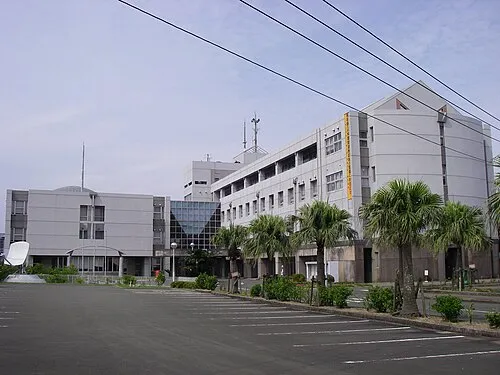 Nishinoomote City, Nishinoomote Shi14 km E
-
Nakatane Chō Municipality, Kumage-gun25 km SE
-
Minamitane Chō Municipality, Kumage-gun37 km S
-
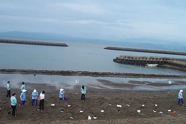 Ibusuki City, Ibusuki Shi58 km N
-
Minamiōsumi Chō Municipality, Kimotsuki Gun43 km N
-
Yakushima Chō Municipality, Kumage-gun55 km SW
More lakes, rivers and coasts in Japan
-
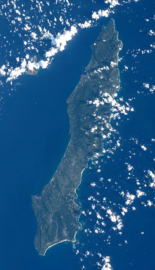 Tanega Shima Island, Nakatane Chō21 km SE
-
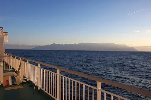 Yaku-shima Island, Kagoshima57 km SW
-
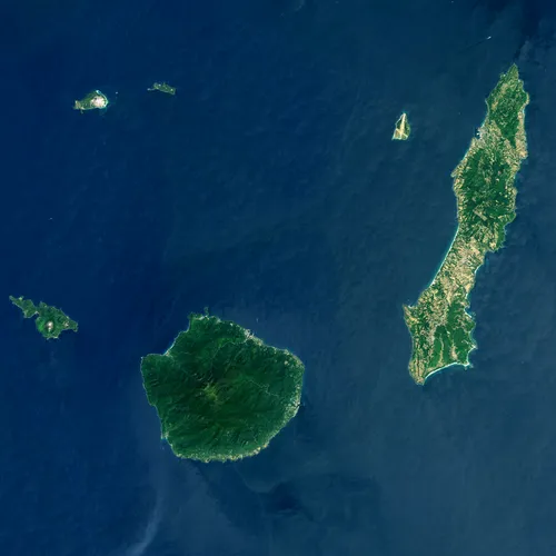 Ōsumi-shotō Island, Kagoshima66 km W
-
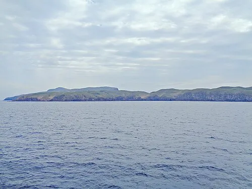 Take-shima Island, Mishima Mura41 km W
-
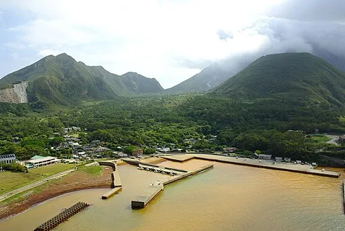 Iō-jima Island, Kagoshima54 km W
-
Shōwa’iō Jima Island, Kagoshima50 km W
Sources & licences
Data last updated: · 2 independent sources