Kakeroma Jima
Local name: 加計呂麻島
Located in Kagoshima, Japan Coordinates: 28°08′00″ N 129°14′00″ E

- Elevation
- 198 m
- above sea level
- Local time
- UTC+09:00
- Asia/Tokyo · UTC+09:00
- Airports
- TKN Tokunoshima Airport48 km
- ASJ Amami Airport57 km
About Kakeroma Jima
Kakeroma Jima is an island. Location: Kagoshima, Japan.
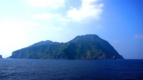
Kakeromajima (Japanese: 加計呂麻島; also Kakeroma-tō; Amami: Xakeroma) is one of the Satsunan Islands, classed with the Amami archipelago between Kyūshū and Okinawa. The island, 77.39 km2 (29.88 sq mi) in area, has a population of approximately 1,600 persons. Administratively it is part of the town of Setouchi in Kagoshima Prefecture. Much of the island is within the borders of the Amami Guntō Quasi-National Park.
Read more on Wikipedia Text: Wikipedia contributors · CC BY-SA 4.0 · shortened
At a glance
- Area
- 77.4 km²
Source: Wikidata
Climate of Kakeroma Jima
Best months for sightseeingBest months for sightseeing: March–June, October–December.
Bars: average monthly low and high temperature. Below: precipitation. Monthly averages for 1970–2000 at about 18 km resolution, adjusted for elevation. Highlighted months are mild and relatively dry. Source: WorldClim 2.1 (CC BY 4.0).
Show values as a table
| Month | Jan | Feb | Mar | Apr | May | Jun | Jul | Aug | Sep | Oct | Nov | Dec |
|---|---|---|---|---|---|---|---|---|---|---|---|---|
| Average high (°C) | 17° | 17° | 19° | 22° | 24° | 27° | 30° | 30° | 28° | 25° | 22° | 19° |
| Average low (°C) | 12° | 12° | 14° | 17° | 20° | 22° | 25° | 25° | 24° | 21° | 18° | 14° |
| Precipitation (mm) | 135 | 148 | 177 | 236 | 291 | 358 | 203 | 209 | 184 | 167 | 177 | 121 |
Other places to visit in this season: March April May June October November December
Airports nearest to Kakeroma Jima
- Tokunoshima Airport (TKN) Amagi 48 km
- Amami Airport (ASJ) Amami 57 km
- Kikai Airport (KKX) Kikai 71 km
Straight-line distance; airports with scheduled flights only. Source: OurAirports (public domain).
Nearest towns and villages
-
Setouchi Chō Municipality, Ōshima-gun8.6 km E
-
Uken Son Municipality, Ōshima-gun17 km NE
-
Uken Village, Uken Son18 km N
-
Yamato Son Municipality, Ōshima-gun25 km NE
-
Naze Town, Amami Shi36 km NE
-
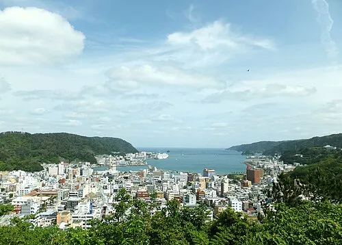 Amami City, Amami Shi37 km NE
Nearby attractions & nature
Everything nearby-
Sukomo Banare Island, Kagoshima6.7 km W
-
Yubanare Island Island, Kagoshima8.3 km W
-
 Uke Island Island, Kagoshima12 km S
-
 Yoro Jima Island, Kagoshima13 km SW
-
Kiyama Island Island, Kagoshima13 km S
-
 Amami Ōshima Island, Kagoshima16 km NE
-
Edateku Jima Island, Uken Son18 km N
-
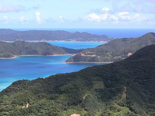 Amami Islands Island, Kagoshima19 km NE
More lakes, rivers and coasts in Japan
-
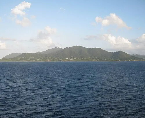 Tokunoshima Island Island, Kagoshima49 km SW
-
 Okinoerabujima Island Island, Ōshima-gun103 km SW
-
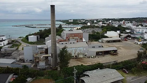 Yoronjima Island, Kagoshima145 km SW
-
 Tokara-rettō Island, Kagoshima146 km N
-
 Takara Jima Island, Toshima-mura112 km N
-
 Kikai Shima Island, Kagoshima77 km E
Sources & licences
Data last updated: · 2 independent sources