Edateku Jima
Local name: 枝手久島
Located in Uken Son, Ōshima-gun Coordinates: 28°17′38″ N 129°11′56″ E
- Elevation
- 254 m
- above sea level
- Local time
- UTC+09:00
- Asia/Tokyo · UTC+09:00
- Airports
- ASJ Amami Airport53 km
- TKN Tokunoshima Airport60 km
About Edateku Jima
Edateku Jima is an island. Location: Uken Son, Ōshima-gun.
Edateku Island (Japanese: 枝手久島) is one of the islands of Amami Islands of Satsunan Islands, Japan. It administratively belongs to Uken Village, Ōshima District, Kagoshima Prefecture. It is a desert island far off the Amami Oshima coast. It is said to be an origin of Achalinus werneri, a kind of colubrid snake species. The island was originally planned to be an oil reserve site in 1970s, but this plan was finally called off as it was strongly opposed by nearby villagers.
Source: Wikipedia · CC BY-SA 4.0
At a glance
- Area
- 5.8 km²
Source: Wikidata
Climate of Edateku Jima
Best months for sightseeingBest months for sightseeing: April–June, October–November.
This month · November
A good month to visit
Day 22° · Night 17° · Rain 184 mm
- Hottest month
- July (day 30°)
- Coldest month
- January (night 11°)
- Wettest month
- June (377 mm)
- Driest month
- December (128 mm)
Bars: average monthly low and high temperature. Below: precipitation. Monthly averages for 1970–2000 at about 18 km resolution, adjusted for elevation. Highlighted months are mild and relatively dry. Source: WorldClim 2.1 (CC BY 4.0).
Show values as a table
| Month | Jan | Feb | Mar | Apr | May | Jun | Jul | Aug | Sep | Oct | Nov | Dec |
|---|---|---|---|---|---|---|---|---|---|---|---|---|
| Average high (°C) | 16° | 16° | 18° | 21° | 24° | 27° | 30° | 29° | 28° | 25° | 22° | 18° |
| Average low (°C) | 11° | 11° | 13° | 16° | 19° | 22° | 25° | 25° | 23° | 20° | 17° | 13° |
| Precipitation (mm) | 140 | 154 | 181 | 241 | 301 | 377 | 213 | 218 | 192 | 169 | 184 | 128 |
Other places to visit in this season: April May June October November
How to get to Edateku Jima
The nearest airport is Amami Airport (ASJ), 53 km to the east as the crow flies. The nearest large city is Uruma, 250 km to the southwest.
Airports
- Amami Airport (ASJ) Amami 53 kmeast
- Tokunoshima Airport (TKN) Amagi 60 kmsouthwest
- Kikai Airport (KKX) Kikai 72 kmeast
Nearby large cities
- Uruma Population: 125.3K 250 kmsouthwest
- Okinawa Population: 142.8K 257 kmsouthwest
- Ginowan Population: 100.1K 266 kmsouthwest
- Urasoe Population: 115.7K 268 kmsouthwest
- Naha Population: 317.6K 275 kmsouthwest
Straight-line distances; road distances are longer. Airport data: OurAirports.
Day trips from Edateku Jima
Within 100 km: 12 lakes, rivers and coasts.
0–25 km5 places
- Amami Islands Island 15 kmE
- Amami Ōshima Island 14 kmE
- Sukomo Banare Island 20 kmS
- Kakeroma Jima Island 18 kmS
25–60 km4 places
- Uke Island Island 30 kmS
- Yoro Jima Island 28 kmS
- Kiyama Island Island 31 kmS
- Yokoate-shima Island 60 kmN
60–100 km3 places
- Tokunoshima Island Island 63 kmSW
- Takara Jima Island 95 kmN
- Kikai Shima Island 77 kmE
Straight-line distances.
Nearest towns and villages
-
Uken Village, Uken Son3.4 km E
-
Yamato Son Municipality, Ōshima-gun16 km E
-
Setouchi Chō Municipality, Ōshima-gun19 km SE
-
Naze Town, Amami Shi29 km E
-
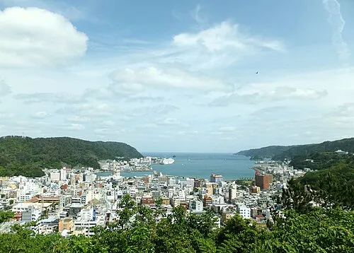 Amami City, Amami Shi30 km E
-
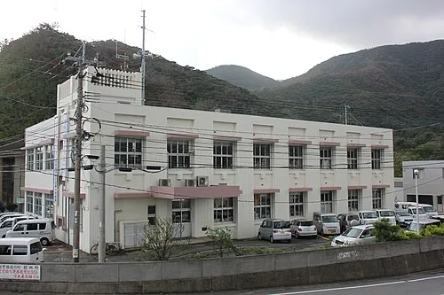 Tatsugō Town, Tatsugō Chō43 km NE
Nearby attractions & nature
Everything nearby-
 Amami Ōshima Island, Kagoshima14 km E
-
Sukomo Banare Island, Kagoshima20 km S
-
 Kakeroma Jima Island, Kagoshima18 km S
-
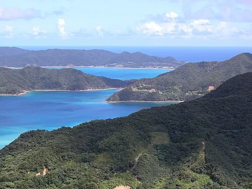 Amami Islands Island, Kagoshima15 km E
-
Yubanare Island Island, Kagoshima19 km S
Sources & licences
Data last updated: · 2 independent sources