- Population
- 5,992
- 6K
- Elevation
- 45 m
- above sea level
- Local time
- UTC+09:00
- Asia/Tokyo · UTC+09:00
- Airports
- ASJ Amami Airport11 km
- KKX Kikai Airport35 km
About Tatsugō
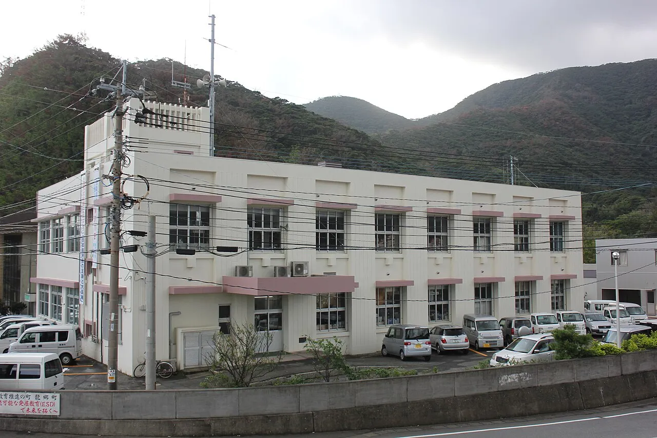
Tatsugō is a town. Location: Tatsugō Chō, Ōshima-gun. Population: 5,992. Elevation: 45 m.
Tatsugō (龍郷町, Tatsugō-chō) is a town located on Amami Ōshima, in Ōshima District, Kagoshima Prefecture, Japan. As of June 2013, the town had an estimated population of 5,992 and a population density of 73 persons per km2. The total area was 82.06 km2.
Source: Wikipedia · CC BY-SA 4.0
Photos of Tatsugō
-

Mmsmr · CC0 -

Indiana jo · CC BY-SA 4.0 -

Suikotei · CC BY-SA 4.0 -

Suikotei · CC BY-SA 4.0 -

tsuda · CC BY-SA 2.0


Places bordering Tatsugō
- Amami
Population of Tatsugō over time
| 2010 | 6,078 | |
|---|---|---|
| 2015 | 5,806 | |
| 2021 | 5,753 |
Censuses and official estimates; source: Wikidata.
Climate of Tatsugō
Best months for sightseeingBest months for sightseeing: March–May, October–December.
This month · November
A good month to visit
Day 23° · Night 18° · Rain 197 mm
- Hottest month
- July (day 31°)
- Coldest month
- January (night 13°)
- Wettest month
- June (402 mm)
- Driest month
- December (135 mm)
Bars: average monthly low and high temperature. Below: precipitation. Monthly averages for 1970–2000 at about 18 km resolution, adjusted for elevation. Highlighted months are mild and relatively dry. Source: WorldClim 2.1 (CC BY 4.0).
Show values as a table
| Month | Jan | Feb | Mar | Apr | May | Jun | Jul | Aug | Sep | Oct | Nov | Dec |
|---|---|---|---|---|---|---|---|---|---|---|---|---|
| Average high (°C) | 17° | 17° | 20° | 23° | 25° | 28° | 31° | 31° | 30° | 26° | 23° | 19° |
| Average low (°C) | 13° | 13° | 15° | 18° | 20° | 24° | 26° | 26° | 25° | 22° | 18° | 14° |
| Precipitation (mm) | 144 | 162 | 189 | 247 | 316 | 402 | 212 | 218 | 202 | 174 | 197 | 135 |
Other places to visit in this season: March April May October November December
How to get to Tatsugō
The nearest airport is Amami Airport (ASJ), 11 km to the east as the crow flies. The nearest large city is Uruma, 287 km to the southwest.
Airports
- Amami Airport (ASJ) Amami 11 kmeast
- Kikai Airport (KKX) Kikai 35 kmsoutheast
- Tokunoshima Airport (TKN) Amagi 98 kmsouthwest
Nearby large cities
- Uruma Population: 125.3K 287 kmsouthwest
- Okinawa Population: 142.8K 294 kmsouthwest
- Ginowan Population: 100.1K 303 kmsouthwest
- Urasoe Population: 115.7K 305 kmsouthwest
- Naha Population: 317.6K 312 kmsouthwest
Straight-line distances; road distances are longer. Airport data: OurAirports.
Day trips from Tatsugō
Within 100 km: 14 lakes, rivers and coasts.
25–60 km9 places
- Amami Islands Island 32 kmSW
- Amami Ōshima Island 34 kmSW
- Uke Island Island 59 kmSW
- Kiyama Island Island 57 kmSW
60–100 km5 places
- Tokunoshima Island Island 99 kmSW
- Takara Jima Island 86 kmNW
- Yoro Jima Island 63 kmSW
- Satsunan Islands Island 72 kmNE
Straight-line distances.
Sources & licences
Data last updated: · 2 independent sources