- Local time
- UTC+09:00
- Asia/Tokyo · UTC+09:00
- Airports
- ASJ Amami Airport69 km
- KKX Kikai Airport76 km
About Satsunan Islands
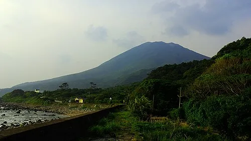
Satsunan Islands is an island. Location: Kagoshima, Japan.
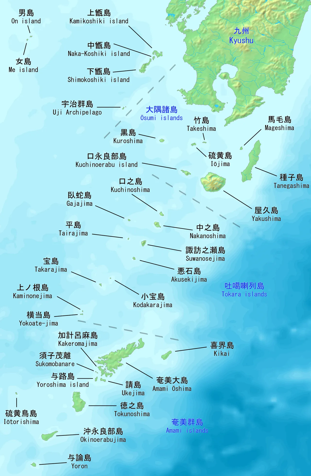
The Satsunan Islands (薩南諸島, Satsunan-shotō) is a geopolitical name for a group of islands that forms the northern part of the Ryukyu Islands. The whole island group belongs to Kagoshima Prefecture, Japan and has a total population of about 150,000 people.
Source: Wikipedia · CC BY-SA 4.0
Climate of Satsunan Islands
Best months for sightseeingBest months for sightseeing: March–May, October–December.
This month · November
A good month to visit
Day 23° · Night 18° · Rain 197 mm
- Hottest month
- July (day 31°)
- Coldest month
- January (night 12°)
- Wettest month
- June (406 mm)
- Driest month
- December (138 mm)
Bars: average monthly low and high temperature. Below: precipitation. Monthly averages for 1970–2000 at about 18 km resolution, adjusted for elevation. Highlighted months are mild and relatively dry. Source: WorldClim 2.1 (CC BY 4.0).
Show values as a table
| Month | Jan | Feb | Mar | Apr | May | Jun | Jul | Aug | Sep | Oct | Nov | Dec |
|---|---|---|---|---|---|---|---|---|---|---|---|---|
| Average high (°C) | 17° | 17° | 19° | 22° | 25° | 28° | 31° | 31° | 29° | 26° | 23° | 19° |
| Average low (°C) | 12° | 13° | 15° | 18° | 20° | 23° | 26° | 26° | 25° | 22° | 18° | 14° |
| Precipitation (mm) | 144 | 162 | 191 | 247 | 319 | 406 | 203 | 206 | 202 | 171 | 197 | 138 |
Other places to visit in this season: March April May October November December
How to get to Satsunan Islands
The nearest airport is Amami Airport (ASJ), 69 km to the southwest as the crow flies. The nearest large city is Kanoya, 277 km to the north.
Airports
- Amami Airport (ASJ) Amami 69 kmsouthwest
- Kikai Airport (KKX) Kikai 76 kmsouth
- Yakushima Airport (KUM) Yakushima 166 kmnorth
Nearby large cities
- Kanoya Population: 101.1K 277 kmnorth
- Kagoshima Population: 595K 289 kmnorth
- Kirishima Population: 123.2K 313 kmnorth
- Miyakonojō Population: 161.1K 320 kmnorth
- Miyazaki Population: 401.3K 351 kmnorth
Straight-line distances; road distances are longer. Airport data: OurAirports.
More lakes, rivers and coasts in Japan
-
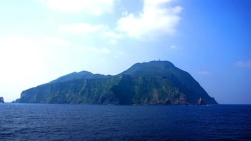 Tokara-rettō Island, Kagoshima48 km NW
-
 Amami Ōshima Island, Kagoshima106 km SW
-
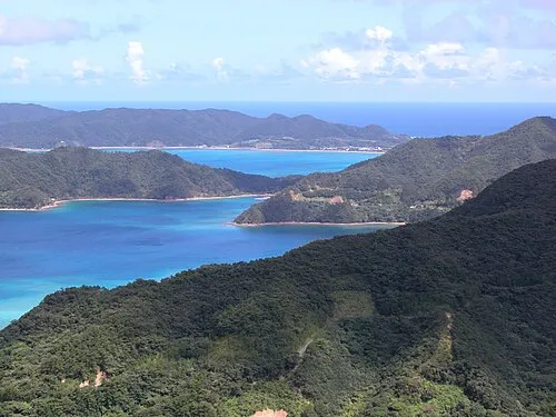 Amami Islands Island, Kagoshima103 km SW
-
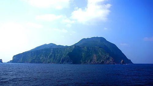 Akuseki-shima Island, Kagoshima64 km NW
-
 Nakano Shima Island, Kagoshima95 km N
-
 Yoro Jima Island, Kagoshima135 km SW
Sources & licences
Data last updated: · 2 independent sources