Nishinoomote Shi
Local name: 西之表市
Located in Kagoshima, Japan Coordinates: 30°42′19″ N 131°00′55″ E
- Population
- 16,647
- 16.6K
- Elevation
- 52 m
- above sea level
- Local time
- UTC+09:00
- Asia/Tokyo · UTC+09:00
- Places inside
- 1
- listed under Nishinoomote Shi
- Airports
- TNE New Tanegashima Airport11 km
- KUM Yakushima Airport49 km
About Nishinoomote Shi
Nishinoomote Shi is a district. Location: Kagoshima, Japan. Population: 16,647.
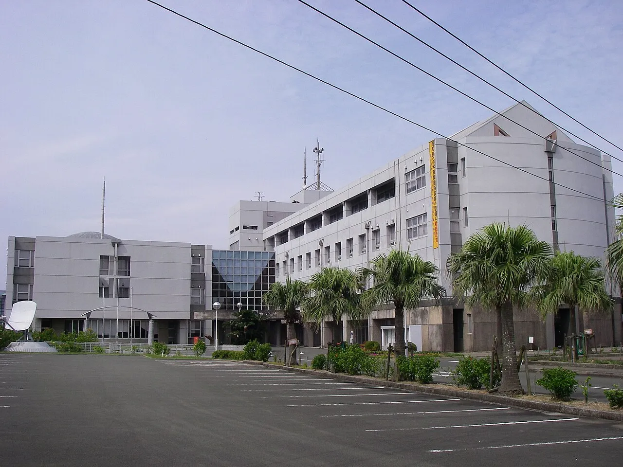
Nishinoomote (西之表市, Nishinoomote-shi) is a city located on the island of Tanegashima, in Kagoshima Prefecture, Japan. As of 30 April 2024, the city had an estimated population of 14,151 in 7941 households, and a population density of 69 persons per km2. The total area of the city is 205.57 km2 (79.37 sq mi).
Source: Wikipedia · CC BY-SA 4.0
Places bordering Nishinoomote Shi
- Nakatane Chō
Twin towns and sister cities of Nishinoomote Shi
- Nagahama· Japan
- Sakai Shi· Japan
Source: Wikidata. Only places with a page on this site are shown.
Population of Nishinoomote Shi over time
| 2010 | 16,951 | |
|---|---|---|
| 2015 | 15,967 | |
| 2021 | 14,694 |
Censuses and official estimates; source: Wikidata.
Climate of Nishinoomote Shi
Best months for sightseeingBest months for sightseeing: April–June, October–November.
This month · November
A good month to visit
Day 20° · Night 13° · Rain 152 mm
- Hottest month
- August (day 30°)
- Coldest month
- January (night 6°)
- Wettest month
- June (446 mm)
- Driest month
- December (114 mm)
Bars: average monthly low and high temperature. Below: precipitation. Monthly averages for 1970–2000 at about 18 km resolution, adjusted for elevation. Highlighted months are mild and relatively dry. Source: WorldClim 2.1 (CC BY 4.0).
Show values as a table
| Month | Jan | Feb | Mar | Apr | May | Jun | Jul | Aug | Sep | Oct | Nov | Dec |
|---|---|---|---|---|---|---|---|---|---|---|---|---|
| Average high (°C) | 13° | 14° | 17° | 21° | 24° | 26° | 30° | 30° | 28° | 24° | 20° | 15° |
| Average low (°C) | 6° | 7° | 10° | 14° | 17° | 20° | 24° | 24° | 22° | 18° | 13° | 8° |
| Precipitation (mm) | 116 | 154 | 225 | 269 | 334 | 446 | 269 | 228 | 279 | 185 | 152 | 114 |
Other places to visit in this season: April May June October November
How to get to Nishinoomote Shi
The nearest airport is New Tanegashima Airport (TNE), 11 km to the south as the crow flies. For international flights: Kagoshima Airport (KOJ) (125 km). The nearest large city is Kanoya, 77 km to the north.
Airports
- New Tanegashima Airport (TNE) Tanegashima 11 kmsouth
- Yakushima Airport (KUM) Yakushima 49 kmsouthwest
- Kagoshima Airport (KOJ) Kagoshima 125 kmnorth
Nearby large cities
- Kanoya Population: 101.1K 77 kmnorth
- Kagoshima Population: 595K 105 kmnorthwest
- Miyakonojō Population: 161.1K 114 kmnorth
- Kirishima Population: 123.2K 117 kmnorth
- Miyazaki Population: 401.3K 140 kmnorth
Straight-line distances; road distances are longer. Airport data: OurAirports.
Places in Nishinoomote Shi
1 place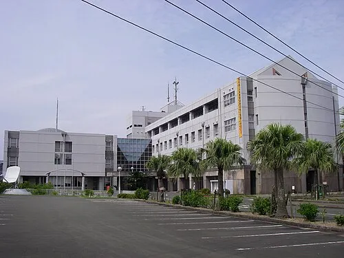
Nishinoomote
Population: 17.8K
Nearby attractions & nature
Everything nearby-
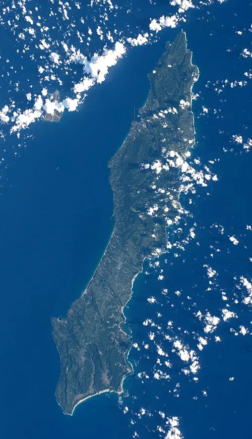 Tanega Shima Island, Nakatane Chō12 km S
-
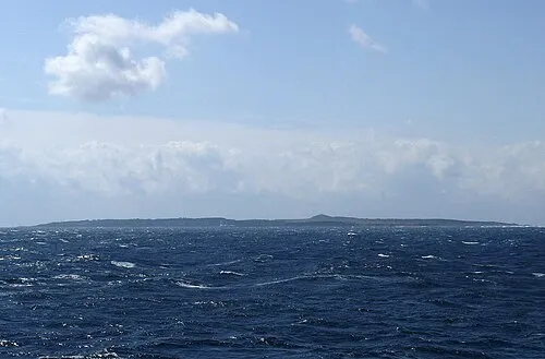 Mage Shima Island, Kagoshima16 km W
Sources & licences
Data last updated: · 2 independent sources