- Elevation
- 0 m
- above sea level
- Local time
- UTC+09:00
- Asia/Tokyo · UTC+09:00
- Airports
- SDJ Sendai Airport68 km
- GAJ Yamagata Airport97 km
About Kitakami River
Kitakami River is a river. Location: Japan. The best months to visit are June–September. The nearest airport is Sendai Airport (68 km).
Climate of Kitakami River
Best months for sightseeingBest months for sightseeing: June–September.
This month · November
Outside the best season
Day 13° · Night 5° · Rain 70 mm
- Hottest month
- August (day 27°)
- Coldest month
- January (night -2°)
- Wettest month
- September (167 mm)
- Driest month
- December (38 mm)
Bars: average monthly low and high temperature. Below: precipitation. Monthly averages for 1970–2000 at about 18 km resolution, adjusted for elevation. Highlighted months are mild and relatively dry. Source: WorldClim 2.1 (CC BY 4.0).
Show values as a table
| Month | Jan | Feb | Mar | Apr | May | Jun | Jul | Aug | Sep | Oct | Nov | Dec |
|---|---|---|---|---|---|---|---|---|---|---|---|---|
| Average high (°C) | 5° | 5° | 8° | 13° | 18° | 21° | 25° | 27° | 23° | 18° | 13° | 7° |
| Average low (°C) | -2° | -2° | 0° | 5° | 10° | 15° | 19° | 21° | 17° | 10° | 5° | 0° |
| Precipitation (mm) | 39 | 50 | 72 | 104 | 111 | 126 | 142 | 140 | 167 | 122 | 70 | 38 |
Other places to visit in this season: June July August September
How to get to Kitakami River
The nearest airport is Sendai Airport (SDJ), 68 km to the southwest as the crow flies. The nearest large city is Ishinomaki, 23 km to the southwest.
Airports
- Sendai Airport (SDJ) Natori 68 kmsouthwest
- Yamagata Airport (GAJ) Higashine 97 kmwest
- Iwate Hanamaki Airport (HNA) Hanamaki 99 kmnorth
Nearby large cities
- Ishinomaki Population: 140.2K 23 kmsouthwest
- Ōsaki Population: 128.8K 43 kmwest
- Ichinoseki Population: 114.5K 47 kmnorthwest
- Sendai Population: 1.1M 62 kmsouthwest
- Ōshū Population: 112.9K 67 kmnorth
Straight-line distances; road distances are longer. Airport data: OurAirports.
Day trips from Kitakami River
Within 100 km: 3 historic and cultural sites, 3 natural sites, 15 lakes, rivers and coasts.
0–25 km1 place
- Kitakami-gawa River 1 kmNW
25–60 km12 places
- Miyago Jima Island 38 kmSW
- Tashiro Jima Island 31 kmS
- Tsuki Shima Island 38 kmSW
- Naruse River River 33 kmSW
60–100 km8 places
- Waga River River 83 kmN
- Natori Gawa River 63 kmSW
- Sarugaishi River River 96 kmN
- Kinu Gawa River 94 kmN
Straight-line distances.
Nearest towns and villages
-
Minamisanriku Chō Municipality, Motoyoshi Gun12 km N
-
Minamisanriku Town, Minamisanriku Chō11 km N
-
Ogatsuchō-ogatsu Village, Ishinomaki Shi6.5 km S
-
Onagawa Chō City, Oshika Gun14 km S
-
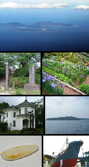 Ishinomaki City, Ishinomaki Shi23 km SW
-
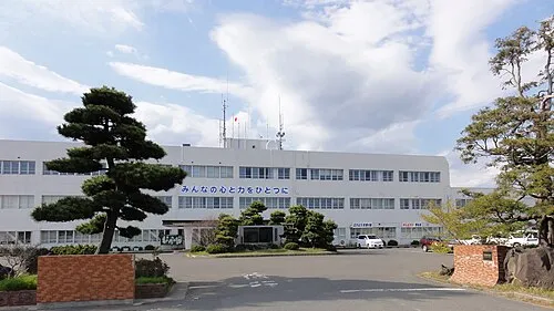 Higashimatsushima City, Higashimatsushima Shi31 km SW
More lakes, rivers and coasts in Japan
-
Kitakami-gawa River, Japan0.8 km NW
-
 Miyago Jima Island, Miyagi38 km SW
-
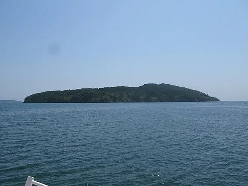 Tashiro Jima Island, Miyagi31 km S
-
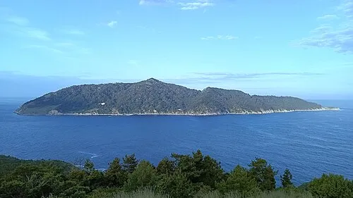 Kinkasan Island, Miyagi33 km S
-
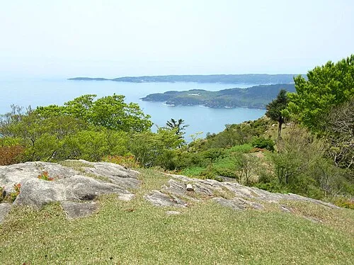 Aji Island Island, Miyagi34 km S
-
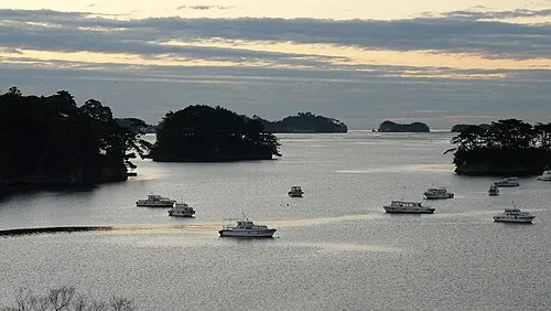 Matsushima Guntō Island, Miyagi42 km SW
Sources & licences
Data last updated: