- Population
- 3,724
- 3.7K
- Elevation
- 439 m
- above sea level
- Local time
- UTC+09:00
- Asia/Tokyo · UTC+09:00
- Places inside
- 1
- listed under Yusuhara Chō
- Airports
- MYJ Matsuyama Airport52 km
- KCZ Kochi Ryoma Airport71 km
About Yusuhara Chō
Yusuhara Chō is a municipality. Location: Takaoka-gun, Kochi. Population: 3,724. Elevation: 439 m. The best months to visit are May–June, September–October. The nearest airport is Matsuyama Airport (52 km).
Climate of Yusuhara Chō
Best months for sightseeingBest months for sightseeing: May–June, September–October.
This month · November
Outside the best season
Day 15° · Night 7° · Rain 97 mm
Better nearby cities in November
- Kochi · 59 km east18°
- Ōita · 124 km west18°
- Beppu · 133 km west17°
- Hottest month
- August (day 28°)
- Coldest month
- January (night 0°)
- Wettest month
- June (353 mm)
- Driest month
- January (65 mm)
Bars: average monthly low and high temperature. Below: precipitation. Monthly averages for 1970–2000 at about 18 km resolution, adjusted for elevation. Highlighted months are mild and relatively dry. Source: WorldClim 2.1 (CC BY 4.0).
Show values as a table
| Month | Jan | Feb | Mar | Apr | May | Jun | Jul | Aug | Sep | Oct | Nov | Dec |
|---|---|---|---|---|---|---|---|---|---|---|---|---|
| Average high (°C) | 7° | 8° | 12° | 17° | 21° | 24° | 28° | 28° | 25° | 20° | 15° | 10° |
| Average low (°C) | 0° | 0° | 3° | 9° | 13° | 18° | 22° | 22° | 19° | 13° | 7° | 2° |
| Precipitation (mm) | 65 | 97 | 150 | 222 | 246 | 353 | 353 | 194 | 275 | 165 | 97 | 67 |
Other places to visit in this season: May June September October
How to get to Yusuhara Chō
The nearest airport is Matsuyama Airport (MYJ), 52 km to the northwest as the crow flies. The nearest large city is Matsuyama, 51 km to the north.
Airports
- Matsuyama Airport (MYJ) Matsuyama 52 kmnorthwest
- Kochi Ryoma Airport (KCZ) Nankoku 71 kmeast
- Iwakuni Kintaikyo Airport (IWK) Iwakuni 104 kmnorthwest
Nearby large cities
- Matsuyama Population: 511.2K 51 kmnorth
- Kochi Population: 332.1K 59 kmeast
- Saijō Population: 104.8K 63 kmnorth
- Niihama Population: 123.1K 72 kmnortheast
- Imabari Population: 171K 75 kmnorth
Straight-line distances; road distances are longer. Airport data: OurAirports.
Day trips from Yusuhara Chō
Within 100 km: 5 historic and cultural sites, 6 natural sites, 14 lakes, rivers and coasts.
25–60 km7 places
- Ao Island Island 56 kmNW
- Shimanto River River 52 kmS
- Ozu Castle Historic site 38 kmW
- Mount Inamura Mountain 57 kmNE
60–100 km18 places
- Shikoku Island 66 kmNE
- Ōmi Shima Island 95 kmN
- Hashira Island Island 84 kmNW
- Iwai Sima Island 98 kmNW
Straight-line distances.
Places in Yusuhara Chō
1 placeBar: population relative to the most populous place in this list.
Other cities and towns in Takaoka-gun
-
Hidaka Mura Municipality, Takaoka-gun43 km E
-
Sakawa-chō Municipality, Takaoka-gun34 km E
-
Ochi Chō Municipality, Takaoka-gun32 km NE
-
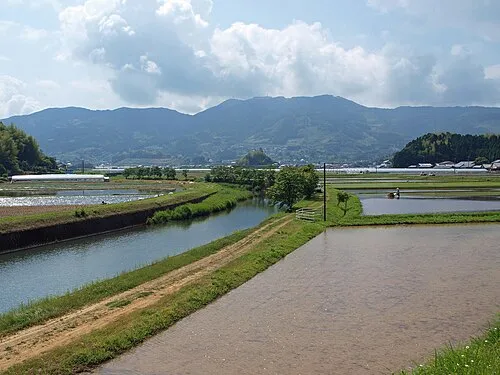 Sakawa Town, Sakawa-chō36 km E
-
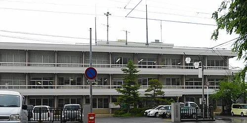 Ochi Town, Ochi Chō34 km NE
Sources & licences
Data last updated: