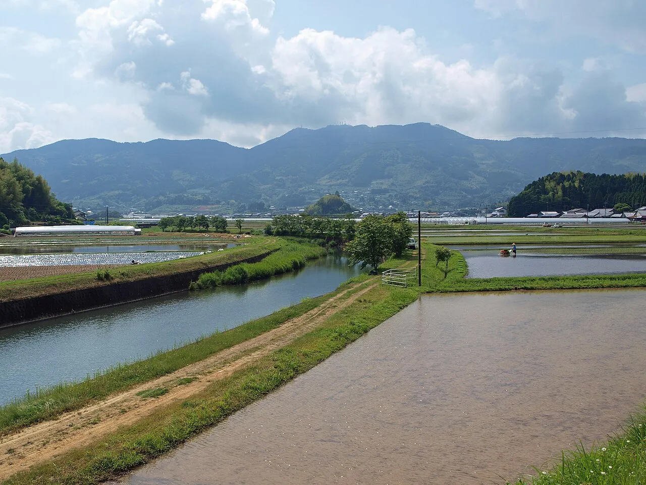
- Elevation
- 799 m
- above sea level
- Local time
- UTC+09:00
- Asia/Tokyo · UTC+09:00
- Places inside
- 7
- listed under Takaoka-gun
- Airports
- KCZ Kochi Ryoma Airport59 km
- MYJ Matsuyama Airport63 km
About Takaoka-gun
Takaoka-gun is a district. Location: Kochi, Japan.
Takaoka (高岡郡, Takaoka-gun) is a district located in Kōchi Prefecture, Japan. As of the Shimanto merger but with 2003 population statistics, the district has an estimated population of 68,854 and a density of 45.1 persons per km2. The total area is 1,527.65 square kilometres (589.83 sq mi).
Source: Wikipedia · CC BY-SA 4.0
At a glance
- Built
- 1879
Source: Wikidata
Climate of Takaoka-gun
Best months for sightseeingBest months for sightseeing: June–September.
This month · November
Outside the best season
Day 13° · Night 5° · Rain 98 mm
Better nearby cities in November
- Kochi · 48 km northeast18°
- Ōita · 138 km west18°
- Beppu · 147 km west17°
- Hottest month
- August (day 26°)
- Coldest month
- January (night -3°)
- Wettest month
- June (351 mm)
- Driest month
- January (58 mm)
Bars: average monthly low and high temperature. Below: precipitation. Monthly averages for 1970–2000 at about 18 km resolution, adjusted for elevation. Highlighted months are mild and relatively dry. Source: WorldClim 2.1 (CC BY 4.0).
Show values as a table
| Month | Jan | Feb | Mar | Apr | May | Jun | Jul | Aug | Sep | Oct | Nov | Dec |
|---|---|---|---|---|---|---|---|---|---|---|---|---|
| Average high (°C) | 5° | 6° | 9° | 15° | 19° | 21° | 25° | 26° | 23° | 18° | 13° | 8° |
| Average low (°C) | -3° | -2° | 1° | 7° | 11° | 15° | 19° | 20° | 17° | 10° | 5° | 0° |
| Precipitation (mm) | 58 | 95 | 149 | 225 | 250 | 351 | 346 | 165 | 284 | 170 | 98 | 63 |
Other places to visit in this season: June July August September
How to get to Takaoka-gun
The nearest airport is Kochi Ryoma Airport (KCZ), 59 km to the east as the crow flies. The nearest large city is Kochi, 48 km to the northeast.
Airports
- Kochi Ryoma Airport (KCZ) Nankoku 59 kmeast
- Matsuyama Airport (MYJ) Matsuyama 63 kmnorthwest
- Iwakuni Kintaikyo Airport (IWK) Iwakuni 117 kmnorthwest
Nearby large cities
- Kochi Population: 332.1K 48 kmnortheast
- Matsuyama Population: 511.2K 61 kmnorthwest
- Saijō Population: 104.8K 64 kmnorth
- Niihama Population: 123.1K 71 kmnorth
- Imabari Population: 171K 80 kmnorth
Straight-line distances; road distances are longer. Airport data: OurAirports.
Places in Takaoka-gun
7 places- 1 Shimanto Chō 18.8K
- 2 Sakawa-chō 13.8K
- 3 Nakatosa Chō 7.7K
- 4 Tsuno Chō 6.4K
- 5 Ochi Chō 6.2K
- 6 Hidaka Mura 5.4K
- 7 Yusuhara Chō 3.7K
Bar: population relative to the most populous place in this list.
Sources & licences
Data last updated: · 2 independent sources