- Population
- 80,254
- 80.3K
- Elevation
- 73 m
- above sea level
- Local time
- UTC+09:00
- Asia/Tokyo · UTC+09:00
- Places inside
- 2
- listed under Nagaokakyō Shi
- Airports
- ITM Osaka Itami International Airport27 km
- UKB Kobe Airport53 km
About Nagaokakyō Shi
Nagaokakyō Shi is a district. Location: Kyoto, Japan. Population: 80,254.
Nagaokakyō (長岡京市, Nagaokakyō-shi) is a city located in Kyoto Prefecture, Japan. As of 1 September 2023, the city has an estimated population of 82,279 in 37718 households and a population density of 4700 persons per km2. The total area of the city is 19.17 square kilometres (7.40 sq mi).
Source: Wikipedia · CC BY-SA 4.0
Places bordering Nagaokakyō Shi
- Kyōto
- Ōyamazaki Chō
- Shimamoto Chō
Population of Nagaokakyō Shi over time
| 2010 | 79,844 | |
|---|---|---|
| 2015 | 80,090 | |
| 2021 | 80,423 |
Censuses and official estimates; source: Wikidata.
Climate of Nagaokakyō Shi
Best months for sightseeingBest months for sightseeing: May, October.
This month · November
Outside the best season
Day 17° · Night 7° · Rain 73 mm
Better nearby cities in November
- Kochi · 250 km southwest18°
- Fujinomiya · 269 km east18°
- Kofu · 275 km east17°
- Hottest month
- August (day 32°)
- Coldest month
- January (night 0°)
- Wettest month
- June (229 mm)
- Driest month
- December (45 mm)
Bars: average monthly low and high temperature. Below: precipitation. Monthly averages for 1970–2000 at about 18 km resolution, adjusted for elevation. Highlighted months are mild and relatively dry. Source: WorldClim 2.1 (CC BY 4.0).
Show values as a table
| Month | Jan | Feb | Mar | Apr | May | Jun | Jul | Aug | Sep | Oct | Nov | Dec |
|---|---|---|---|---|---|---|---|---|---|---|---|---|
| Average high (°C) | 9° | 9° | 13° | 19° | 24° | 27° | 31° | 32° | 28° | 22° | 17° | 11° |
| Average low (°C) | 0° | 1° | 3° | 8° | 13° | 18° | 22° | 23° | 19° | 13° | 7° | 2° |
| Precipitation (mm) | 56 | 69 | 107 | 142 | 149 | 229 | 211 | 142 | 193 | 117 | 73 | 45 |
How to get to Nagaokakyō Shi
The nearest airport is Osaka Itami International Airport (ITM), 27 km to the southwest as the crow flies. The nearest large city is Takatsuki, 11 km to the southwest.
Airports
- Osaka Itami International Airport (ITM) Osaka 27 kmsouthwest
- Kobe Airport (UKB) Kobe 53 kmsouthwest
- Kansai International Airport (KIX) Osaka 68 kmsouthwest
Nearby large cities
- Takatsuki Population: 354.5K 11 kmsouthwest
- Uji Population: 192.9K 12 kmeast
- Hirakata Population: 406.3K 13 kmsouth
- Ibaraki Population: 287.7K 16 kmsouthwest
- Neyagawa Population: 238.5K 19 kmsouth
Straight-line distances; road distances are longer. Airport data: OurAirports.
Places in Nagaokakyō Shi
2 placesKōtari
Population: 80.6K
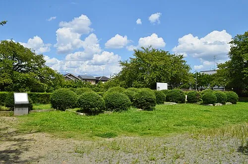
Nearby attractions & nature
Everything nearby-
 Mount Tennōzan Mountain, Ōyamazaki Chō3 km S
-
Katsura River River, Japan3.9 km SE
-
 Saiho-ji Attraction, Nishi-kyō Ku7.1 km N
-
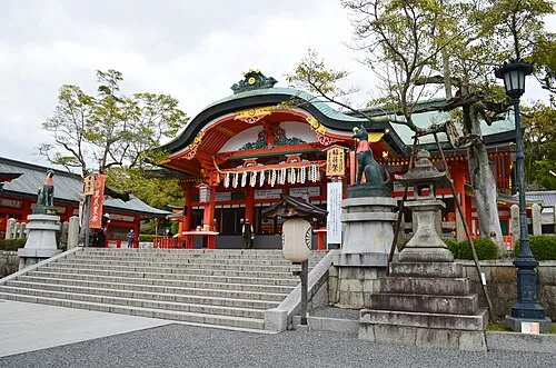 Fushimi Inari-taisha Attraction, Fushimi-ku9.6 km NE
-
Kamo River River, Japan8.3 km NE
-
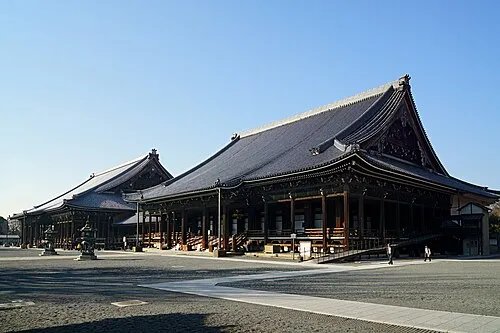 Nishi Hongan Ji Attraction, Shimogyo Ku9.7 km NE
Sources & licences
Data last updated: · 2 independent sources