- Population
- 191,802
- 191.8K
- Elevation
- 157 m
- above sea level
- Local time
- UTC+09:00
- Asia/Tokyo · UTC+09:00
- Places inside
- 1
- listed under Uji
- Airports
- ITM Osaka Itami International Airport37 km
- UKB Kobe Airport62 km
About Uji
Uji is a district. Location: Kyoto, Japan. Population: 191,802.
Climate of Uji
Best months for sightseeingBest months for sightseeing: May–June, October.
Bars: average monthly low and high temperature. Below: precipitation. Monthly averages for 1970–2000 at about 18 km resolution, adjusted for elevation. Highlighted months are mild and relatively dry. Source: WorldClim 2.1 (CC BY 4.0).
Show values as a table
| Month | Jan | Feb | Mar | Apr | May | Jun | Jul | Aug | Sep | Oct | Nov | Dec |
|---|---|---|---|---|---|---|---|---|---|---|---|---|
| Average high (°C) | 8° | 8° | 12° | 18° | 23° | 26° | 30° | 32° | 27° | 21° | 16° | 11° |
| Average low (°C) | 0° | 0° | 2° | 8° | 13° | 17° | 22° | 23° | 19° | 12° | 7° | 2° |
| Precipitation (mm) | 56 | 69 | 107 | 142 | 149 | 229 | 211 | 142 | 193 | 117 | 73 | 45 |
Airports nearest to Uji
- Osaka Itami International Airport (ITM) Osaka 37 km
- Kobe Airport (UKB) Kobe 62 km
- Kansai International Airport (KIX) Osaka 75 km
Straight-line distance; airports with scheduled flights only. Source: OurAirports (public domain).
Places in Uji
1 placeBar: population relative to the most populous place in this list.
Nearby attractions & nature
Everything nearby-
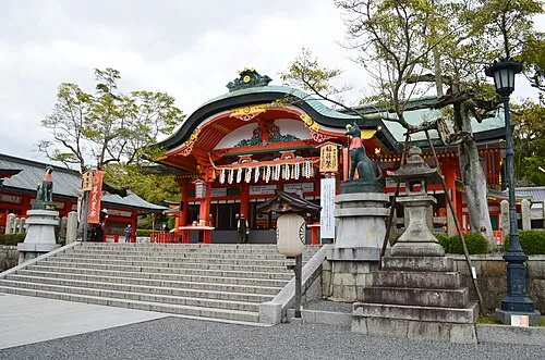 Fushimi Inari-taisha Attraction, Fushimi-ku8.3 km NW
-
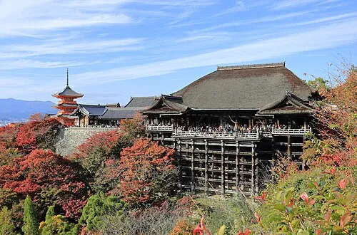 Kiyomizu-dera Attraction, Higashiyama District11 km N
-
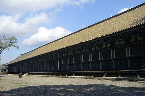 Sanjusangen-do Attraction, Higashiyama District10 km NW
-
Kamo River River, Japan8.9 km NW
-
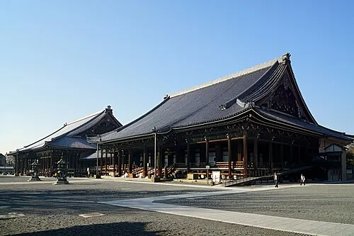 Nishi Hongan Ji Attraction, Shimogyo Ku12 km NW
-
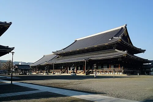 Higashi Hongan Ji Attraction, Shimogyo Ku11 km NW
Sources & licences
Data last updated: