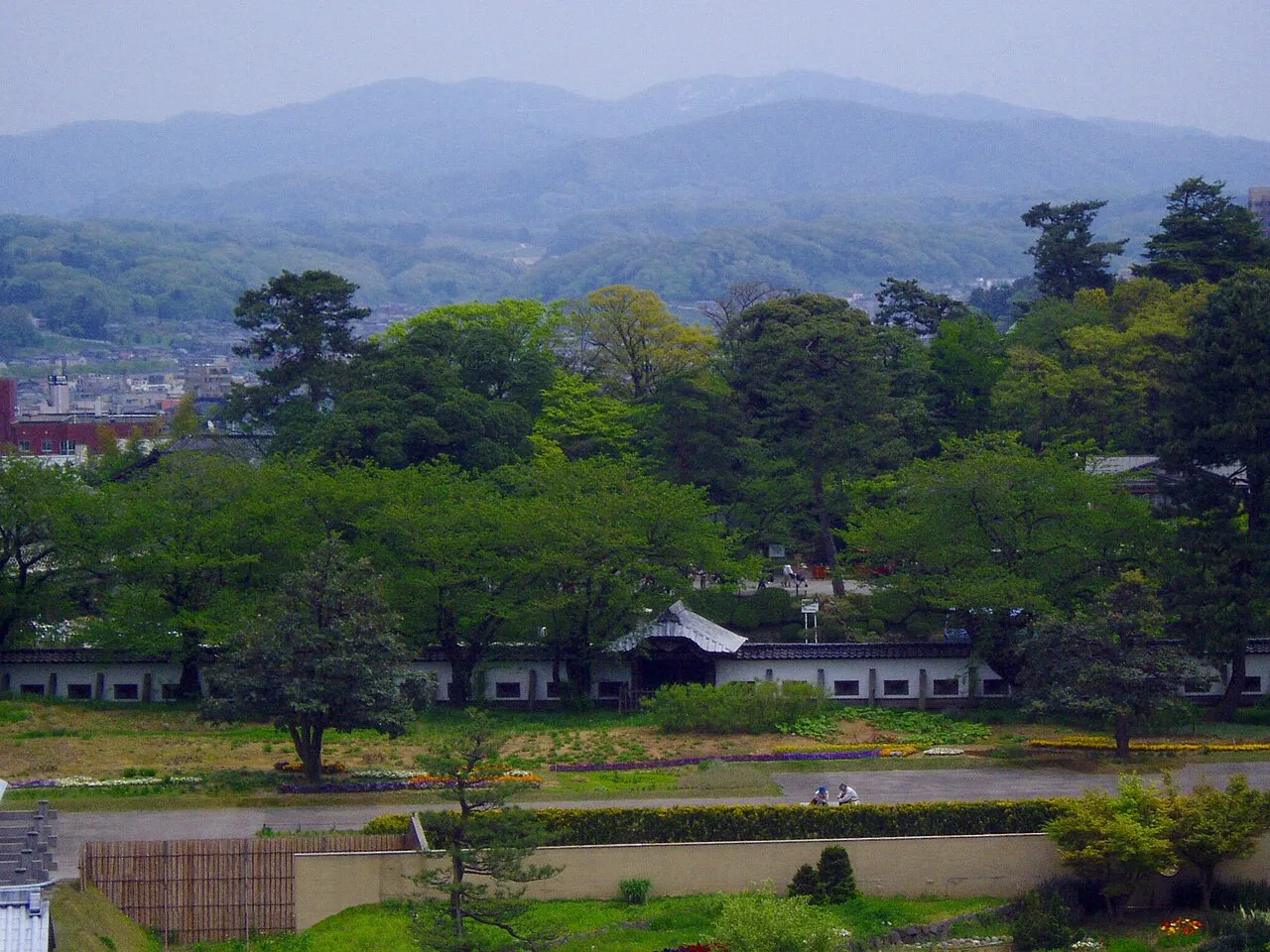
- Elevation
- 939 m
- above sea level
- Local time
- UTC+09:00
- Asia/Tokyo · UTC+09:00
- Airports
- TOY Toyama Kitokito Airport37 km
- KMQ Komatsu Airport / JASDF Komatsu Air Base38 km
About Mount Iō
Mount Iō is a mountain. Location: Japan. Elevation: 939 m.
Mount Iō (医王山, Iō-zen), also Iozen, is a 939-metre (3,081 ft) tall mountain in Japan, on the border of Kanazawa City, Ishikawa and Nanto City, Toyama. In ancient times, the Shugendō religion flourished in this area, and Sozen-ji Temple still retains items associated with Taichō (shugendō monk). Currently, There is a IOX-AROSA Ski Resort on the east side of the mountain.
Read more on Wikipedia Text: Wikipedia contributors · CC BY-SA 4.0 · shortened
Climate of Mount Iō
Best months for sightseeingBest months for sightseeing: July–September.
Bars: average monthly low and high temperature. Below: precipitation. Monthly averages for 1970–2000 at about 18 km resolution, adjusted for elevation. Highlighted months are mild and relatively dry. Source: WorldClim 2.1 (CC BY 4.0).
Show values as a table
| Month | Jan | Feb | Mar | Apr | May | Jun | Jul | Aug | Sep | Oct | Nov | Dec |
|---|---|---|---|---|---|---|---|---|---|---|---|---|
| Average high (°C) | 0° | 0° | 4° | 11° | 16° | 19° | 23° | 24° | 20° | 15° | 9° | 4° |
| Average low (°C) | -6° | -6° | -4° | 1° | 6° | 11° | 16° | 17° | 13° | 6° | 1° | -4° |
| Precipitation (mm) | 179 | 134 | 135 | 140 | 145 | 199 | 222 | 158 | 244 | 157 | 175 | 180 |
Airports nearest to Mount Iō
- Toyama Kitokito Airport (TOY) Toyama 37 km
- Komatsu Airport / JASDF Komatsu Air Base (KMQ) Kanazawa 38 km
- Noto Satoyama Airport (NTQ) Wajima 87 km
Straight-line distance; airports with scheduled flights only. Source: OurAirports (public domain).
Nearest towns and villages
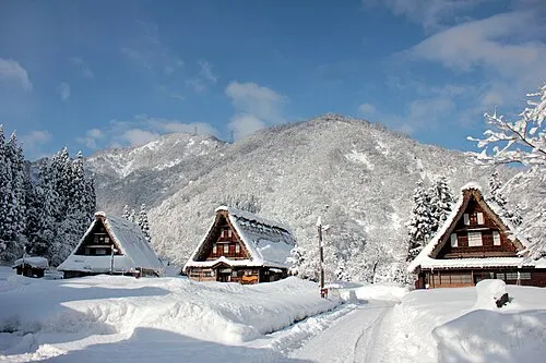
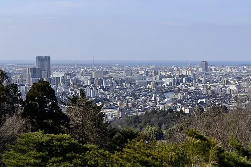
Nearby attractions & nature
Everything nearby-
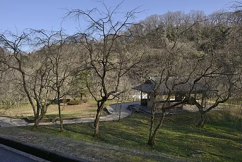 Mount Utatsu Mountain, Kanazawa12 km NW
-
Asano River River, Ishikawa19 km NW
More nature in Japan
-
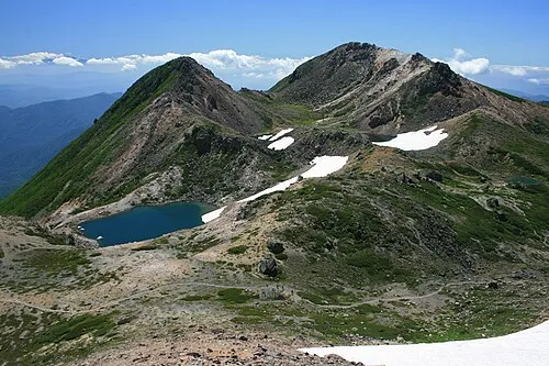 Haku-san Mountain, Hakusan Shi40 km S
-
Betsu-zan Mountain, Shirakawa Mura46 km S
-
Mount Sannomine Mountain, Takayama Shi48 km S
-
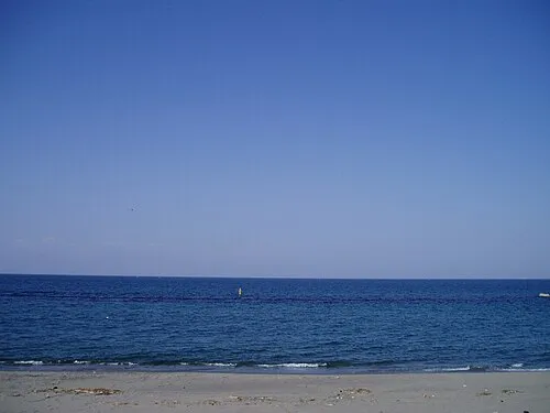 Toyama-wan Natural site, Japan48 km NE
-
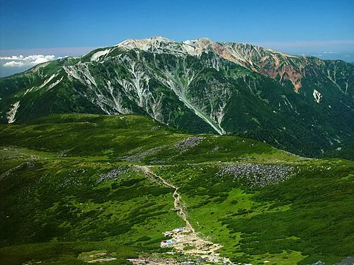 Mount Yakushi Mountain, Toyama Shi67 km E
-
 Mount Kurobegorō Mountain, Takayama Shi68 km E
Sources & licences
Data last updated: · 2 independent sources