- Population
- 9,246
- 9.2K
- Elevation
- 702 m
- above sea level
- Local time
- UTC+09:00
- Asia/Tokyo · UTC+09:00
- Airports
- MMJ Shinshu-Matsumoto Airport59 km
- TOY Toyama Kitokito Airport61 km
About Hakuba
Hakuba is a town. Location: Hakuba Mura, Kitaazumi Gun. Population: 9,246. Elevation: 702 m.
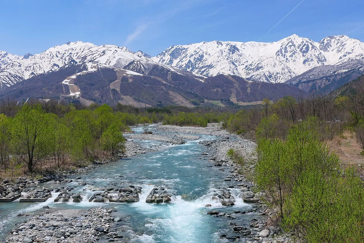
Hakuba (白馬村, Hakuba-mura; HAH-koo-bah) is a village located in Nagano Prefecture, Japan. As of September 2026, the village had an estimated population of 8,167 in 4,269 households and a population density of 48 persons per km2. The total area of the village is 189.36 square kilometres (73.11 sq mi). Hakuba is located in the eastern foothills of the Hida Mountains in the northern part of the Japanese Alps and is a popular ski resort.
Source: Wikipedia · CC BY-SA 4.0
Photos of Hakuba
-

くろふね · CC BY-SA 4.0 -

くろふね · CC BY-SA 4.0 -

Raita Futo from Tokyo, Japan · CC BY 2.0 -

Raita Futo from Tokyo, Japan · CC BY 2.0


Travel notes for Hakuba
From Wikivoyage
Hakuba (白馬村 Hakuba-mura), is a skiing resort in Nagano Prefecture, in Chubu region of Japan.
Understand+
The name Hakuba which means white horse was derived by the shape of a horse of snow on the mountain side during spring time. History shows traders following the famous Salt Road from the Sea of Japan to Matsumoto who would stop in the Hakuba valley overnight to rest.
Tourist information site:
The village an official bilingual guide site.
Get in+
By train:
Hakuba is a stop on the JR Oito Line.
From Shinjuku in Tokyo, there is one daily Super Azusa limited express service that runs to Hakuba. The ride takes 3 hours, 45 minutes and costs ¥8070 each way. There is also an additional Azusa service on certain dates, making the run to Hakuba in about 4 hours.
Otherwise, you will have to take an Azusa or Super Azusa to Matsumoto and take one (possibly two) Oito Line local trains, increasing the journey to 4½ hours.
The fastest route from Tokyo is by Shinkansen (bullet train) from Tokyo Station to Nagano: 105 min/¥8,170. Then by bus from Nagano to Hakuba 65 min/¥1,500. Trains run every half hour or so, buses every hour. Note that the last bus from Nagano Station to Hakuba is 20:30. This whole trip takes just over 2½ hours, ¥9,700 one way.
These trips are useful for Japan Rail Pass holders, or else it is probably cheaper to take the bus.
By bus:
Hakuba-Shinjuku Express (高速バス白馬・安曇野-新宿線). Every two or three hours. Buses run from Shinjuku and stop at several places in the Hakuba region. The trip takes around 4 and a half hours ¥8500 round-trip for adults, half off for children. (updated Jul 2016)
Nagano-Hakuba Express (特急バス長野-白馬線). Every hour during ski season. Buses from Nagano to Hakuba. The journey takes just over an hour. ¥1400 for adults, ¥700 for children. (updated Jul 2016)
Nagano Snow Shuttle, ☏ +81 261-75-5360. Operates in the winter season. Daily service from Narita Airport to Hakuba. (updated Jul 2016)
Source: Wikivoyage · CC BY-SA 4.0 · abridged
Places bordering Hakuba
- Otari Mura
- Nagano
- Ōmachi-shi
- Ogawa Mura
- Kurobe-shi
- Asahi Machi
- Itoigawa
Population of Hakuba over time
| 2010 | 9,205 | |
|---|---|---|
| 2015 | 8,929 | |
| 2021 | 8,621 |
Censuses and official estimates; source: Wikidata.
Climate of Hakuba
Best months for sightseeingBest months for sightseeing: May–July, September.
This month · November
A cold month
Day 11° · Night 2° · Rain 91 mm
Better nearby cities in November
- Kofu · 131 km southeast17°
- Fujinomiya · 178 km southeast18°
- Fuji · 186 km southeast20°
- Hottest month
- August (day 28°)
- Coldest month
- January (night -7°)
- Wettest month
- September (198 mm)
- Driest month
- February (75 mm)
Bars: average monthly low and high temperature. Below: precipitation. Monthly averages for 1970–2000 at about 18 km resolution, adjusted for elevation. Highlighted months are mild and relatively dry. Source: WorldClim 2.1 (CC BY 4.0).
Show values as a table
| Month | Jan | Feb | Mar | Apr | May | Jun | Jul | Aug | Sep | Oct | Nov | Dec |
|---|---|---|---|---|---|---|---|---|---|---|---|---|
| Average high (°C) | 2° | 2° | 6° | 14° | 20° | 23° | 26° | 28° | 23° | 17° | 11° | 5° |
| Average low (°C) | -7° | -7° | -4° | 3° | 8° | 14° | 18° | 19° | 15° | 8° | 2° | -4° |
| Precipitation (mm) | 82 | 75 | 91 | 103 | 114 | 173 | 191 | 157 | 198 | 121 | 91 | 75 |
Other places to visit in this season: May June July September
How to get to Hakuba
The nearest airport is Shinshu-Matsumoto Airport (MMJ), 59 km to the south as the crow flies. The nearest large city is Nagano, 29 km to the east.
Airports
- Shinshu-Matsumoto Airport (MMJ) Matsumoto 59 kmsouth
- Toyama Kitokito Airport (TOY) Toyama 61 kmwest
- Noto Satoyama Airport (NTQ) Wajima 104 kmnorthwest
Nearby large cities
- Nagano Population: 372.8K 29 kmeast
- Ueda Population: 157.5K 50 kmsoutheast
- Matsumoto Population: 241.1K 52 kmsouth
- Toyama Population: 415.8K 58 kmwest
- Jōetsu Population: 189.4K 60 kmnortheast
Straight-line distances; road distances are longer. Airport data: OurAirports.
Day trips from Hakuba
Within 100 km: 2 historic and cultural sites, 51 natural sites, 15 lakes, rivers and coasts.
0–25 km7 places
- Lake Kizaki Lake 15 kmS
- Mount Tsurugi Mountain 23 kmW
- Mount Shirouma Mountain 11 kmNW
- Mount Amakazari Mountain 24 kmN
25–60 km29 places
- Mount Kusatsu-Shirane Mountain 60 kmE
- Lake Nojiri Lake 35 kmNE
- Mount Myōkō Mountain 31 kmNE
- Mount Kurohime Mountain 28 kmNE
60–100 km32 places
- Honshu Island 78 kmS
- Chausu-yama Mountain 98 kmS
- Takama Yama Mountain 75 kmE
- Mount Ogura Mountain 100 kmSE
Straight-line distances.
Nearby attractions & nature
Everything nearby-
Higashi Yama Mountain, Nagano Shi5.2 km E
-
 Mount Shirouma Mountain, Hakuba Mura11 km NW
-
 Lake Kizaki Lake, Japan15 km S
-
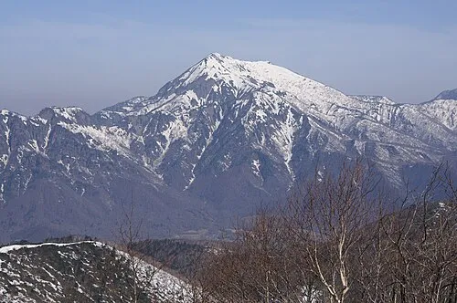 Takatsuma Yama Mountain, Myoko-shi20 km NE
-
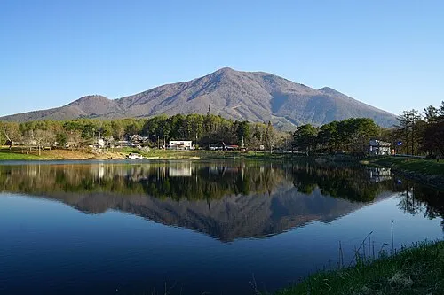 Mount Iizuna Mountain, Nagano Shi25 km E
-
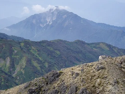 Mount Amakazari Mountain, Itoigawa Shi24 km N
-
 Mount Tsurugi Mountain, Japan23 km W
Sources & licences
Data last updated: · 2 independent sources