- Elevation
- 4 m
- above sea level
- Local time
- UTC+09:00
- Asia/Tokyo · UTC+09:00
- Airports
- FUJ Fukue Airport83 km
- NGS Nagasaki Airport175 km
About Danjo Archipelago
Danjo Archipelago is an island. Location: Nagasaki, Japan.
The Danjo Islands (男女群島, Danjo-guntō; literally: "male and female archipelago") are a small uninhabited Japanese island group in the East China Sea situated approximately 70 kilometres (43 mi) south-southwest of the Gotō Islands and administratively part of the city of Gotō, Nagasaki Prefecture.
Read more on Wikipedia Text: Wikipedia contributors · CC BY-SA 4.0 · shortened
At a glance
- Heritage designation
- Natural Monument of Japan
Source: Wikidata
Climate of Danjo Archipelago
Best months for sightseeingBest months for sightseeing: May–June, October.
Bars: average monthly low and high temperature. Below: precipitation. Monthly averages for 1970–2000 at about 18 km resolution, adjusted for elevation. Highlighted months are mild and relatively dry. Source: WorldClim 2.1 (CC BY 4.0).
Show values as a table
| Month | Jan | Feb | Mar | Apr | May | Jun | Jul | Aug | Sep | Oct | Nov | Dec |
|---|---|---|---|---|---|---|---|---|---|---|---|---|
| Average high (°C) | 12° | 12° | 15° | 18° | 22° | 24° | 28° | 29° | 27° | 23° | 19° | 14° |
| Average low (°C) | 7° | 7° | 10° | 13° | 17° | 20° | 25° | 25° | 23° | 19° | 14° | 10° |
| Precipitation (mm) | 115 | 122 | 154 | 235 | 262 | 363 | 295 | 232 | 235 | 107 | 127 | 103 |
Airports nearest to Danjo Archipelago
- Fukue Airport (FUJ) Goto 83 km
- Nagasaki Airport (NGS) Nagasaki 175 km
- Amakusa Airport (AXJ) Amakusa 175 km
Straight-line distance; airports with scheduled flights only. Source: OurAirports (public domain).
More lakes, rivers and coasts in Japan
-
Goto Group Island, Shinkamigotō Chō108 km NE
-
 Ha-shima Island, Nagasaki145 km NE
-
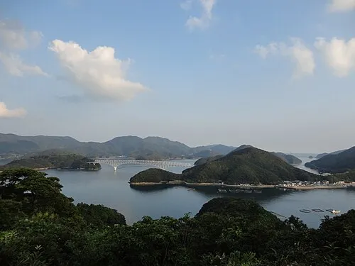 Wakamatsu Island Island, Nagasaki113 km NE
-
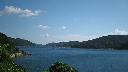 Naru Island Island, Nagasaki105 km NE
-
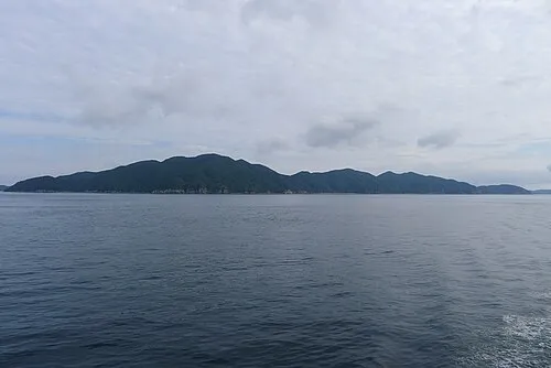 Hisaka Jima Island, Nagasaki97 km NE
-
Fukue Island Island, Gotō Shi81 km NE
Sources & licences
Data last updated: · 2 independent sources