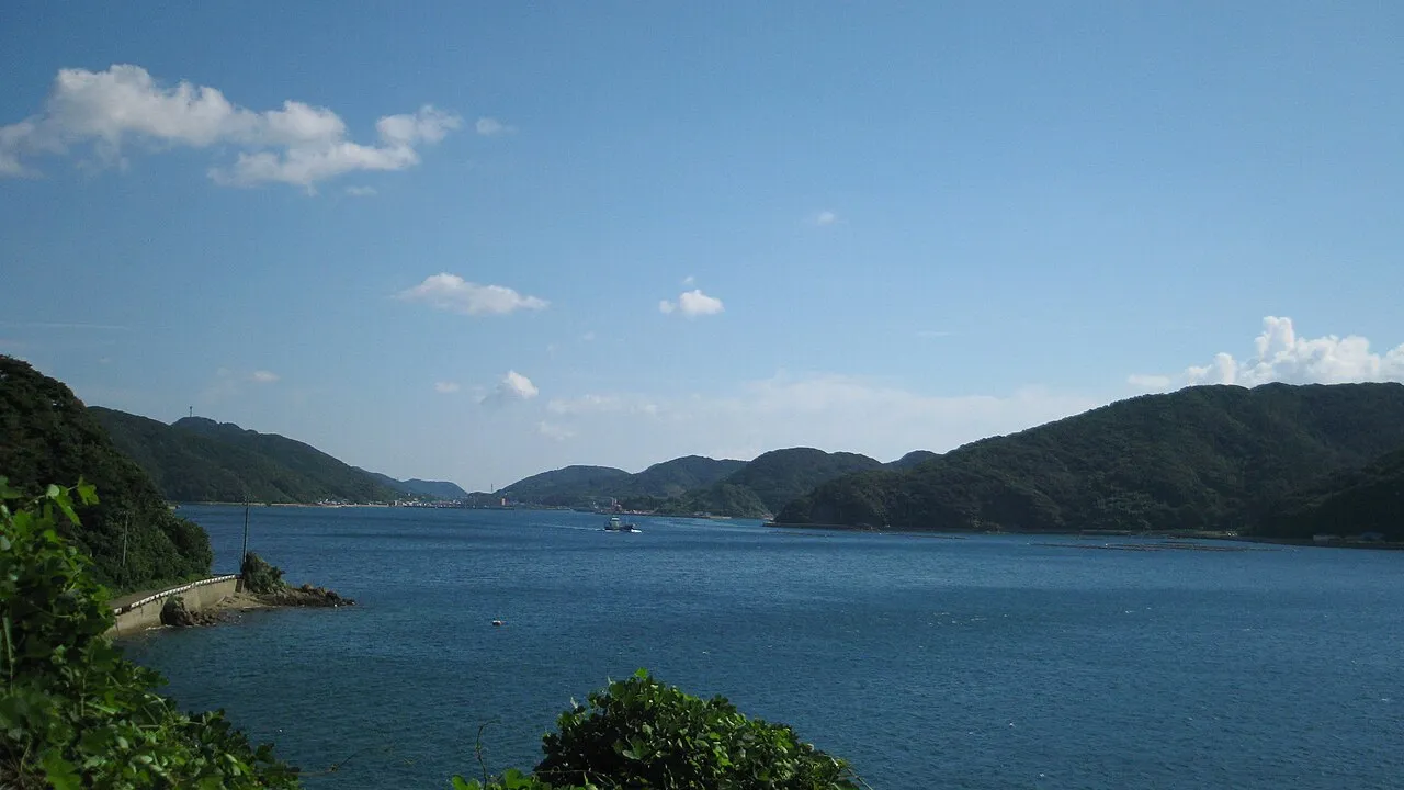
- Elevation
- 29 m
- above sea level
- Local time
- UTC+09:00
- Asia/Tokyo · UTC+09:00
- Airports
- FUJ Fukue Airport23 km
- NGS Nagasaki Airport92 km
About Naru Island
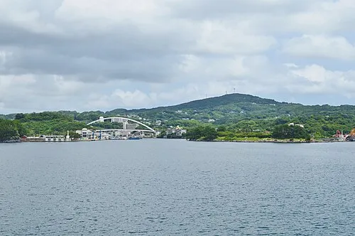
Naru Island is an island. Location: Nagasaki, Japan.
Naru Island (奈留島, Naru-shima) is one of the Gotō Islands in Japan. It is part of the city of Gotō in Nagasaki Prefecture. The island is home to Egami Church, the Shirotake Observatory, and a ferry port servicing travel to and from Nagasaki. Naru Island's history has been defined by its fishery, as well as its role in providing sanctuary for the Hidden Christians fleeing Tokugawa persecution. The island has several churches, built by missionaries.
Source: Wikipedia · CC BY-SA 4.0
Climate of Naru Island
Best months for sightseeingBest months for sightseeing: May–June, October.
This month · November
A wet month
Day 18° · Night 11° · Rain 113 mm
Better nearby cities in November
- Kagoshima · 209 km southeast19°
- Kirishima · 212 km southeast19°
- Miyakonojō · 236 km southeast18°
- Hottest month
- August (day 30°)
- Coldest month
- January (night 5°)
- Wettest month
- June (329 mm)
- Driest month
- December (94 mm)
Bars: average monthly low and high temperature. Below: precipitation. Monthly averages for 1970–2000 at about 18 km resolution, adjusted for elevation. Highlighted months are mild and relatively dry. Source: WorldClim 2.1 (CC BY 4.0).
Show values as a table
| Month | Jan | Feb | Mar | Apr | May | Jun | Jul | Aug | Sep | Oct | Nov | Dec |
|---|---|---|---|---|---|---|---|---|---|---|---|---|
| Average high (°C) | 10° | 11° | 14° | 18° | 21° | 24° | 28° | 30° | 27° | 22° | 18° | 13° |
| Average low (°C) | 5° | 5° | 7° | 11° | 15° | 19° | 23° | 24° | 21° | 16° | 11° | 7° |
| Precipitation (mm) | 96 | 106 | 152 | 238 | 239 | 329 | 284 | 210 | 260 | 104 | 113 | 94 |
How to get to Naru Island
The nearest airport is Fukue Airport (FUJ), 23 km to the southwest as the crow flies. For international flights: Nagasaki Airport (NGS) (92 km). The nearest large city is Sasebo, 82 km to the northeast.
Airports
- Fukue Airport (FUJ) Goto 23 kmsouthwest
- Nagasaki Airport (NGS) Nagasaki 92 kmeast
- Amakusa Airport (AXJ) Amakusa 122 kmeast
Nearby large cities
- Sasebo Population: 243.2K 82 kmnortheast
- Nagasaki Population: 409.1K 90 kmeast
- Isahaya Population: 135.5K 104 kmeast
- Karatsu Population: 117.7K 117 kmnortheast
- Saga Population: 233.3K 134 kmeast
Straight-line distances; road distances are longer. Airport data: OurAirports.
Nearest towns and villages
-
Shinkamigotō Chō Municipality, Minamimatsuura Gun17 km NE
-
Fukuechō Town, Gotō Shi19 km SW
-
Arikawa-chō Village, Nagasaki25 km NE
-
Kamigotō Town, Shinkamigotō Chō20 km NE
-
Gotō City, Gotō Shi22 km SW
-
Ojika Village, Nagasaki39 km N
Nearby attractions & nature
Everything nearby-
Goto Group Island, Shinkamigotō Chō3.5 km E
-
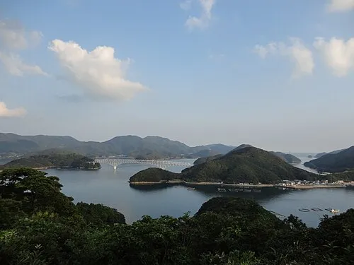 Wakamatsu Island Island, Nagasaki7.8 km NE
-
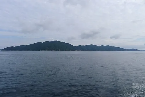 Hisaka Jima Island, Nagasaki8.3 km SW
-
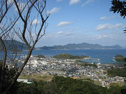 Nakadōri Jima Island, Nagasaki17 km NE
More lakes, rivers and coasts in Japan
-
Fukue Island Island, Gotō Shi25 km SW
-
 Iki Island Island, Nagasaki127 km NE
-
Hario Jima Island, Nagasaki83 km E
-
 Ha-shima Island, Nagasaki79 km E
-
Ike-jima Island, Nagasaki Shi62 km E
-
Iō Jima Island, Nagasaki81 km E
Sources & licences
Data last updated: · 2 independent sources