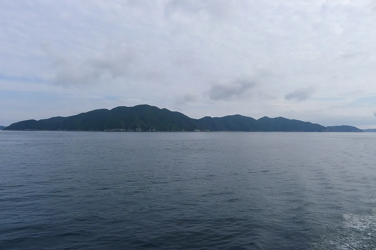
- Elevation
- -1 m
- above sea level
- Local time
- UTC+09:00
- Asia/Tokyo · UTC+09:00
- Airports
- FUJ Fukue Airport15 km
- NGS Nagasaki Airport98 km
About Hisaka Jima
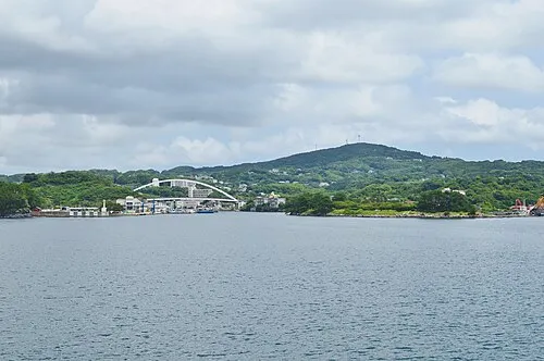
Hisaka Jima is an island. Location: Nagasaki, Japan.
Hisaka Island (久賀島, Hisaka-jima) is one of the Gotō Islands in Japan. The island is part of the city of Gotō in the Nagasaki Prefecture. It covers an area of 37.35 square kilometres (14.42 sq mi) and has a population of 330.
Source: Wikipedia · CC BY-SA 4.0
At a glance
- Heritage designation
- part of UNESCO World Heritage Site, Important Cultural Landscapes
- Area
- 37.3 km²
Source: Wikidata
Climate of Hisaka Jima
Best months for sightseeingBest months for sightseeing: May–June, October.
This month · November
A wet month
Day 18° · Night 11° · Rain 119 mm
Better nearby cities in November
- Kagoshima · 209 km southeast19°
- Kirishima · 213 km southeast19°
- Miyakonojō · 238 km southeast18°
- Hottest month
- August (day 30°)
- Coldest month
- January (night 5°)
- Wettest month
- June (339 mm)
- Driest month
- December (96 mm)
Bars: average monthly low and high temperature. Below: precipitation. Monthly averages for 1970–2000 at about 18 km resolution, adjusted for elevation. Highlighted months are mild and relatively dry. Source: WorldClim 2.1 (CC BY 4.0).
Show values as a table
| Month | Jan | Feb | Mar | Apr | May | Jun | Jul | Aug | Sep | Oct | Nov | Dec |
|---|---|---|---|---|---|---|---|---|---|---|---|---|
| Average high (°C) | 11° | 11° | 14° | 18° | 22° | 25° | 29° | 30° | 27° | 23° | 18° | 13° |
| Average low (°C) | 5° | 5° | 7° | 11° | 15° | 19° | 23° | 24° | 21° | 16° | 11° | 7° |
| Precipitation (mm) | 103 | 114 | 156 | 245 | 249 | 339 | 300 | 215 | 251 | 105 | 119 | 96 |
How to get to Hisaka Jima
The nearest airport is Fukue Airport (FUJ), 15 km to the south as the crow flies. For international flights: Nagasaki Airport (NGS) (98 km). The nearest large city is Sasebo, 90 km to the northeast.
Airports
- Fukue Airport (FUJ) Goto 15 kmsouth
- Nagasaki Airport (NGS) Nagasaki 98 kmeast
- Amakusa Airport (AXJ) Amakusa 125 kmeast
Nearby large cities
- Sasebo Population: 243.2K 90 kmnortheast
- Nagasaki Population: 409.1K 95 kmeast
- Isahaya Population: 135.5K 110 kmeast
- Karatsu Population: 117.7K 125 kmnortheast
- Saga Population: 233.3K 142 kmeast
Straight-line distances; road distances are longer. Airport data: OurAirports.
Nearest towns and villages
-
Fukuechō Town, Gotō Shi11 km S
-
Gotō City, Gotō Shi14 km SW
-
Shinkamigotō Chō Municipality, Minamimatsuura Gun25 km NE
-
Arikawa-chō Village, Nagasaki33 km NE
-
Kamigotō Town, Shinkamigotō Chō28 km NE
-
Ojika Village, Nagasaki46 km NE
Nearby attractions & nature
Everything nearby-
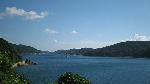 Naru Island Island, Nagasaki8.3 km NE
-
Goto Group Island, Shinkamigotō Chō11 km NE
-
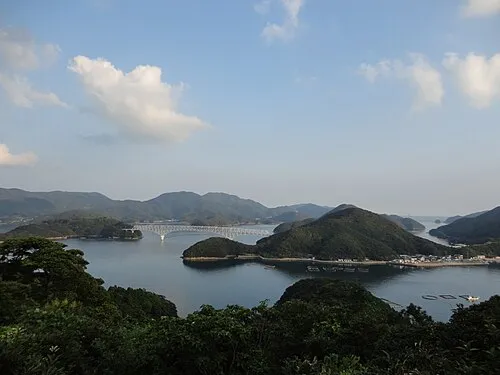 Wakamatsu Island Island, Nagasaki16 km NE
-
Fukue Island Island, Gotō Shi17 km SW
More lakes, rivers and coasts in Japan
-
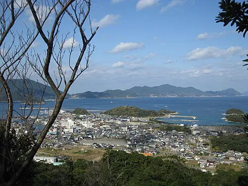 Nakadōri Jima Island, Nagasaki26 km NE
-
 Iki Island Island, Nagasaki136 km NE
-
Hario Jima Island, Nagasaki91 km NE
-
 Ha-shima Island, Nagasaki83 km E
-
Ike-jima Island, Nagasaki Shi69 km E
-
Iō Jima Island, Nagasaki85 km E
Sources & licences
Data last updated: · 2 independent sources