Yaese
Local name: 八重瀬町
Located in Yaese Town, Shimajiri-gun Coordinates: 26°07′38″ N 127°44′36″ E
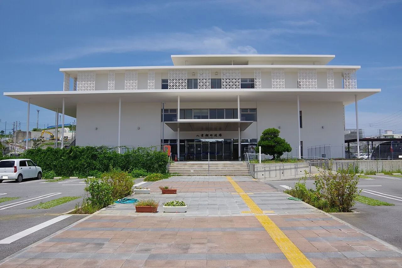
- Population
- 30,941
- 30.9K
- Elevation
- 62 m
- above sea level
- Local time
- UTC+09:00
- Asia/Tokyo · UTC+09:00
- Airports
- OKA Naha International Airport13 km
- UEO Kumejima Airport106 km
About Yaese
Yaese is a town. Location: Yaese Town, Shimajiri-gun. Population: 30,941. Elevation: 62 m.
Yaese (八重瀬町, Yaese-chō; Okinawan: Eeji) is a town located in Shimajiri District, Okinawa Prefecture, Japan. Yaese was formed on January 1, 2006 by a merger between the town of Kochinda and the village of Gushikami. As of April 30, 2024, Yaese has a population of 32,976, with a population density of 1,200 persons per km2. The total area of the town of Yaese is 26.96 square kilometres (10.41 mi2). Yaese Town is host to the Tomori Shīsā, considered the oldest stone shīsā conserved.
Source: Wikipedia · CC BY-SA 4.0
Photos of Yaese
-

Kugel~commonswiki · CC BY-SA 4.0 -

Kugel~commonswiki · CC BY-SA 4.0 -

LucaPknight · CC BY-SA 4.0 -

Lequios-star · CC BY-SA 4.0


Places bordering Yaese
- Haebaru Chō
- Nanjō
- Itoman
- Tomigusuku-shi
Population of Yaese over time
| 2010 | 26,681 | |
|---|---|---|
| 2015 | 29,066 | |
| 2021 | 30,974 |
Censuses and official estimates; source: Wikidata.
Climate of Yaese
Best months for sightseeingBest months for sightseeing: November–May.
This month · November
A good month to visit
Day 24° · Night 20° · Rain 131 mm
- Hottest month
- July (day 31°)
- Coldest month
- February (night 14°)
- Wettest month
- August (246 mm)
- Driest month
- December (108 mm)
Bars: average monthly low and high temperature. Below: precipitation. Monthly averages for 1970–2000 at about 18 km resolution, adjusted for elevation. Highlighted months are mild and relatively dry. Source: WorldClim 2.1 (CC BY 4.0).
Show values as a table
| Month | Jan | Feb | Mar | Apr | May | Jun | Jul | Aug | Sep | Oct | Nov | Dec |
|---|---|---|---|---|---|---|---|---|---|---|---|---|
| Average high (°C) | 19° | 19° | 21° | 24° | 26° | 29° | 31° | 31° | 30° | 27° | 24° | 21° |
| Average low (°C) | 15° | 14° | 16° | 19° | 21° | 24° | 26° | 26° | 25° | 23° | 20° | 16° |
| Precipitation (mm) | 124 | 128 | 172 | 186 | 241 | 229 | 172 | 246 | 200 | 173 | 131 | 108 |
Other places to visit in this season: January February March April May November December
How to get to Yaese
The nearest airport is Naha International Airport (OKA), 13 km to the northwest as the crow flies. The nearest large city is Naha, 11 km to the northwest.
Airports
- Naha International Airport (OKA) Naha 13 kmnorthwest
- Kumejima Airport (UEO) Kumejima 106 kmwest
- Yoron Airport (RNJ) Yoron 121 kmnortheast
Nearby large cities
- Naha Population: 317.6K 11 kmnorthwest
- Urasoe Population: 115.7K 15 kmnorth
- Ginowan Population: 100.1K 15 kmnorth
- Okinawa Population: 142.8K 24 kmnorth
- Uruma Population: 125.3K 30 kmnortheast
Straight-line distances; road distances are longer. Airport data: OurAirports.
Day trips from Yaese
Within 100 km: 1 historic or cultural site, 9 natural sites, 18 lakes, rivers and coasts.
0–25 km4 places
- Kokuba Gawa River 9 kmNW
- Shuri Castle Historic site 10 kmN
- Tsuken Jima Island 24 kmNE
- Nakagusuku Bay Natural site 18 kmNE
25–60 km15 places
- Okinawa Island 47 kmNE
- Kerama Islands Island 42 kmW
- Zamami Island Island 45 kmW
- Aka Island Island 47 kmW
60–100 km9 places
- Iejima Island Island 66 kmN
- Okinawa Islands Island 69 kmNE
- Izena Jima Island 92 kmN
- Irisuna-jima Island 70 kmNW
Straight-line distances.
Nearby attractions & nature
Everything nearby-
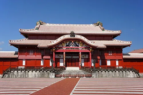 Shuri Castle Historic site, Naha Shi10 km N
-
Kokuba Gawa River, Okinawa9.3 km NW
-
Tsuken Jima Island, Okinawa24 km NE
-
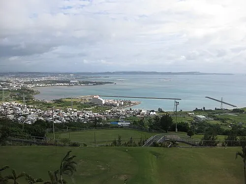 Nakagusuku Bay Natural site, Okinawa18 km NE
Sources & licences
Data last updated: · 2 independent sources