- Population
- 127,638
- 127.6K
- Elevation
- 5 m
- above sea level
- Local time
- UTC+09:00
- Asia/Tokyo · UTC+09:00
- Places inside
- 1
- listed under Kadoma Shi
- Airports
- ITM Osaka Itami International Airport15 km
- UKB Kobe Airport36 km
About Kadoma Shi
Kadoma Shi is a district. Location: Osaka, Japan. Population: 127,638.
Kadoma (門真市, Kadoma-shi) is a city located in Osaka Prefecture, Japan. As of 1 September 2024, the city had an estimated population of 116,511 in 64301 households and a population density of 9680 persons per km2. The total area of the city is 12.30 square kilometres (4.75 sq mi).
Source: Wikipedia · CC BY-SA 4.0
Places bordering Kadoma Shi
- Moriguchi
- Neyagawa
- Daitō
Twin towns and sister cities of Kadoma Shi
- Eindhoven Municipality· The Netherlands
Source: Wikidata. Only places with a page on this site are shown.
Population of Kadoma Shi over time
| 2010 | 130,282 | |
|---|---|---|
| 2015 | 123,576 | |
| 2021 | 118,319 |
Censuses and official estimates; source: Wikidata.
Climate of Kadoma Shi
Best months for sightseeingBest months for sightseeing: May, October.
This month · November
Outside the best season
Day 18° · Night 8° · Rain 69 mm
Better nearby cities in November
- Kochi · 231 km southwest18°
- Fujinomiya · 280 km east18°
- Fuji · 285 km east20°
- Hottest month
- August (day 33°)
- Coldest month
- January (night 1°)
- Wettest month
- June (215 mm)
- Driest month
- December (37 mm)
Bars: average monthly low and high temperature. Below: precipitation. Monthly averages for 1970–2000 at about 18 km resolution, adjusted for elevation. Highlighted months are mild and relatively dry. Source: WorldClim 2.1 (CC BY 4.0).
Show values as a table
| Month | Jan | Feb | Mar | Apr | May | Jun | Jul | Aug | Sep | Oct | Nov | Dec |
|---|---|---|---|---|---|---|---|---|---|---|---|---|
| Average high (°C) | 10° | 10° | 14° | 20° | 25° | 28° | 31° | 33° | 29° | 23° | 18° | 12° |
| Average low (°C) | 1° | 1° | 4° | 9° | 14° | 19° | 23° | 24° | 20° | 14° | 8° | 3° |
| Precipitation (mm) | 45 | 60 | 100 | 133 | 143 | 215 | 172 | 111 | 183 | 113 | 69 | 37 |
How to get to Kadoma Shi
The nearest airport is Osaka Itami International Airport (ITM), 15 km to the west as the crow flies. The nearest large city is Kadoma, 2 km to the west.
Airports
- Osaka Itami International Airport (ITM) Osaka 15 kmwest
- Kobe Airport (UKB) Kobe 36 kmwest
- Kansai International Airport (KIX) Osaka 47 kmsouthwest
Nearby large cities
- Kadoma Population: 131.7K 2 kmwest
- Daitō Population: 119.4K 3 kmsoutheast
- Moriguchi Population: 143.1K 3 kmwest
- Neyagawa Population: 238.5K 5 kmnortheast
- Higashiosaka Population: 493.9K 7 kmsouth
Straight-line distances; road distances are longer. Airport data: OurAirports.
Places in Kadoma Shi
1 place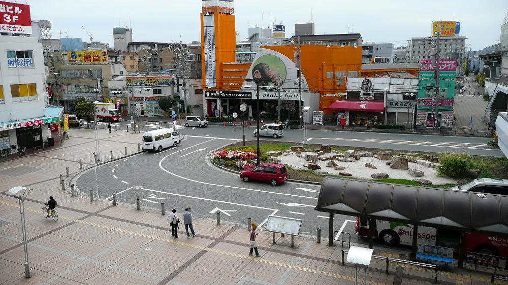
Kadoma
Population: 131.7K
Nearby attractions & nature
Everything nearby-
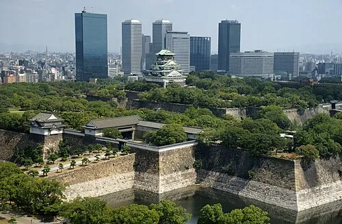 Osaka Castle Historic site, Chūō Ku8.4 km SW
-
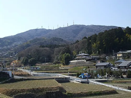 Ikoma Yama Mountain, Ikoma-shi9.3 km SE
-
 National Museum of Ethnology Museum, Suita Shi11 km NW
-
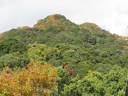 Mount Shigi Mountain, Heguri-chō15 km SE
-
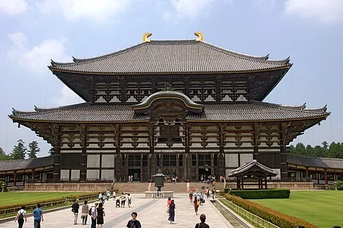 Tōdai-ji Attraction, Nara-shi23 km E
-
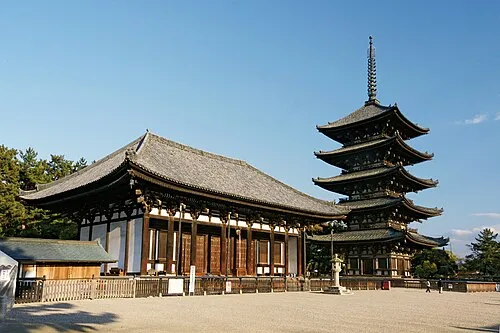 Koofukuji Attraction, Nara-shi22 km E
Sources & licences
Data last updated: · 2 independent sources