- Population
- 841,966
- 842K
- Elevation
- 31 m
- above sea level
- Local time
- UTC+09:00
- Asia/Tokyo · UTC+09:00
- Places inside
- 5
- listed under Sakai Shi
- Airports
- KIX Kansai International Airport26 km
- UKB Kobe Airport27 km
About Sakai Shi
Sakai Shi is a district. Location: Osaka, Japan. Population: 841,966.
Sakai (堺市, Sakai-shi; Japanese pronunciation: [saꜜ.kai, sa.kaꜜi.ɕi]) is a city located in Osaka Prefecture, Japan. It has been one of the largest and most important seaports of Japan since the medieval era. Sakai is known for its kofun, keyhole-shaped burial mounds dating from the fifth century. The kofun in Sakai include the largest grave in the world by area, Daisen Kofun. Once known for swords, Sakai is now famous for the quality of its cutlery.
Source: Wikipedia · CC BY-SA 4.0
Places bordering Sakai Shi
- Matsubara
- Habikino
- Tondabayashi Shi
- Sayama
- Kawachi-nagano Shi
- Izumi
- Takaishi
Twin towns and sister cities of Sakai Shi
- Berkeley· United States
- Nishinoomote· Japan
- Nakatane Chō· Japan
- Minamitane Chō· Japan
- HIgashiyoshino Mura· Japan
- Tanabe· Japan
Source: Wikidata. Only places with a page on this site are shown.
Population of Sakai Shi over time
| 2010 | 841,966 | |
|---|---|---|
| 2015 | 839,310 | |
| 2020 | 827,277 | |
| 2021 | 824,408 |
Censuses and official estimates; source: Wikidata.
Climate of Sakai Shi
Best months for sightseeingBest months for sightseeing: May, October.
This month · November
Outside the best season
Day 17° · Night 8° · Rain 70 mm
Better nearby cities in November
- Kochi · 211 km southwest18°
- Fujinomiya · 295 km east18°
- Fuji · 299 km east20°
- Hottest month
- August (day 32°)
- Coldest month
- January (night 2°)
- Wettest month
- June (215 mm)
- Driest month
- December (36 mm)
Bars: average monthly low and high temperature. Below: precipitation. Monthly averages for 1970–2000 at about 18 km resolution, adjusted for elevation. Highlighted months are mild and relatively dry. Source: WorldClim 2.1 (CC BY 4.0).
Show values as a table
| Month | Jan | Feb | Mar | Apr | May | Jun | Jul | Aug | Sep | Oct | Nov | Dec |
|---|---|---|---|---|---|---|---|---|---|---|---|---|
| Average high (°C) | 9° | 10° | 13° | 19° | 24° | 27° | 31° | 32° | 28° | 23° | 17° | 12° |
| Average low (°C) | 2° | 2° | 4° | 9° | 14° | 19° | 23° | 24° | 20° | 14° | 8° | 4° |
| Precipitation (mm) | 42 | 56 | 96 | 131 | 142 | 215 | 155 | 100 | 184 | 113 | 70 | 36 |
How to get to Sakai Shi
The nearest airport is Kansai International Airport (KIX), 26 km to the southwest as the crow flies. The nearest large city is Matsubara, 6 km to the northeast.
Airports
- Kansai International Airport (KIX) Osaka 26 kmsouthwest
- Kobe Airport (UKB) Kobe 27 kmnorthwest
- Osaka Itami International Airport (ITM) Osaka 28 kmnorth
Nearby large cities
- Matsubara Population: 130.9K 6 kmnortheast
- Izumi Population: 184.6K 8 kmsouthwest
- Habikino Population: 109.5K 9 kmeast
- Tondabayashi Population: 132.9K 10 kmeast
- Kawachi-Nagano Population: 101.7K 13 kmsoutheast
Straight-line distances; road distances are longer. Airport data: OurAirports.
Places in Sakai Shi
5 placesBar: population relative to the most populous place in this list.
Nearby attractions & nature
Everything nearby-
Yamato Gawa River, Japan9.6 km NW
-
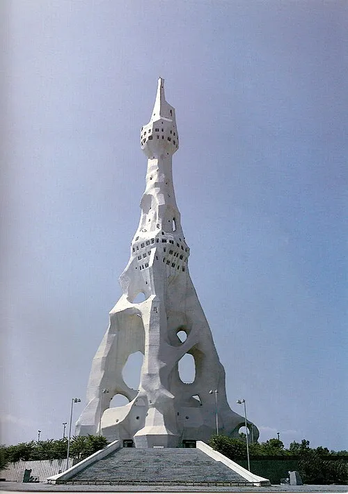 PL Peace Tower Landmark, Tondabayashi Shi9 km E
-
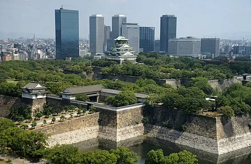 Osaka Castle Historic site, Chūō Ku18 km N
-
Kizu River River, Osaka11 km N
-
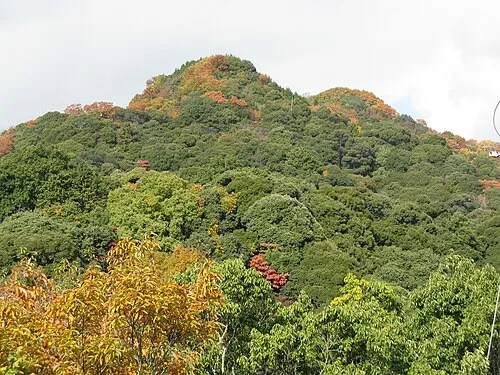 Mount Shigi Mountain, Heguri-chō18 km NE
-
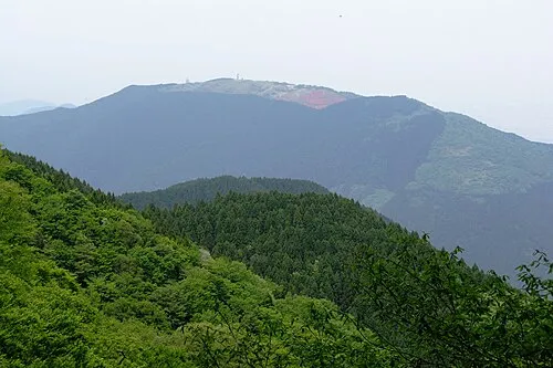 Mount Minami Katsuragi Mountain, Chihaya-akasaka Mura19 km SE
Sources & licences
Data last updated: · 2 independent sources