Yoshinogari Chō
Located in Kanzaki-gun, Saga Prefecture Coordinates: 33°21′55″ N 130°23′48″ E

- Population
- 16,311
- 16.3K
- Elevation
- 145 m
- above sea level
- Local time
- UTC+09:00
- Asia/Tokyo · UTC+09:00
- Places inside
- 1
- listed under Yoshinogari Chō
- Airports
- FUK Fukuoka Airport25 km
- HSG Kyushu Saga International Airport25 km
About Yoshinogari Chō
Yoshinogari Chō is a municipality. Location: Kanzaki-gun, Saga Prefecture. Population: 16,311. Elevation: 145 m.
Yoshinogari (吉野ヶ里町, Yoshinogari-chō) is a town located in Kanzaki District, Saga Prefecture, Japan. As of 30 April 2024, the town had an estimated population of 16,161 in 6,792 households, and a population density of 370 people per km2. The total area of the town is 43.99 km2 (16.98 sq mi).
Source: Wikipedia · CC BY-SA 4.0
Travel notes for Yoshinogari Chō
From Wikivoyage
Yoshinogari (吉野ヶ里町) is a town of 16,000 people (2017) in Saga Prefecture, Japan.
Understand+
The town government's official site has a Japanese-only tourism section.
Get in+
By plane:
The closest airports are Saga Airport and Fukuoka Airport.
By train:
1 Yoshinogari-kōen Station (吉野ケ里公園駅), ☏ +81 952-52-2324. This is on JR Kyushu's Nagasaki Main Line. (updated Jul 2024)
By car:
Expressways: Nagasaki Expressway (Higashi-Sefuri Interchange)
National Highways: Route 34 and Route 385
Prefectural Roads: Saga Prefectural Route 31, and Route 46
Source: Wikivoyage · CC BY-SA 4.0 · abridged
Places bordering Yoshinogari Chō
- Kanzakimachi-kanzaki
- Kamimine-cho
- Miyaki-gun
- Fukuoka City
Population of Yoshinogari Chō over time
| 2010 | 16,405 | |
|---|---|---|
| 2015 | 16,411 | |
| 2021 | 16,324 |
Censuses and official estimates; source: Wikidata.
Climate of Yoshinogari Chō
Best months for sightseeingBest months for sightseeing: May–June, September–October.
This month · November
Outside the best season
Day 16° · Night 8° · Rain 77 mm
Better nearby cities in November
- Beppu · 103 km east17°
- Ōita · 113 km east18°
- Nobeoka · 147 km southeast18°
- Hottest month
- August (day 30°)
- Coldest month
- January (night 1°)
- Wettest month
- July (364 mm)
- Driest month
- December (62 mm)
Bars: average monthly low and high temperature. Below: precipitation. Monthly averages for 1970–2000 at about 18 km resolution, adjusted for elevation. Highlighted months are mild and relatively dry. Source: WorldClim 2.1 (CC BY 4.0).
Show values as a table
| Month | Jan | Feb | Mar | Apr | May | Jun | Jul | Aug | Sep | Oct | Nov | Dec |
|---|---|---|---|---|---|---|---|---|---|---|---|---|
| Average high (°C) | 8° | 9° | 12° | 18° | 22° | 25° | 29° | 30° | 26° | 21° | 16° | 11° |
| Average low (°C) | 1° | 2° | 4° | 10° | 14° | 18° | 23° | 23° | 20° | 14° | 8° | 3° |
| Precipitation (mm) | 73 | 86 | 127 | 166 | 182 | 345 | 364 | 199 | 210 | 102 | 77 | 62 |
Other places to visit in this season: May June September October
How to get to Yoshinogari Chō
The nearest airport is Fukuoka Airport (FUK), 25 km to the north as the crow flies. The nearest large city is Kurume, 12 km to the southeast.
Airports
- Fukuoka Airport (FUK) Fukuoka 25 kmnorth
- Kyushu Saga International Airport (HSG) Saga 25 kmsouth
- Nagasaki Airport (NGS) Nagasaki 67 kmsouthwest
Nearby large cities
- Kurume Population: 303.6K 12 kmsoutheast
- Saga Population: 233.3K 17 kmsouthwest
- Chikushino-shi Population: 103.3K 18 kmnortheast
- Kasuga Population: 111K 19 kmnorth
- Ōnojō Population: 102.1K 20 kmnorth
Straight-line distances; road distances are longer. Airport data: OurAirports.
Day trips from Yoshinogari Chō
Within 100 km: 21 historic and cultural sites, 20 natural sites, 15 lakes, rivers and coasts.
0–25 km11 places
- Kyūshū Kokuritsu Hakubutsukan Museum 21 kmNE
- Mt. Abura Mountain 17 kmN
- Shōfū-en Natural site 23 kmN
- Rakusui-en Natural site 25 kmN
25–60 km15 places
- Chikugo River River 25 kmS
- Shika Island Island 35 kmN
- Kakara Shima Island 57 kmNW
- Kikuchi River River 55 kmS
60–100 km30 places
- Iki Island Island 78 kmNW
- Hiko Shima Island 79 kmNE
- Hario Jima Island 65 kmSW
- Mount Unzen Mountain 69 kmS
Straight-line distances.
Places in Yoshinogari Chō
1 placeBar: population relative to the most populous place in this list.
Nearby attractions & nature
Everything nearby-
 Mount Sefuri Mountain, Sawara8.3 km N
-
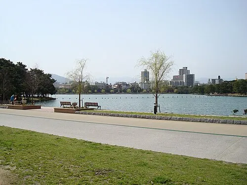 Ōhori Park Natural site, Chūō-ku25 km N
-
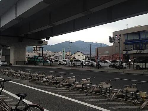 Mt. Abura Mountain, Minami17 km N
-
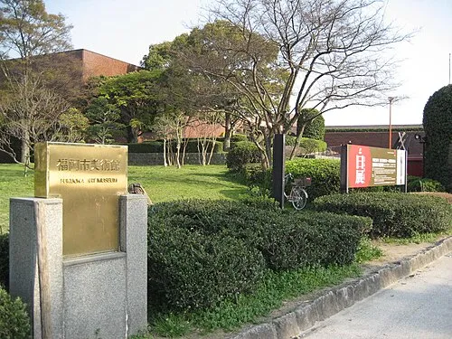 Fukuoka Art Museum Museum, Chūō-ku24 km N
-
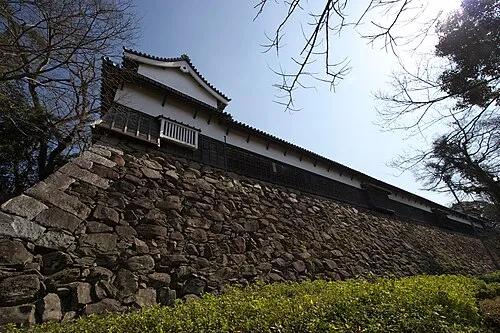 Fukuoka Castle ruins Historic site, Chūō-ku24 km N
-
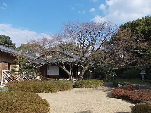 Shōfū-en Natural site, Chūō-ku23 km N
-
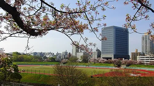 Heiwadai Athletic Stadium Landmark, Chūō-ku25 km N
-
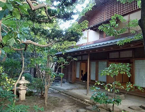 Rakusui-en Natural site, Hakata25 km N
Sources & licences
Data last updated: · 2 independent sources