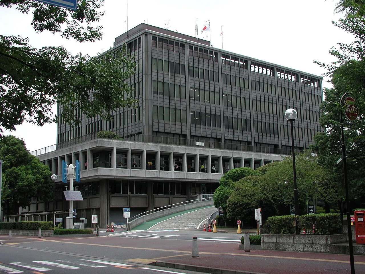
- Population
- 140,899
- 140.9K
- Elevation
- 5 m
- above sea level
- Local time
- UTC+09:00
- Asia/Tokyo · UTC+09:00
- Airports
- HND Tokyo Haneda International Airport31 km
- NRT Narita International Airport64 km
About Shimotoda
Shimotoda is a city. Location: Toda-shi, Saitama. Population: 140,899. Elevation: 5 m. The best months to visit are May–June, October. The nearest airport is Tokyo Haneda International Airport (31 km). Nearby sights include Gokoku Ji and Tokyo National Museum.
Climate of Shimotoda
Best months for sightseeingBest months for sightseeing: May–June, October.
This month · November
Outside the best season
Day 17° · Night 8° · Rain 85 mm
Better nearby cities in November
- Isehara · 57 km southwest18°
- Odawara · 78 km southwest19°
- Kofu · 102 km west17°
- Hottest month
- August (day 31°)
- Coldest month
- January (night 1°)
- Wettest month
- September (202 mm)
- Driest month
- December (40 mm)
Bars: average monthly low and high temperature. Below: precipitation. Monthly averages for 1970–2000 at about 18 km resolution, adjusted for elevation. Highlighted months are mild and relatively dry. Source: WorldClim 2.1 (CC BY 4.0).
Show values as a table
| Month | Jan | Feb | Mar | Apr | May | Jun | Jul | Aug | Sep | Oct | Nov | Dec |
|---|---|---|---|---|---|---|---|---|---|---|---|---|
| Average high (°C) | 10° | 10° | 13° | 19° | 23° | 25° | 29° | 31° | 27° | 22° | 17° | 12° |
| Average low (°C) | 1° | 1° | 4° | 10° | 14° | 18° | 22° | 24° | 20° | 14° | 8° | 3° |
| Precipitation (mm) | 43 | 58 | 101 | 119 | 129 | 174 | 157 | 157 | 202 | 167 | 85 | 40 |
How to get to Shimotoda
The nearest airport is Tokyo Haneda International Airport (HND), 31 km to the south as the crow flies. The nearest large city is Kawaguchi, 3 km to the southeast.
Airports
- Tokyo Haneda International Airport (HND) Tokyo 31 kmsouth
- Narita International Airport (NRT) Narita 64 kmeast
- Ibaraki Airport (IBR) Omitama 77 kmnortheast
Nearby large cities
- Kawaguchi Population: 607.4K 3 kmsoutheast
- Asaka Population: 141.1K 8 kmwest
- Kita-ku Population: 332.1K 8 kmsoutheast
- Sōka Population: 249.6K 11 kmeast
- Niiza Population: 166K 12 kmwest
Straight-line distances; road distances are longer. Airport data: OurAirports.
Day trips from Shimotoda
Within 100 km: 50 historic and cultural sites, 41 natural sites, 43 lakes, rivers and coasts.
0–25 km46 places
- Saitama Super Arena Landmark 10 kmNW
- Iruma River River 17 kmNW
- Ueno Dōbutsuen Attraction 13 kmSE
- National Museum of Modern Art Museum 15 kmSE
25–60 km42 places
- Mount Bukō Mountain 55 kmW
- Lake Tega Lake 36 kmE
- Yōrō River River 46 kmSE
- Hanami River River 40 kmSE
60–100 km46 places
- Jōga Shima Island 76 kmS
- Enoshima Island 60 kmS
- Hatsu-shima Island 98 kmSW
- Ai River River 69 kmS
Straight-line distances.
Shimotoda and similar cities
Side by side with cities of similar size in the same country: population, elevation and climate.
| Measure | Shimotoda | Asaka | Fukayachō | Ishinomaki |
|---|---|---|---|---|
| Population | 140.9K | 141.1K | 141.3K | 140.2K |
| Elevation | 5 m | 25 m | 35 m | 2 m |
| Summer day (hottest month) | 31° | 31° | 31° | 27° |
| Winter night (coldest month) | 1° | 0° | -2° | -3° |
| Annual rainfall | 1,432 mm | 1,461 mm | 1,256 mm | 1,110 mm |
| Best months | May–Jun, Oct | Apr–Jun, Oct | Apr–May, Oct | May–Oct |
| Distance | — | 8 km | 56 km | 322 km |
Climate values are 1970–2000 monthly averages; straight-line distance.
Nearby attractions & nature
Everything nearby-
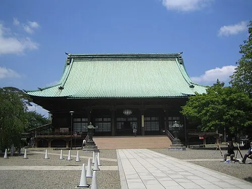 Gokoku Ji Attraction, Bunkyō-ku11 km S
-
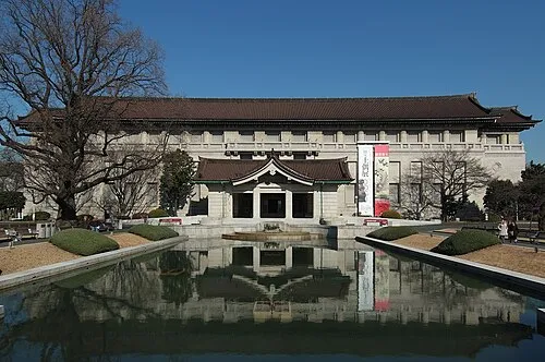 Tokyo National Museum Museum, Taito14 km SE
-
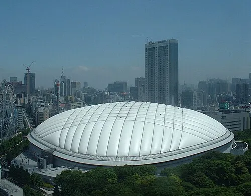 Tokyo Dome Landmark, Bunkyō-ku14 km SE
-
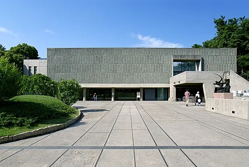 National Museum of Western Art Museum, Taito14 km SE
-
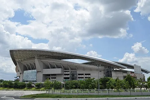 Saitama Stadium 2002 Landmark, Midori-ku10 km N
-
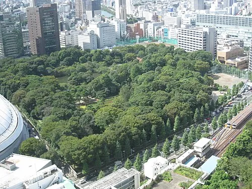 Koishikawa Kōraku En Attraction, Bunkyō-ku14 km SE
-
Shingashi River River, Saitama6 km W
-
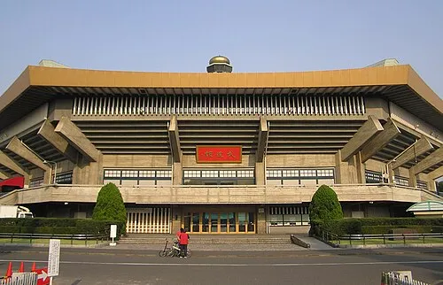 Nippon Budōkan Landmark, Chiyoda-ku15 km SE
Sources & licences
Data last updated: