- Elevation
- 73 m
- above sea level
- Local time
- UTC+09:00
- Asia/Tokyo · UTC+09:00
- Airports
- TAK Takamatsu Airport4 km
- TKS Tokushima Awaodori Airport / JMSDF Tokushima Air Base58 km
About Sanuki
Sanuki is a village. Location: Japan. Elevation: 73 m.
Sanuki Province (讃岐国, Sanuki no Kuni; Japanese pronunciation: [sä́.nɨ̀.kʲì (nò̞ kɯ̈̀.ɲ̟ì), sä̀.nɨ́.kʲí (nò̞ kɯ̈̀.ɲ̟ì)]) was a province of Japan in the area of northeastern Shikoku. Sanuki bordered on Awa to the south, and Iyo to the west. Its abbreviated form name was Sanshū (讃州). In terms of the Gokishichidō system, Sanuki was one of the provinces of the Nankaidō circuit.
Read more on Wikipedia Text: Wikipedia contributors · CC BY-SA 4.0 · shortened
Climate of Sanuki
Best months for sightseeingBest months for sightseeing: May–June, October.
Bars: average monthly low and high temperature. Below: precipitation. Monthly averages for 1970–2000 at about 18 km resolution, adjusted for elevation. Highlighted months are mild and relatively dry. Source: WorldClim 2.1 (CC BY 4.0).
Show values as a table
| Month | Jan | Feb | Mar | Apr | May | Jun | Jul | Aug | Sep | Oct | Nov | Dec |
|---|---|---|---|---|---|---|---|---|---|---|---|---|
| Average high (°C) | 8° | 9° | 12° | 18° | 23° | 26° | 30° | 31° | 27° | 21° | 16° | 11° |
| Average low (°C) | 1° | 1° | 4° | 9° | 14° | 19° | 23° | 24° | 20° | 13° | 8° | 3° |
| Precipitation (mm) | 44 | 59 | 94 | 151 | 161 | 249 | 207 | 136 | 250 | 127 | 81 | 37 |
Airports nearest to Sanuki
- Takamatsu Airport (TAK) Takamatsu 4 km
- Tokushima Awaodori Airport / JMSDF Tokushima Air Base (TKS) Tokushima 58 km
- Okayama Momotaro Airport (OKJ) Okayama 58 km
Straight-line distance; airports with scheduled flights only. Source: OurAirports (public domain).
Nearby attractions & nature
Everything nearby-
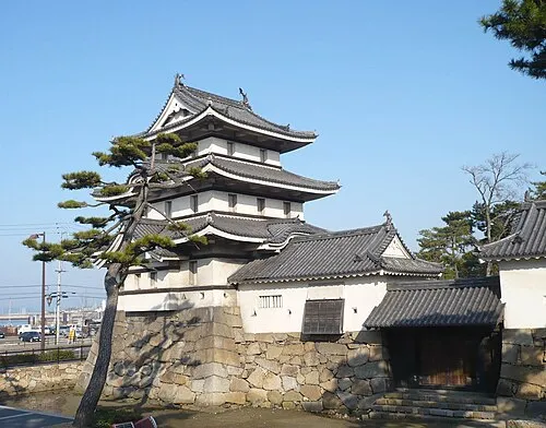 Takamatsu castle Historic site, Takamatsu Shi12 km NE
-
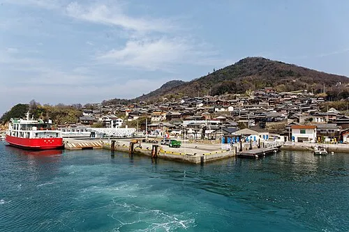 Ogi Shima Island, Kagawa20 km N
-
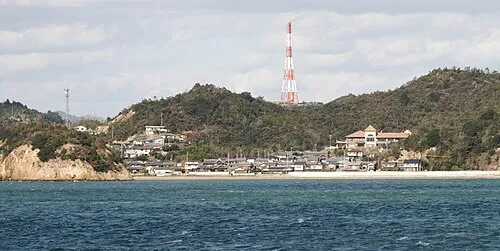 Nao Shima Island, Kagawa23 km N
-
Yashima Natural site, Kagawa16 km NE
-
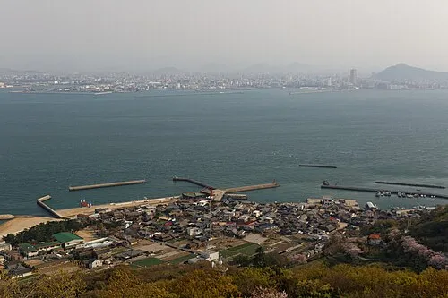 Megi Shima Island, Kagawa17 km N
-
Great Seto Bridge Landmark, Japan24 km NW
Sources & licences
Data last updated: · 2 independent sources