Moriyama
Local name: 守山市
Located in Moriyama Shi, Shiga Prefecture Coordinates: 35°04′00″ N 135°59′00″ E
- Population
- 85,485
- 85.5K
- Elevation
- 92 m
- above sea level
- Local time
- UTC+09:00
- Asia/Tokyo · UTC+09:00
- Airports
- ITM Osaka Itami International Airport59 km
- NGO Chubu Centrair International Airport79 km
About Moriyama
Moriyama is a city. Location: Moriyama Shi, Shiga Prefecture. Population: 85,485. Elevation: 92 m.
Moriyama (守山市, Moriyama-shi) is a city located in Shiga Prefecture, Japan. As of 31 August 2021, the city had an estimated population of 85,485 in 34,366 households and a population density of 1533.63 persons per km2. The total area of the city is 55.74 square kilometres (21.52 sq mi).
Source: Wikipedia · CC BY-SA 4.0
Places bordering Moriyama
- Kusatsu
- Rittō
- Yasu-shi
Population of Moriyama over time
| 2010 | 76,560 | |
|---|---|---|
| 2015 | 79,859 | |
| 2021 | 83,567 |
Censuses and official estimates; source: Wikidata.
Climate of Moriyama
Best months for sightseeingBest months for sightseeing: May–June, September–October.
This month · November
Outside the best season
Day 16° · Night 7° · Rain 84 mm
Better nearby cities in November
- Fujinomiya · 240 km east18°
- Kofu · 244 km east17°
- Fuji · 246 km east20°
- Hottest month
- August (day 31°)
- Coldest month
- February (night 0°)
- Wettest month
- June (229 mm)
- Driest month
- December (66 mm)
Bars: average monthly low and high temperature. Below: precipitation. Monthly averages for 1970–2000 at about 18 km resolution, adjusted for elevation. Highlighted months are mild and relatively dry. Source: WorldClim 2.1 (CC BY 4.0).
Show values as a table
| Month | Jan | Feb | Mar | Apr | May | Jun | Jul | Aug | Sep | Oct | Nov | Dec |
|---|---|---|---|---|---|---|---|---|---|---|---|---|
| Average high (°C) | 8° | 8° | 11° | 18° | 22° | 26° | 30° | 31° | 27° | 21° | 16° | 11° |
| Average low (°C) | 1° | 0° | 3° | 8° | 13° | 18° | 22° | 23° | 19° | 13° | 7° | 3° |
| Precipitation (mm) | 79 | 85 | 116 | 144 | 150 | 229 | 218 | 142 | 199 | 122 | 84 | 66 |
Other places to visit in this season: May June September October
How to get to Moriyama
The nearest airport is Osaka Itami International Airport (ITM), 59 km to the southwest as the crow flies. The nearest large city is Kusatsu, 6 km to the south.
Airports
- Osaka Itami International Airport (ITM) Osaka 59 kmsouthwest
- Chubu Centrair International Airport (NGO) Tokoname 79 kmeast
- Kobe Airport (UKB) Kobe 84 kmsouthwest
Nearby large cities
- Kusatsu Population: 143.9K 6 kmsouth
- Ōtsu Population: 345.1K 13 kmsouthwest
- Youkaichi Population: 112.8K 20 kmeast
- Uji Population: 192.9K 26 kmsouthwest
- Hikone Population: 113.6K 32 kmnortheast
Straight-line distances; road distances are longer. Airport data: OurAirports.
Nearby attractions & nature
Everything nearby-
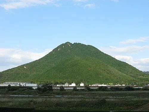 Mount Mikami Mountain, Yasu-shi5.2 km E
-
Yasu River River, Japan6 km N
-
 Mount Hiei Mountain, Sakyō Ku14 km W
-
Mount Hiei Mountain, Ōtsu Shi14 km W
-
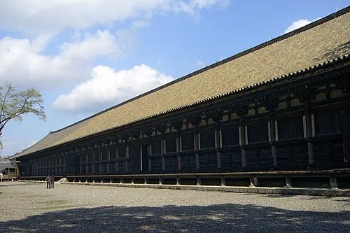 Sanjusangen-do Attraction, Higashiyama District21 km SW
-
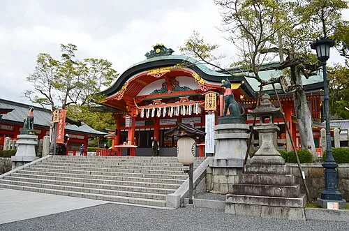 Fushimi Inari-taisha Attraction, Fushimi-ku22 km SW
-
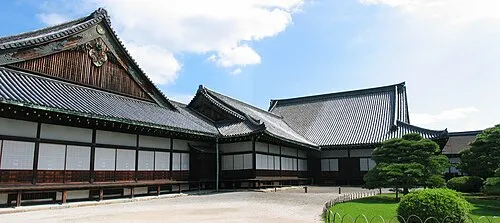 Nijo castle Historic site, Nakagyō Ku22 km W
-
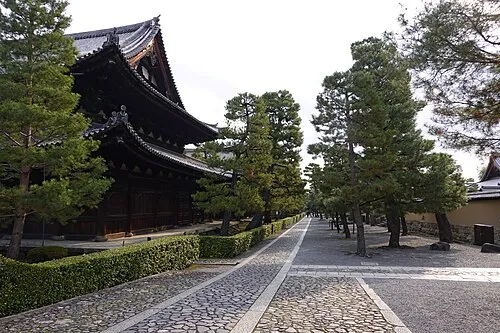 Daitokuji Attraction, Kita Ku22 km W
Sources & licences
Data last updated: · 2 independent sources