
- Population
- 1,402,132
- 1.4M
- Elevation
- 85 m
- above sea level
- Local time
- UTC+09:00
- Asia/Tokyo · UTC+09:00
- Places inside
- 18
- listed under Shiga Prefecture
- Airports
- NKM Nagoya Airport / JASDF Komaki Air Base72 km
- NGO Chubu Centrair International Airport73 km
About Shiga Prefecture
Shiga Prefecture is a region. Location: Japan. Population: 1,402,132.
Shiga Prefecture (滋賀県, Shiga-ken; Japanese pronunciation: [ɕí.ɡä̀, -ŋä̀, ɕì.ɡä́.kè̞ɴ̀, -ŋä́.kè̞ɴ̀]) is an inland prefecture of Japan in the Kansai region of Honshu. Shiga Prefecture has a population of 1,398,972 as of 1 February 2025 and has a geographic area of 4,017 km2 (1,551 sq mi). Shiga Prefecture borders Fukui Prefecture to the north, Gifu Prefecture to the northeast, Mie Prefecture to the southeast, and Kyoto Prefecture to the west.
Read more on Wikipedia Text: Wikipedia contributors · CC BY-SA 4.0 · shortened
Places bordering Shiga Prefecture
Twin towns and sister cities of Shiga Prefecture
- Michigan· United States
Source: Wikidata. Only places with a page on this site are shown.
Climate of Shiga Prefecture
Best months for sightseeingBest months for sightseeing: May–June, September–October.
Bars: average monthly low and high temperature. Below: precipitation. Monthly averages for 1970–2000 at about 18 km resolution, adjusted for elevation. Highlighted months are mild and relatively dry. Source: WorldClim 2.1 (CC BY 4.0).
Show values as a table
| Month | Jan | Feb | Mar | Apr | May | Jun | Jul | Aug | Sep | Oct | Nov | Dec |
|---|---|---|---|---|---|---|---|---|---|---|---|---|
| Average high (°C) | 8° | 7° | 10° | 16° | 21° | 24° | 29° | 30° | 26° | 20° | 15° | 11° |
| Average low (°C) | 2° | 1° | 3° | 8° | 13° | 17° | 22° | 23° | 20° | 14° | 8° | 4° |
| Precipitation (mm) | 111 | 106 | 125 | 145 | 146 | 222 | 207 | 120 | 195 | 123 | 96 | 95 |
Other places to visit in this season: May June September October
Airports nearest to Shiga Prefecture
- Nagoya Airport / JASDF Komaki Air Base (NKM) Nagoya 72 km
- Chubu Centrair International Airport (NGO) Tokoname 73 km
- Osaka Itami International Airport (ITM) Osaka 80 km
Straight-line distance; airports with scheduled flights only. Source: OurAirports (public domain).
Places in Shiga Prefecture
18 places- 1 Ōtsu Shi 342.6K
- 2 Kusatsu Shi 127.4K
- 3 Nagahama Shi 122.8K
- 4 Higashiōmi-shi 116.1K
- 5 Hikone 112.7K
- 6 Koka-Shi 93.4K
- 7 Ōmi-hachiman Shi 82.4K
- 8 Moriyama Shi 80K
- 9 Rittō-shi 66.8K
- 10 Konan-shi 54.9K
- 11 Takashima-shi 52.1K
- 12 Maibara-shi 40.5K
- 13 Yasu-shi 37.6K
Bar: population relative to the most populous place in this list.
-
Echi District
-
Gamō District
-
Inukami District
-
Lake Biwa Lake
-
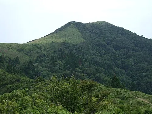
Mount Gozaisho Mountain
Largest cities and towns
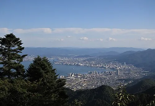
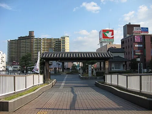
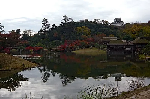
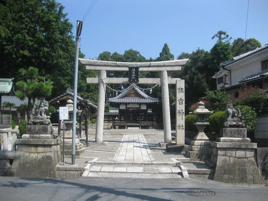
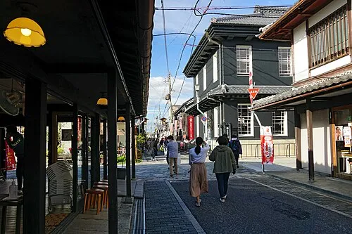
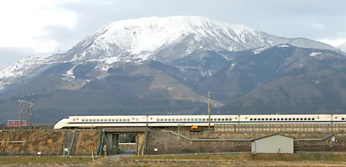

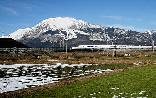
Nature and heritage in Shiga Prefecture
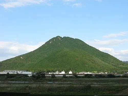
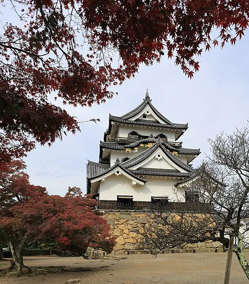

Sources & licences
Data last updated: · 2 independent sources