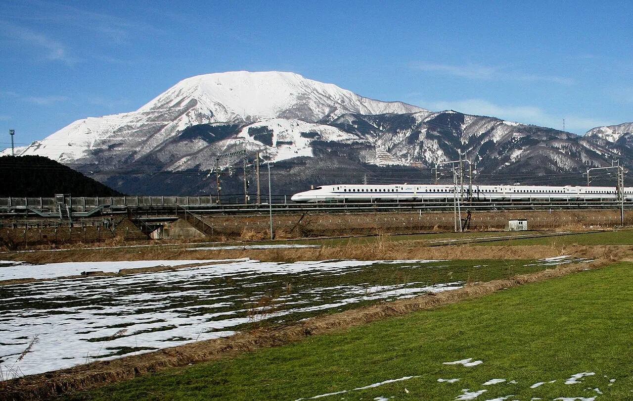
- Elevation
- 1,377 m
- above sea level
- Local time
- UTC+09:00
- Asia/Tokyo · UTC+09:00
- Airports
- NKM Nagoya Airport / JASDF Komaki Air Base50 km
- NGO Chubu Centrair International Airport72 km
About Mount Ibuki
Mount Ibuki is a mountain. Location: Maibara-shi, Shiga Prefecture. Elevation: 1,377 m.
Mount Ibuki (伊吹山, Ibuki-yama) is a 1,377-metre-high (4,518 ft) mountain, on the border of Maibara, Shiga Prefecture, and Ibigawa, Gifu Prefecture, Japan. It is one of the 100 Famous Japanese Mountains, and is also included on the lists of the 100 Kinki Mountains and the 50 Shiga Mountains. Mount Ibuki is the highest mountain in Shiga Prefecture.
Source: Wikipedia · CC BY-SA 4.0
Climate of Mount Ibuki
Best months for sightseeingBest months for sightseeing: July–August.
This month · November
A wet month
Day 7° · Night -1° · Rain 105 mm
Better nearby cities in November
- Kofu · 197 km east17°
- Fujinomiya · 202 km east18°
- Fuji · 209 km east20°
- Hottest month
- August (day 23°)
- Coldest month
- February (night -8°)
- Wettest month
- July (268 mm)
- Driest month
- December (100 mm)
Bars: average monthly low and high temperature. Below: precipitation. Monthly averages for 1970–2000 at about 18 km resolution, adjusted for elevation. Highlighted months are mild and relatively dry. Source: WorldClim 2.1 (CC BY 4.0).
Show values as a table
| Month | Jan | Feb | Mar | Apr | May | Jun | Jul | Aug | Sep | Oct | Nov | Dec |
|---|---|---|---|---|---|---|---|---|---|---|---|---|
| Average high (°C) | -2° | -1° | 3° | 9° | 14° | 17° | 21° | 23° | 18° | 13° | 7° | 2° |
| Average low (°C) | -8° | -8° | -6° | 0° | 5° | 10° | 14° | 15° | 11° | 4° | -1° | -6° |
| Precipitation (mm) | 113 | 108 | 139 | 176 | 176 | 262 | 268 | 188 | 250 | 142 | 105 | 100 |
How to get to Mount Ibuki
The nearest airport is Nagoya Airport / JASDF Komaki Air Base (NKM), 50 km to the east as the crow flies. For international flights: Chubu Centrair International Airport (NGO) (72 km). The nearest large city is Nagahama, 13 km to the west.
Airports
- Nagoya Airport / JASDF Komaki Air Base (NKM) Nagoya 50 kmeast
- Chubu Centrair International Airport (NGO) Tokoname 72 kmsoutheast
- Komatsu Airport / JASDF Komatsu Air Base (KMQ) Kanazawa 108 kmnorth
Nearby large cities
- Nagahama Population: 113.6K 13 kmwest
- Ōgaki Population: 161.5K 21 kmeast
- Hikone Population: 113.6K 23 kmsouthwest
- Gifu Population: 402.6K 32 kmeast
- Ichinomiya Population: 380.1K 38 kmeast
Straight-line distances; road distances are longer. Airport data: OurAirports.
Nearest towns and villages
-
Ibuki Village, Maibara-shi4.1 km SW
-
Sekigahara Chō Municipality, Fuwa-gun8.6 km SE
-
Sekigahara Town, Sekigahara Chō7.9 km SE
-
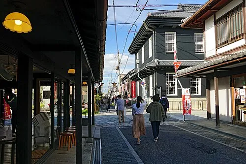 Nagahama City, Nagahama Shi13 km W
-
Tarui Chō Municipality, Fuwa-gun11 km E
-
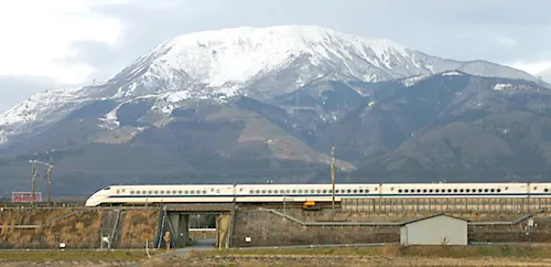 Maibara City, Maibara-shi16 km SW
Nearby attractions & nature
Everything nearby-
Mount Ryōzen Mountain, Taga Chō15 km S
-
 Chikubu Island Island, Japan24 km W
-
Neo River River, Gifu21 km E
-
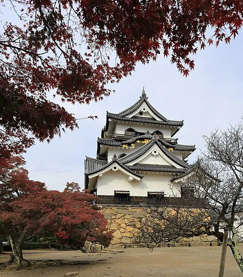 Hikone castle Historic site, Hikone21 km SW
Sources & licences
Data last updated: · 2 independent sources