Mount Bunagatake
Located in Ōtsu Shi, Shiga Prefecture Coordinates: 35°15′51″ N 135°53′48″ E
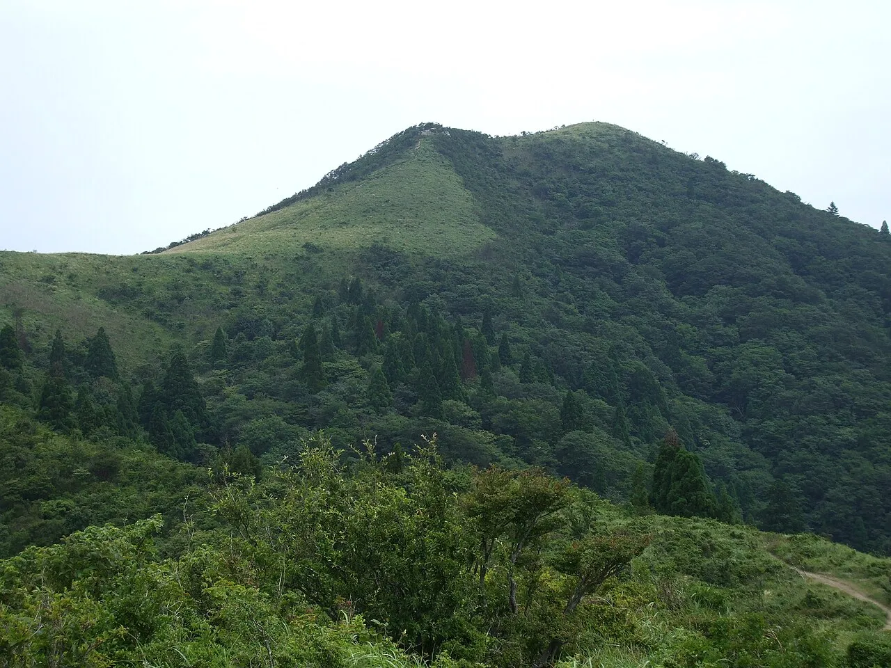
- Elevation
- 1,214 m
- above sea level
- Local time
- UTC+09:00
- Asia/Tokyo · UTC+09:00
- Airports
- ITM Osaka Itami International Airport68 km
- UKB Kobe Airport93 km
About Mount Bunagatake
Mount Bunagatake is a mountain. Location: Ōtsu Shi, Shiga Prefecture. Elevation: 1,214 m.
Mount Bunagatake (武奈ヶ岳, Bunagatake) is a 1,214.4-metre-high (3,984 ft) mountain in Ōtsu, Shiga Prefecture, Japan. This mountain is one of the 200 famous mountains in Japan and also one of the Kinki 100 mountains.
Source: Wikipedia · CC BY-SA 4.0
Climate of Mount Bunagatake
Best months for sightseeingBest months for sightseeing: July–September.
This month · November
A wet month
Day 8° · Night 0° · Rain 101 mm
Better nearby cities in November
- Kofu · 246 km east17°
- Fujinomiya · 247 km east18°
- Fuji · 253 km east20°
- Hottest month
- August (day 24°)
- Coldest month
- February (night -7°)
- Wettest month
- June (238 mm)
- Driest month
- December (94 mm)
Bars: average monthly low and high temperature. Below: precipitation. Monthly averages for 1970–2000 at about 18 km resolution, adjusted for elevation. Highlighted months are mild and relatively dry. Source: WorldClim 2.1 (CC BY 4.0).
Show values as a table
| Month | Jan | Feb | Mar | Apr | May | Jun | Jul | Aug | Sep | Oct | Nov | Dec |
|---|---|---|---|---|---|---|---|---|---|---|---|---|
| Average high (°C) | 0° | 0° | 4° | 10° | 15° | 18° | 22° | 24° | 19° | 14° | 8° | 3° |
| Average low (°C) | -6° | -7° | -5° | 1° | 6° | 11° | 15° | 16° | 12° | 6° | 0° | -4° |
| Precipitation (mm) | 110 | 105 | 128 | 152 | 159 | 238 | 235 | 161 | 220 | 133 | 101 | 94 |
How to get to Mount Bunagatake
The nearest airport is Osaka Itami International Airport (ITM), 68 km to the southwest as the crow flies. The nearest large city is Kusatsu, 28 km to the south.
Airports
- Osaka Itami International Airport (ITM) Osaka 68 kmsouthwest
- Kobe Airport (UKB) Kobe 93 kmsouthwest
- Nagoya Airport / JASDF Komaki Air Base (NKM) Nagoya 93 kmeast
Nearby large cities
- Kusatsu Population: 143.9K 28 kmsouth
- Ōtsu Population: 345.1K 29 kmsouth
- Youkaichi Population: 112.8K 32 kmsoutheast
- Hikone Population: 113.6K 32 kmeast
- Nagahama Population: 113.6K 36 kmeast
Straight-line distances; road distances are longer. Airport data: OurAirports.
Nearest towns and villages

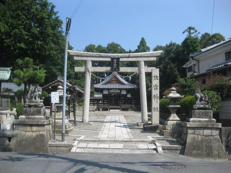
Nearby attractions & nature
Everything nearby-
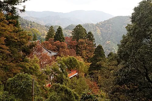 Mount Kurama Mountain, Sakyō Ku20 km SW
-
 Mount Hiei Mountain, Sakyō Ku23 km S
-
Mount Hiei Mountain, Ōtsu Shi23 km S
-
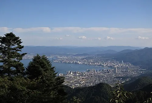
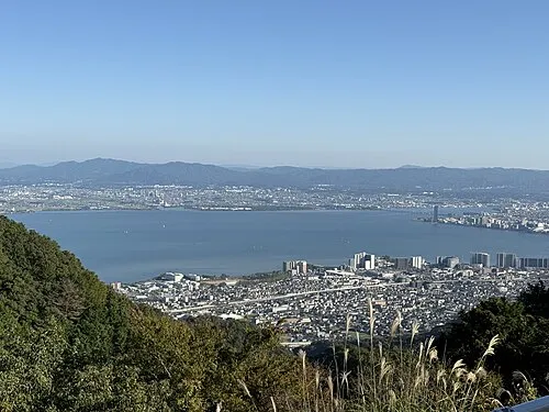 Lake Biwa Lake, Shiga Prefecture17 km E
-
Yasu River River, Japan18 km SE
Sources & licences
Data last updated: · 2 independent sources