- Local time
- UTC+09:00
- Asia/Tokyo · UTC+09:00
- Airports
- FSZ Mount Fuji Shizuoka Airport40 km
- NGO Chubu Centrair International Airport93 km
About Tenryu River
Tenryu River is a river. Location: Shizuoka, Japan.
The Tenryū River (天竜川, Tenryū-gawa) is an A class river in central Honshū, Japan. With a length of 213 km (132 mi), it is Japan's ninth longest river. Its source is Lake Suwa in the Kiso Mountains near Okaya in Nagano Prefecture. It then flows through Aichi Prefecture and western Shizuoka Prefecture.
Read more on Wikipedia Text: Wikipedia contributors · CC BY-SA 4.0 · shortened
At a glance
- Length
- 213 km
Source: Wikidata
Climate of Tenryu River
Best months for sightseeingBest months for sightseeing: May–June, October.
Bars: average monthly low and high temperature. Below: precipitation. Monthly averages for 1970–2000 at about 18 km resolution, adjusted for elevation. Highlighted months are mild and relatively dry. Source: WorldClim 2.1 (CC BY 4.0).
Show values as a table
| Month | Jan | Feb | Mar | Apr | May | Jun | Jul | Aug | Sep | Oct | Nov | Dec |
|---|---|---|---|---|---|---|---|---|---|---|---|---|
| Average high (°C) | 10° | 10° | 14° | 19° | 22° | 25° | 28° | 30° | 27° | 22° | 18° | 12° |
| Average low (°C) | 2° | 2° | 5° | 10° | 14° | 19° | 22° | 23° | 20° | 15° | 9° | 4° |
| Precipitation (mm) | 71 | 90 | 155 | 192 | 211 | 277 | 221 | 205 | 211 | 196 | 123 | 72 |
Airports nearest to Tenryu River
- Mount Fuji Shizuoka Airport (FSZ) Makinohara / Shimada 40 km
- Chubu Centrair International Airport (NGO) Tokoname 93 km
- Nagoya Airport / JASDF Komaki Air Base (NKM) Nagoya 104 km
Straight-line distance; airports with scheduled flights only. Source: OurAirports (public domain).
Nearest towns and villages
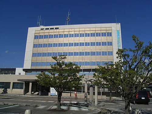
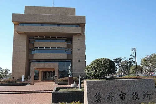
More lakes, rivers and coasts in Japan
-
Kiku River River, Shizuoka25 km E
-
Oi River River, Shizuoka47 km E
-
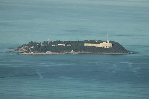 Hatsu-shima Island, Shizuoka133 km E
-
Abe River River, Shizuoka64 km NE
-
Shiba River River, Shizuoka93 km NE
-
Kano River River, Shizuoka108 km NE
Sources & licences
Data last updated: · 2 independent sources