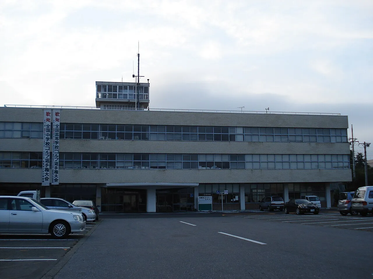
- Population
- 72,087
- 72.1K
- Elevation
- 205 m
- above sea level
- Local time
- UTC+09:00
- Asia/Tokyo · UTC+09:00
- Airports
- FKS Fukushima Airport53 km
- IBR Ibaraki Airport83 km
About Ōtawara
Ōtawara is a city. Location: Ōtawara Shi, Tochigi. Population: 72,087. Elevation: 205 m.
Ōtawara (大田原市, Ōtawara-shi; Japanese pronunciation: [ò̞ó̞.tä́.β̞ä̀.ɾä̀, -β̞ä́.ɾä́.ɕì, ó̞ó̞-]) is a city located in Tochigi Prefecture, Japan. As of 1 July 2020, the city had an estimated population of 72,189 in 30,136 households, and a population density of 210 persons per km2. The total area of the city is 354.36 square kilometres (136.82 sq mi). The city's name may also be spelled "Ohtawara" as indicated by the official city website.
Source: Wikipedia · CC BY-SA 4.0
Photos of Ōtawara
-

ブルーノ・プラス · CC BY-SA 4.0 -

Miyuki Meinaka · CC BY-SA 4.0 -

Ffggss · CC0 -

蚯? · CC BY 4.0 -

Kanohara · Public domain


Places bordering Ōtawara
- Sakura Shi
- Yaita
- Nasu Machi
- Nakagawa Machi
- Daigo
- Tanagura Machi
Twin towns and sister cities of Ōtawara
- West Covina· United States
Source: Wikidata. Only places with a page on this site are shown.
Population of Ōtawara over time
| 2010 | 77,729 | |
|---|---|---|
| 2015 | 75,457 | |
| 2021 | 72,923 |
Censuses and official estimates; source: Wikidata.
Climate of Ōtawara
Best months for sightseeingBest months for sightseeing: May–July, September–October.
This month · November
Outside the best season
Day 14° · Night 4° · Rain 69 mm
Better nearby cities in November
- Isehara · 176 km south18°
- Kofu · 187 km southwest17°
- Odawara · 196 km southwest19°
- Hottest month
- August (day 29°)
- Coldest month
- January (night -3°)
- Wettest month
- September (180 mm)
- Driest month
- January (39 mm)
Bars: average monthly low and high temperature. Below: precipitation. Monthly averages for 1970–2000 at about 18 km resolution, adjusted for elevation. Highlighted months are mild and relatively dry. Source: WorldClim 2.1 (CC BY 4.0).
Show values as a table
| Month | Jan | Feb | Mar | Apr | May | Jun | Jul | Aug | Sep | Oct | Nov | Dec |
|---|---|---|---|---|---|---|---|---|---|---|---|---|
| Average high (°C) | 7° | 7° | 10° | 16° | 21° | 24° | 27° | 29° | 24° | 19° | 14° | 9° |
| Average low (°C) | -3° | -3° | 0° | 5° | 11° | 15° | 19° | 20° | 16° | 10° | 4° | -1° |
| Precipitation (mm) | 39 | 52 | 76 | 100 | 116 | 163 | 157 | 168 | 180 | 129 | 69 | 44 |
Other places to visit in this season: May June July September October
How to get to Ōtawara
The nearest airport is Fukushima Airport (FKS), 53 km to the northeast as the crow flies. For international flights: Ibaraki Airport (IBR) (83 km). The nearest large city is Utsunomiya, 36 km to the south.
Airports
- Fukushima Airport (FKS) Sukagawa 53 kmnortheast
- Ibaraki Airport (IBR) Omitama 83 kmsoutheast
- Narita International Airport (NRT) Narita 126 kmsouth
Nearby large cities
- Utsunomiya Population: 518.8K 36 kmsouth
- Tochigi Population: 159.1K 60 kmsouthwest
- Chikusei Population: 100.8K 61 kmsouth
- Hitachi Population: 174.5K 63 kmsoutheast
- Oyama Population: 167.6K 66 kmsouth
Straight-line distances; road distances are longer. Airport data: OurAirports.
Day trips from Ōtawara
Within 100 km: 2 historic and cultural sites, 20 natural sites, 10 lakes, rivers and coasts.
25–60 km8 places
- Lake Chūzenji Lake 53 kmW
- Mount Nikkō-Shirane Mountain 59 kmW
- Nantai San Mountain 50 kmW
- Kegon Falls Natural site 49 kmW
60–100 km24 places
- Umeda Ko Lake 70 kmSW
- Mount_Tsukuba Mountain 71 kmS
- Mount Kaba Mountain 64 kmS
- Tanigawa Dake Mountain 98 kmW
Straight-line distances.
Ōtawara and similar cities
Side by side with cities of similar size in the same country: population, elevation and climate.
| Measure | Ōtawara | Chiryū | Hekinan | Yawata |
|---|---|---|---|---|
| Population | 72.1K | 72.2K | 72.5K | 71.7K |
| Elevation | 205 m | 15 m | 3 m | 17 m |
| Summer day (hottest month) | 29° | 31° | 31° | 32° |
| Winter night (coldest month) | -3° | 1° | 1° | 1° |
| Annual rainfall | 1,293 mm | 1,891 mm | 1,867 mm | 1,533 mm |
| Best months | May–Jul, Sep–Oct | May–Jun, Oct | May–Jun, Oct | May, Oct |
| Distance | — | 341 km | 353 km | 449 km |
Climate values are 1970–2000 monthly averages; straight-line distance.
Sources & licences
Data last updated: · 2 independent sources