- Population
- 301,599
- 301.6K
- Elevation
- 8 m
- above sea level
- Local time
- UTC+09:00
- Asia/Tokyo · UTC+09:00
- Airports
- HND Tokyo Haneda International Airport24 km
- NRT Narita International Airport58 km
About Toshima City
Toshima City is a neighbourhood. Location: Kita-ku, Tokyo. Population: 301,599. The best months to visit are May–June, October. The nearest airport is Tokyo Haneda International Airport (24 km). Nearby sights include Gokoku Ji and Kan’ei Ji.
Photos of Toshima City
-
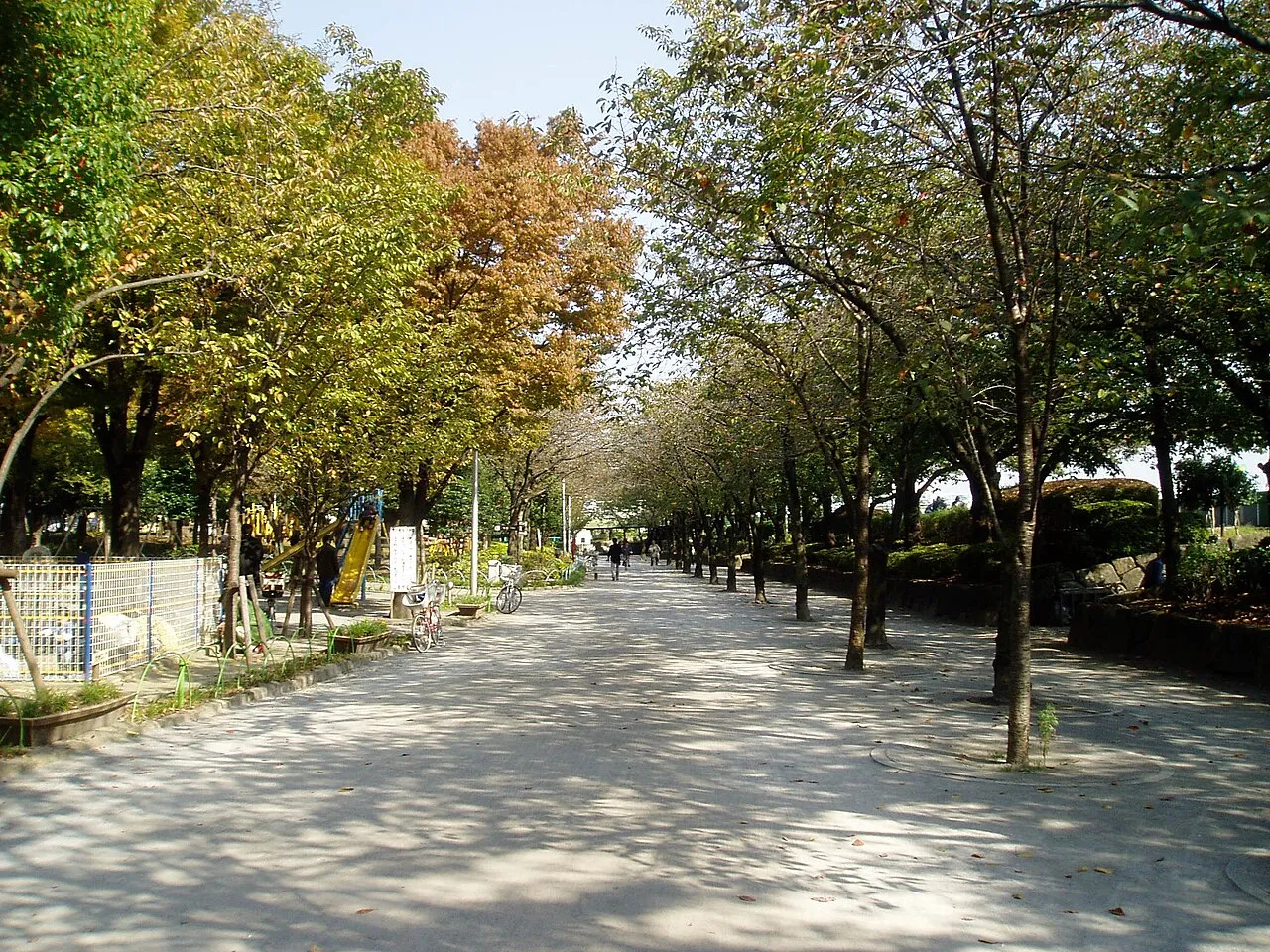
Sumida Kōen Mnd · CC BY-SA 3.0 -
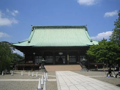
Gokoku Ji Lombroso · CC BY 2.5 -
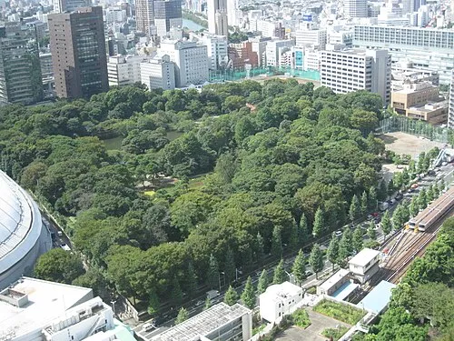
Koishikawa Kōraku En Lombroso · Public domain -
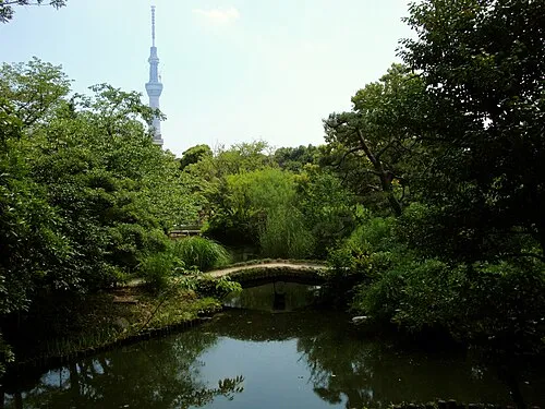
Mukōjima Hyakkaen Irina Gelbukh · CC BY-SA 3.0 -

Kan’ei Ji Kakidai · CC BY-SA 4.0


Climate of Toshima City
Best months for sightseeingBest months for sightseeing: May–June, October.
This month · November
Outside the best season
Day 17° · Night 8° · Rain 85 mm
Better nearby cities in November
- Isehara · 56 km southwest18°
- Odawara · 77 km southwest19°
- Mishima · 104 km southwest18°
- Hottest month
- August (day 31°)
- Coldest month
- January (night 1°)
- Wettest month
- September (202 mm)
- Driest month
- December (40 mm)
Bars: average monthly low and high temperature. Below: precipitation. Monthly averages for 1970–2000 at about 18 km resolution, adjusted for elevation. Highlighted months are mild and relatively dry. Source: WorldClim 2.1 (CC BY 4.0).
Show values as a table
| Month | Jan | Feb | Mar | Apr | May | Jun | Jul | Aug | Sep | Oct | Nov | Dec |
|---|---|---|---|---|---|---|---|---|---|---|---|---|
| Average high (°C) | 10° | 10° | 13° | 19° | 23° | 25° | 29° | 31° | 27° | 22° | 17° | 12° |
| Average low (°C) | 1° | 1° | 4° | 10° | 14° | 18° | 22° | 24° | 20° | 14° | 8° | 3° |
| Precipitation (mm) | 43 | 58 | 101 | 119 | 129 | 174 | 157 | 157 | 202 | 167 | 85 | 40 |
How to get to Toshima City
The nearest airport is Tokyo Haneda International Airport (HND), 24 km to the south as the crow flies. The nearest large city is Kita-ku, 1 km to the southwest.
Airports
- Tokyo Haneda International Airport (HND) Tokyo 24 kmsouth
- Narita International Airport (NRT) Narita 58 kmeast
- Ibaraki Airport (IBR) Omitama 76 kmnortheast
Nearby large cities
- Kita-ku Population: 332.1K 1 kmsouthwest
- Kawaguchi Population: 607.4K 6 kmnorthwest
- Shimotoda Population: 140.9K 8 kmnorthwest
- Nakano City Population: 344.9K 9 kmsouthwest
- Sōka Population: 249.6K 10 kmnortheast
Straight-line distances; road distances are longer. Airport data: OurAirports.
Day trips from Toshima City
Within 100 km: 50 historic and cultural sites, 38 natural sites, 42 lakes, rivers and coasts.
0–25 km47 places
- Saitama Super Arena Landmark 18 kmNW
- Iruma River River 24 kmNW
- Ueno Dōbutsuen Attraction 5 kmSE
- National Museum of Modern Art Museum 8 kmS
25–60 km40 places
- Enoshima Island 57 kmSW
- Lake Tega Lake 32 kmE
- Yōrō River River 38 kmSE
- Hanami River River 32 kmSE
60–100 km43 places
- Jōga Shima Island 71 kmS
- Hatsu-shima Island 96 kmSW
- Ai River River 62 kmS
- Mount Atago Mountain 75 kmS
Straight-line distances.
Nearby attractions & nature
Everything nearby-
Gokoku Ji Attraction, Bunkyō-ku4.7 km S
-
Kan’ei Ji Attraction, Taito5.1 km SE
-
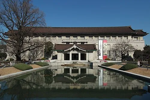 Tokyo National Museum Museum, Taito5.5 km SE
-
Rokugi En Attraction, Bunkyō-ku3.2 km S
-
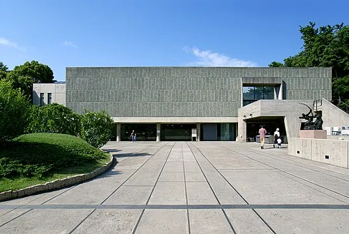 National Museum of Western Art Museum, Taito5.8 km SE
-
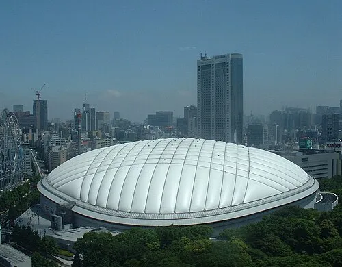 Tokyo Dome Landmark, Bunkyō-ku6.2 km S
Sources & licences
Data last updated: · 2 independent sources