- Population
- 2,286
- 2.3K
- Elevation
- 24 m
- above sea level
- Local time
- UTC+09:00
- Asia/Tokyo · UTC+09:00
- Airports
- HND Tokyo Haneda International Airport17 km
- NRT Narita International Airport59 km
About Kagurazaka
Kagurazaka is a neighbourhood. Location: Shinjuku, Tokyo. Population: 2,286.
Kagurazaka (神楽坂) is a neighbourhood in Tokyo northwest of Iidabashi Station. It has a shopping street at its center, lined by numerous cafés and restaurants. It is served by Tokyo Metro Tozai Line and Toei Oedo Line.
Source: Wikipedia · CC BY-SA 4.0
Climate of Kagurazaka
Best months for sightseeingBest months for sightseeing: May–June, October.
This month · November
Outside the best season
Day 17° · Night 8° · Rain 85 mm
Better nearby cities in November
- Isehara · 51 km southwest18°
- Odawara · 72 km southwest19°
- Mishima · 99 km southwest18°
- Hottest month
- August (day 31°)
- Coldest month
- January (night 1°)
- Wettest month
- September (202 mm)
- Driest month
- December (40 mm)
Bars: average monthly low and high temperature. Below: precipitation. Monthly averages for 1970–2000 at about 18 km resolution, adjusted for elevation. Highlighted months are mild and relatively dry. Source: WorldClim 2.1 (CC BY 4.0).
Show values as a table
| Month | Jan | Feb | Mar | Apr | May | Jun | Jul | Aug | Sep | Oct | Nov | Dec |
|---|---|---|---|---|---|---|---|---|---|---|---|---|
| Average high (°C) | 9° | 10° | 13° | 19° | 23° | 25° | 29° | 31° | 27° | 21° | 17° | 12° |
| Average low (°C) | 1° | 1° | 4° | 10° | 14° | 18° | 22° | 23° | 20° | 14° | 8° | 3° |
| Precipitation (mm) | 43 | 58 | 101 | 119 | 129 | 174 | 157 | 157 | 202 | 167 | 85 | 40 |
How to get to Kagurazaka
The nearest airport is Tokyo Haneda International Airport (HND), 17 km to the south as the crow flies. The nearest large city is Chuo, 5 km to the southeast.
Airports
- Tokyo Haneda International Airport (HND) Tokyo 17 kmsouth
- Narita International Airport (NRT) Narita 59 kmeast
- Ibaraki Airport (IBR) Omitama 81 kmnortheast
Nearby large cities
- Chuo Population: 169.2K 5 kmsoutheast
- Minato Population: 260.5K 5 kmsouth
- Kita-ku Population: 332.1K 6 kmnorth
- Nakano City Population: 344.9K 6 kmwest
- Katsushika-ku Population: 453.1K 11 kmeast
Straight-line distances; road distances are longer. Airport data: OurAirports.
Day trips from Kagurazaka
Within 100 km: 50 historic and cultural sites, 39 natural sites, 42 lakes, rivers and coasts.
0–25 km49 places
- Saitama Super Arena Landmark 24 kmNW
- Ueno Dōbutsuen Attraction 3 kmNE
- National Museum of Modern Art Museum 2 kmSE
- Arisugawa-no-miya Memorial Park Natural site 6 kmS
25–60 km46 places
- Enoshima Island 50 kmSW
- Ai River River 56 kmS
- Iruma River River 29 kmNW
- Lake Tega Lake 35 kmNE
60–100 km36 places
- Jōga Shima Island 64 kmS
- Hatsu-shima Island 90 kmSW
- Mount Atago Mountain 69 kmS
- Karasuba Yama Mountain 73 kmS
Straight-line distances.
Nearby attractions & nature
Everything nearby-
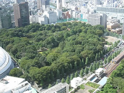 Koishikawa Kōraku En Attraction, Bunkyō-ku1 km NE
-
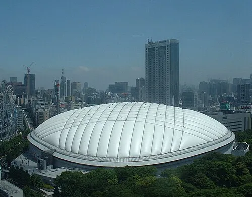 Tokyo Dome Landmark, Bunkyō-ku1.2 km NE
-
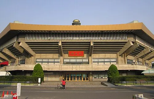 Nippon Budōkan Landmark, Chiyoda-ku1.2 km SE
-
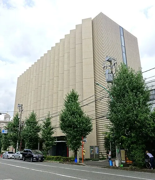 Yamatane Museum of Art Museum, Chiyoda-ku1.3 km SE
-
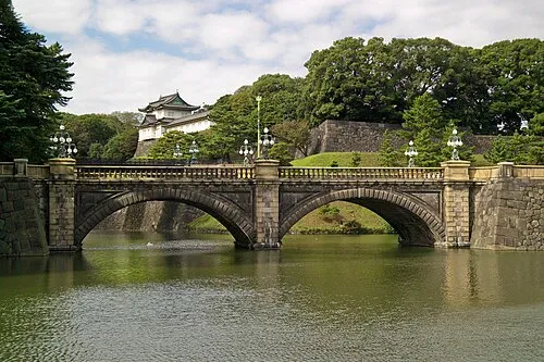 Tokyo Imperial Palace Historic site, Chiyoda-ku2.1 km SE
-
 Yushima Seidō Attraction, Bunkyō-ku2.4 km E
Sources & licences
Data last updated: · 2 independent sources