- Population
- 15,583
- 15.6K
- Elevation
- 37 m
- above sea level
- Local time
- UTC+09:00
- Asia/Tokyo · UTC+09:00
- Airports
- HND Tokyo Haneda International Airport20 km
- NRT Narita International Airport62 km
About Shimo’ochiai
Shimo’ochiai is a town. Location: Shinjuku, Tokyo. Population: 15,583. Elevation: 37 m. The best months to visit are May–June, October. The nearest airport is Tokyo Haneda International Airport (20 km). Nearby sights include Gokoku Ji and Shinjuku Gyōen.
Climate of Shimo’ochiai
Best months for sightseeingBest months for sightseeing: May–June, October.
This month · November
Outside the best season
Day 17° · Night 8° · Rain 85 mm
Better nearby cities in November
- Isehara · 50 km southwest18°
- Odawara · 71 km southwest19°
- Mishima · 98 km southwest18°
- Hottest month
- August (day 31°)
- Coldest month
- January (night 1°)
- Wettest month
- September (202 mm)
- Driest month
- December (40 mm)
Bars: average monthly low and high temperature. Below: precipitation. Monthly averages for 1970–2000 at about 18 km resolution, adjusted for elevation. Highlighted months are mild and relatively dry. Source: WorldClim 2.1 (CC BY 4.0).
Show values as a table
| Month | Jan | Feb | Mar | Apr | May | Jun | Jul | Aug | Sep | Oct | Nov | Dec |
|---|---|---|---|---|---|---|---|---|---|---|---|---|
| Average high (°C) | 9° | 10° | 13° | 19° | 23° | 25° | 29° | 31° | 27° | 21° | 17° | 12° |
| Average low (°C) | 1° | 1° | 4° | 10° | 14° | 18° | 22° | 23° | 20° | 14° | 8° | 3° |
| Precipitation (mm) | 43 | 58 | 101 | 119 | 129 | 174 | 157 | 157 | 202 | 167 | 85 | 40 |
How to get to Shimo’ochiai
The nearest airport is Tokyo Haneda International Airport (HND), 20 km to the south as the crow flies. The nearest large city is Nakano City, 3 km to the southwest.
Airports
- Tokyo Haneda International Airport (HND) Tokyo 20 kmsouth
- Narita International Airport (NRT) Narita 62 kmeast
- Ibaraki Airport (IBR) Omitama 82 kmnortheast
Nearby large cities
- Nakano City Population: 344.9K 3 kmsouthwest
- Kita-ku Population: 332.1K 5 kmnortheast
- Minato Population: 260.5K 8 kmsoutheast
- Chuo Population: 169.2K 9 kmsoutheast
- Kawaguchi Population: 607.4K 9 kmnorth
Straight-line distances; road distances are longer. Airport data: OurAirports.
Day trips from Shimo’ochiai
Within 100 km: 50 historic and cultural sites, 42 natural sites, 42 lakes, rivers and coasts.
0–25 km48 places
- Saitama Super Arena Landmark 20 kmN
- Ueno Dōbutsuen Attraction 6 kmE
- National Museum of Modern Art Museum 6 kmSE
- Arisugawa-no-miya Memorial Park Natural site 8 kmS
25–60 km49 places
- Enoshima Island 51 kmSW
- Ai River River 59 kmS
- Iruma River River 25 kmNW
- Lake Tega Lake 37 kmNE
60–100 km37 places
- Jōga Shima Island 65 kmS
- Hatsu-shima Island 90 kmSW
- Mount Echizen-dake Mountain 98 kmSW
- Mount Atago Mountain 72 kmS
Straight-line distances.
Nearby attractions & nature
Everything nearby-
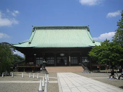 Gokoku Ji Attraction, Bunkyō-ku2.1 km E
-
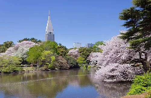 Shinjuku Gyōen Attraction, Shinjuku4 km S
-
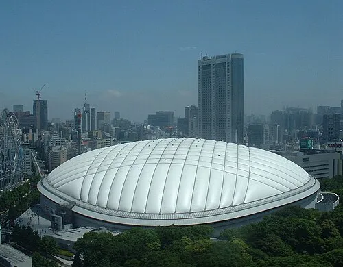 Tokyo Dome Landmark, Bunkyō-ku4.8 km E
-
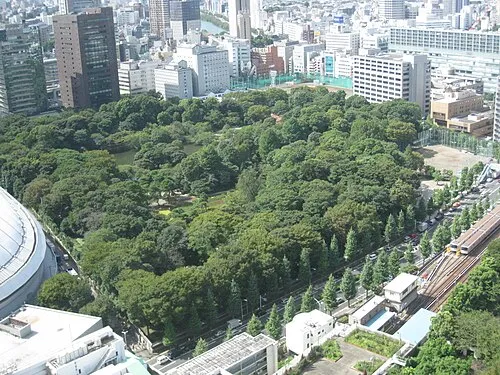 Koishikawa Kōraku En Attraction, Bunkyō-ku4.6 km E
-
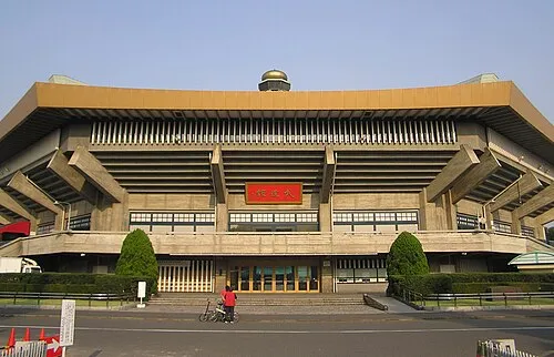 Nippon Budōkan Landmark, Chiyoda-ku5.2 km SE
-
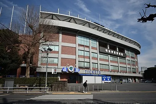 Meiji Jingu Stadium Landmark, Shinjuku5.3 km S
-
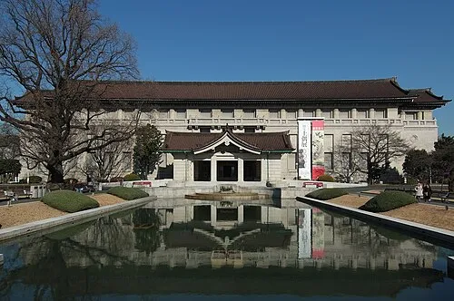 Tokyo National Museum Museum, Taito6.6 km E
-
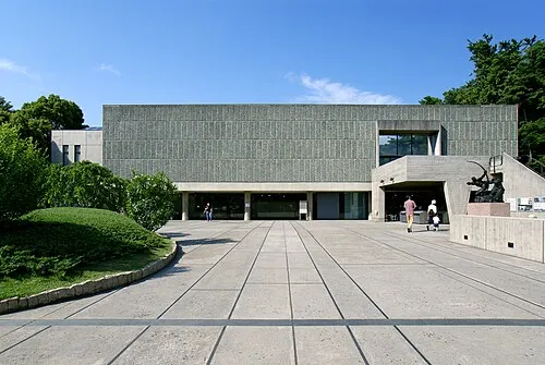 National Museum of Western Art Museum, Taito6.7 km E
Sources & licences
Data last updated: