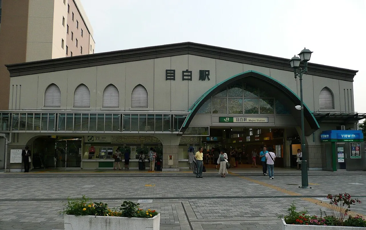
- Population
- 14,182
- 14.2K
- Elevation
- 39 m
- above sea level
- Local time
- UTC+09:00
- Asia/Tokyo · UTC+09:00
- Airports
- HND Tokyo Haneda International Airport21 km
- NRT Narita International Airport62 km
About Mejiro
Mejiro is a town. Location: Toshima, Tokyo. Population: 14,182. Elevation: 39 m.
Mejiro (目白) is a residential district of Toshima, Tokyo, Japan, centered at Mejiro Station of Yamanote Line. The district's name (literally "white eyes") is after Mejiro Fudō, which is one of the Goshiki Fudō. Mejiro is home to the prestigious Gakushuin University. The university's predecessor was established in 1877 to educate the children of the nobility. Its notable alumni include most members of the present Imperial House of Japan as well as the 59th Prime Minister of Japan Tarō Asō.
Read more on Wikipedia Text: Wikipedia contributors · CC BY-SA 4.0 · shortened
Climate of Mejiro
Best months for sightseeingBest months for sightseeing: May–June, October.
Bars: average monthly low and high temperature. Below: precipitation. Monthly averages for 1970–2000 at about 18 km resolution, adjusted for elevation. Highlighted months are mild and relatively dry. Source: WorldClim 2.1 (CC BY 4.0).
Show values as a table
| Month | Jan | Feb | Mar | Apr | May | Jun | Jul | Aug | Sep | Oct | Nov | Dec |
|---|---|---|---|---|---|---|---|---|---|---|---|---|
| Average high (°C) | 9° | 10° | 13° | 19° | 23° | 25° | 29° | 31° | 27° | 21° | 17° | 12° |
| Average low (°C) | 1° | 1° | 4° | 10° | 14° | 18° | 22° | 23° | 20° | 14° | 8° | 3° |
| Precipitation (mm) | 43 | 58 | 101 | 119 | 129 | 174 | 157 | 157 | 202 | 167 | 85 | 40 |
Airports nearest to Mejiro
- Tokyo Haneda International Airport (HND) Tokyo 21 km
- Narita International Airport (NRT) Narita 62 km
- Ibaraki Airport (IBR) Omitama 82 km
Straight-line distance; airports with scheduled flights only. Source: OurAirports (public domain).
Nearby attractions & nature
Everything nearby-
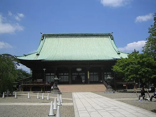 Gokoku Ji Attraction, Bunkyō-ku2 km E
-
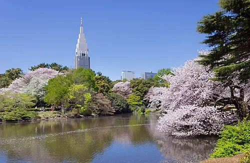 Shinjuku Gyōen Attraction, Shinjuku4.4 km S
-
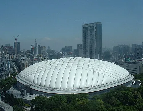 Tokyo Dome Landmark, Bunkyō-ku4.8 km SE
-
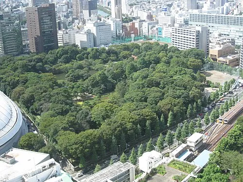 Koishikawa Kōraku En Attraction, Bunkyō-ku4.7 km SE
-
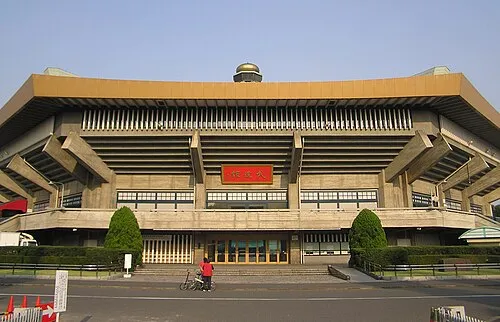 Nippon Budōkan Landmark, Chiyoda-ku5.4 km SE
-
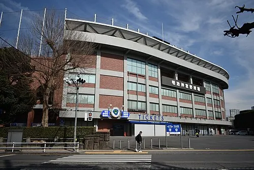 Meiji Jingu Stadium Landmark, Shinjuku5.7 km S
-
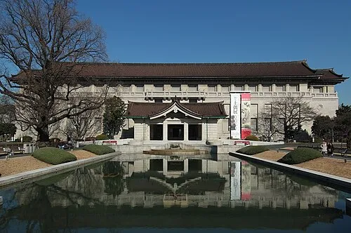 Tokyo National Museum Museum, Taito6.5 km E
-
Rokugi En Attraction, Bunkyō-ku4 km E
Sources & licences
Data last updated: · 2 independent sources