- Population
- 18,637
- 18.6K
- Elevation
- 27 m
- above sea level
- Local time
- UTC+09:00
- Asia/Tokyo · UTC+09:00
- Airports
- HND Tokyo Haneda International Airport21 km
- NRT Narita International Airport59 km
About Sugamo
Sugamo is a neighbourhood. Location: Toshima, Tokyo. Population: 18,637.
Sugamo (巣鴨) is a neighborhood in Toshima, Tokyo, Japan. It is home to Jizō-dōri (地蔵通り), a shopping street popular among the older generation, earning it the nickname "Granny's Harajuku." It lies at the crossing point of the JR Yamanote Line and National Route 17. Available public transportation to Sugamo are JR Yamanote Line and Toei Mita Line. There is also Koshinzuka station of Toden Arakawa Line in the middle of Jizō-dōri (地蔵通り) shopping street.
Source: Wikipedia · CC BY-SA 4.0
Climate of Sugamo
Best months for sightseeingBest months for sightseeing: May–June, October.
This month · November
Outside the best season
Day 17° · Night 8° · Rain 85 mm
Better nearby cities in November
- Isehara · 53 km southwest18°
- Odawara · 74 km southwest19°
- Mishima · 101 km southwest18°
- Hottest month
- August (day 31°)
- Coldest month
- January (night 1°)
- Wettest month
- September (202 mm)
- Driest month
- December (40 mm)
Bars: average monthly low and high temperature. Below: precipitation. Monthly averages for 1970–2000 at about 18 km resolution, adjusted for elevation. Highlighted months are mild and relatively dry. Source: WorldClim 2.1 (CC BY 4.0).
Show values as a table
| Month | Jan | Feb | Mar | Apr | May | Jun | Jul | Aug | Sep | Oct | Nov | Dec |
|---|---|---|---|---|---|---|---|---|---|---|---|---|
| Average high (°C) | 9° | 10° | 13° | 19° | 23° | 25° | 29° | 31° | 27° | 21° | 17° | 12° |
| Average low (°C) | 1° | 1° | 4° | 10° | 14° | 18° | 22° | 23° | 20° | 14° | 8° | 3° |
| Precipitation (mm) | 43 | 58 | 101 | 119 | 129 | 174 | 157 | 157 | 202 | 167 | 85 | 40 |
How to get to Sugamo
The nearest airport is Tokyo Haneda International Airport (HND), 21 km to the south as the crow flies. The nearest large city is Kita-ku, 2 km to the north.
Airports
- Tokyo Haneda International Airport (HND) Tokyo 21 kmsouth
- Narita International Airport (NRT) Narita 59 kmeast
- Ibaraki Airport (IBR) Omitama 79 kmnortheast
Nearby large cities
- Kita-ku Population: 332.1K 2 kmnorth
- Nakano City Population: 344.9K 7 kmsouthwest
- Kawaguchi Population: 607.4K 8 kmnorth
- Chuo Population: 169.2K 8 kmsoutheast
- Minato Population: 260.5K 9 kmsouth
Straight-line distances; road distances are longer. Airport data: OurAirports.
Nearby attractions & nature
Everything nearby-
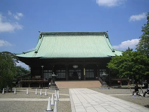 Gokoku Ji Attraction, Bunkyō-ku1.6 km SW
-
Rokugi En Attraction, Bunkyō-ku1.2 km E
-
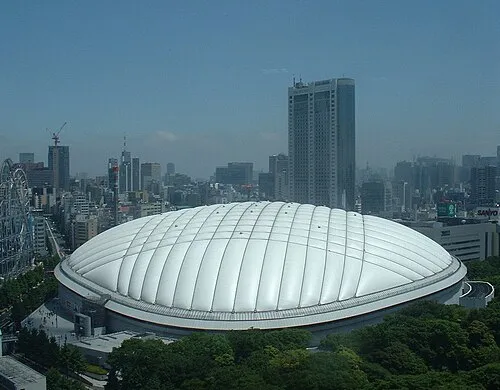 Tokyo Dome Landmark, Bunkyō-ku3.7 km SE
-
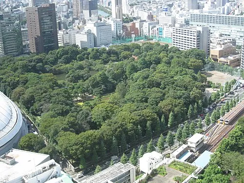 Koishikawa Kōraku En Attraction, Bunkyō-ku3.6 km SE
-
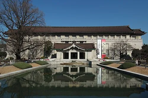 Tokyo National Museum Museum, Taito4.2 km SE
-
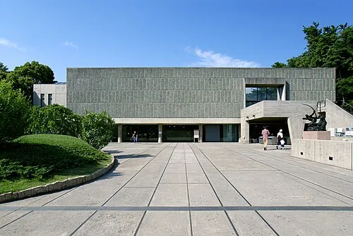 National Museum of Western Art Museum, Taito4.4 km SE
Sources & licences
Data last updated: · 2 independent sources